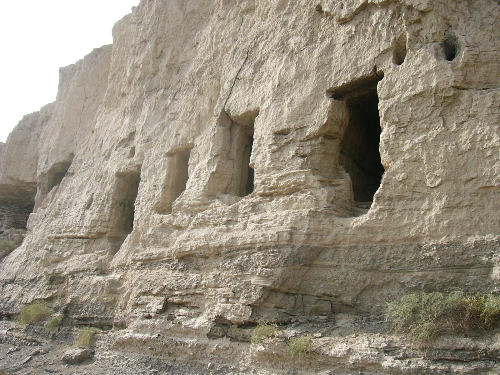
ヤールホトの両側を流れ出る河は、下流でダムにせき止められている。河の下流の両岸には石窟がある。これは右岸側の窟。窟は水面より2-3メートルほど高いところに穿たれている。
Card Information
Class
Image Card
Identifier (dcterms:identifier)
http://dsr.nii.ac.jp/photograph/iiif/turfan0671.tif/full/full/0/default.jpg
Spatial Coverage (dcterms:spatial)
雅爾湖水庫石窟
Place Card
Is Part Of (dcterms:isPartOf)
http://dsr.nii.ac.jp/photograph/manifest/turfan0671
number (bibo:number)
http://dsr.nii.ac.jp/photograph/iiif/canvas/turfan0671
Source (dcterms:source)
Image
Map
- Stein Place Name - Innermost Asia / Kara-Khoja
- Not Collated
- Hedin Place Name - Central Asia Atlas
- Collated
- German Expeditions Place Name - Idikutschari
- Not Collated (with Image Cards)
- Huang Wenbi Place Name - Archaeological Report in Turfan / Archaeological Report in Tarim Basin
- Collated (with Image Cards)
- DSR Place Name - Silk Road in Photographs
- Ruin Card
Linked Cards
Filter by property
| Title | Alternate label | Class |
|---|---|---|
| Canvas Indexer search result | Curation Card |
Graph of Related Cards
Ruin Card
Image Card
Image Matching Card
Place Card
Place Matching Card
Reference Card
Curation Card