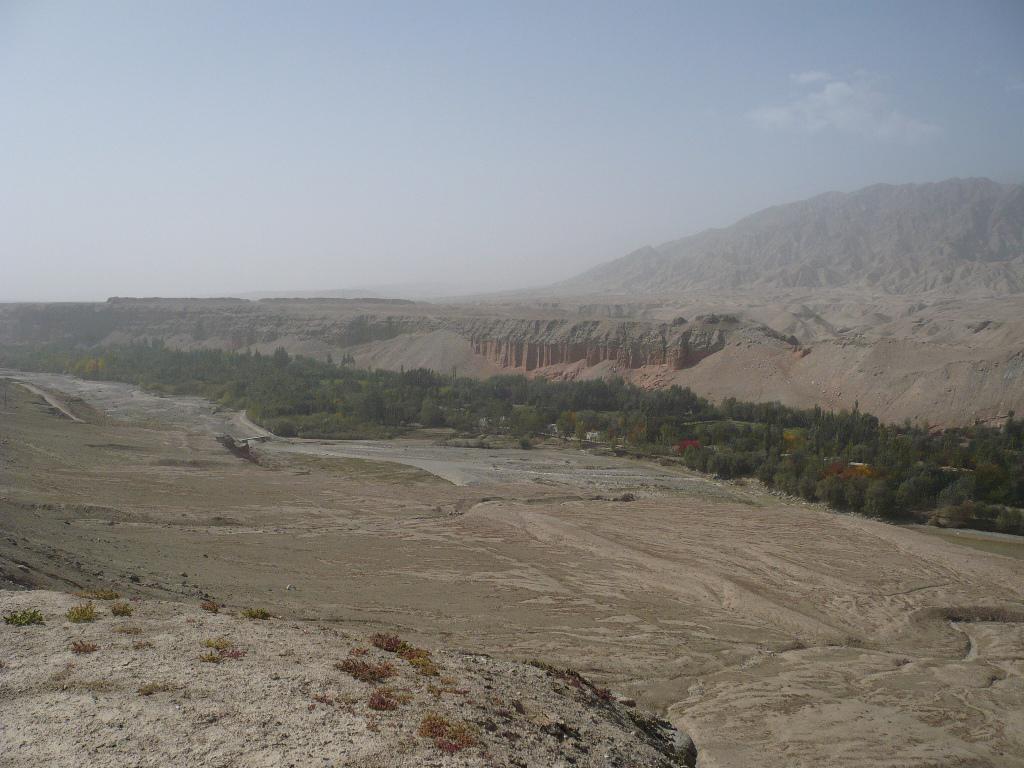
阿薩城堡遠景。手前の緑の帯は阿薩村、その手前には阿薩河が流れる。阿薩河は下流で阿西河となり、最後はチラ河と名を変える。阿薩城堡のウイグル名は"Nokhturosh-kurghan"といい、阿薩城堡と対になる城である。
Card Information
Class
Image Card
Identifier (dcterms:identifier)
http://dsr.nii.ac.jp/photograph/iiif/khotan0065.tif/full/full/0/default.jpg
Spatial Coverage (dcterms:spatial)
阿薩城堡
Place Card
Is Part Of (dcterms:isPartOf)
http://dsr.nii.ac.jp/photograph/manifest/khotan0065
number (bibo:number)
http://dsr.nii.ac.jp/photograph/iiif/canvas/khotan0065
Source (dcterms:source)
ja
阿薩城堡遠景
en
Long-distance view of ruined town above Asa
Image
Map
- Stein Place Name - Innermost Asia / Kara-Khoja
- Not Collated
- Hedin Place Name - Central Asia Atlas
- Collated
- German Expeditions Place Name - Idikutschari
- Not Collated (with Image Cards)
- Huang Wenbi Place Name - Archaeological Report in Turfan / Archaeological Report in Tarim Basin
- Collated (with Image Cards)
- DSR Place Name - Silk Road in Photographs
- Ruin Card
Linked Cards
Filter by property
| Title | Alternate label | Class |
|---|---|---|
| Canvas Indexer search result | Curation Card |
Graph of Related Cards
Ruin Card
Image Card
Image Matching Card
Place Card
Place Matching Card
Reference Card
Curation Card