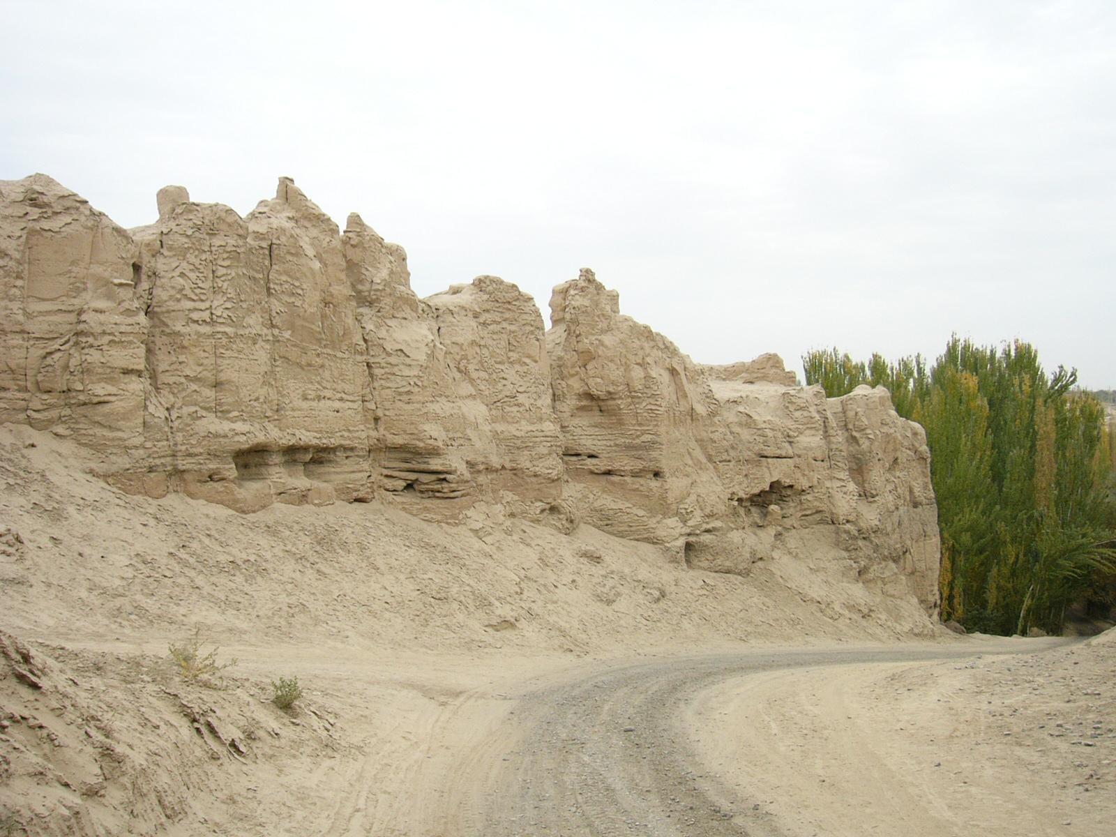
烏江不拉克故城。烏江不拉克古墓群からムルトゥク村に下りていく途中の台地の上にある。門趾の付近から南側の断崖をみたところ。坂の下のポプラの見えるあたりがムルトゥク村である。
Card Information
Class
Image Card
Identifier (dcterms:identifier)
http://dsr.nii.ac.jp/photograph/iiif/turfan0353.tif/full/full/0/default.jpg
Spatial Coverage (dcterms:spatial)
烏江不拉克(ウジャンブラク)故城
Place Card
Is Part Of (dcterms:isPartOf)
http://dsr.nii.ac.jp/photograph/manifest/turfan0353
number (bibo:number)
http://dsr.nii.ac.jp/photograph/iiif/canvas/turfan0353
Source (dcterms:source)
Image
Map
- Stein Place Name - Innermost Asia / Kara-Khoja
- Not Collated
- Hedin Place Name - Central Asia Atlas
- Collated
- German Expeditions Place Name - Idikutschari
- Not Collated (with Image Cards)
- Huang Wenbi Place Name - Archaeological Report in Turfan / Archaeological Report in Tarim Basin
- Collated (with Image Cards)
- DSR Place Name - Silk Road in Photographs
- Ruin Card
Linked Cards
Filter by property
| Title | Alternate label | Class |
|---|---|---|
| Canvas Indexer search result | Curation Card |
Graph of Related Cards
Ruin Card
Image Card
Image Matching Card
Place Card
Place Matching Card
Reference Card
Curation Card