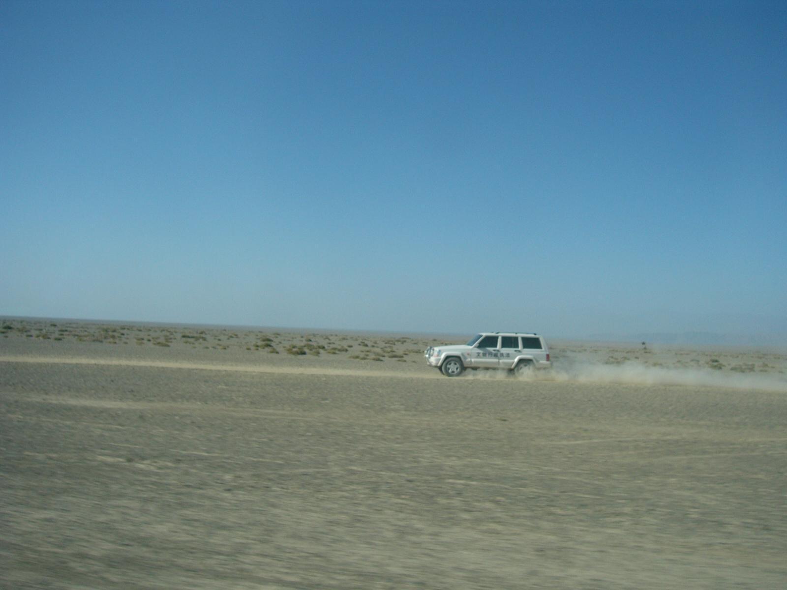
廟児溝仏教寺院遺址からハミの間には広大なゴビの扇状地帯が広がっている。スタインはこれはGravel Saiと記している。ハミに向かってゴビを走る車。
Card Information
Class
Image Card
Identifier (dcterms:identifier)
http://dsr.nii.ac.jp/photograph/iiif/hami0061.tif/full/full/0/default.jpg
Spatial Coverage (dcterms:spatial)
廟児溝仏教寺院遺址
Place Card
Is Part Of (dcterms:isPartOf)
http://dsr.nii.ac.jp/photograph/manifest/hami0061
number (bibo:number)
http://dsr.nii.ac.jp/photograph/iiif/canvas/hami0061
Source (dcterms:source)
ja
廟児溝仏教寺院遺址からハミ(哈密)への道 (Gravel Sai)
en
Route from ruined buddhist shrines Ara-tam to Hami (Gravel Sai)
Image
Map
- Stein Place Name - Innermost Asia / Kara-Khoja
- Not Collated
- Hedin Place Name - Central Asia Atlas
- Collated
- German Expeditions Place Name - Idikutschari
- Not Collated (with Image Cards)
- Huang Wenbi Place Name - Archaeological Report in Turfan / Archaeological Report in Tarim Basin
- Collated (with Image Cards)
- DSR Place Name - Silk Road in Photographs
- Ruin Card
Linked Cards
Filter by property
| Title | Alternate label | Class |
|---|---|---|
| Canvas Indexer search result | Curation Card |
Graph of Related Cards
Ruin Card
Image Card
Image Matching Card
Place Card
Place Matching Card
Reference Card
Curation Card