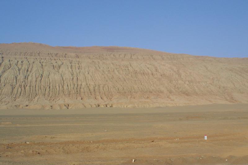
トルファン盆地の中部、トルファン市街の東方約28キロメートル先に横たわる東西100キロメーター、南北10キロメーター、平均海抜500メーターの産地で、最も高いところは勝金口付近で851メートルに達する。中国で一番暑い土地と言われる。夏場になると山肌が立ち上る陽炎によって炎が燃えているように見えるため、火焔山とよばれるようになった。『西遊記』に登場することで有名。 / The flaming mountains are situated in the middle of the Turfan basin, also 28 km south of Turfan. It runs 100km from East to West, 10km from South to North, and averages 500 m above sea level. The highest altitude is near by Shengjin-gate, 851m. The area is known as the hottest land in China. The name, "Flaming mountains" comes from a scene which mountain surface looks like burning by air turbulence during Summer. It was made famous by the classical Chinese mythological novel "Journey to the West" (Xiyouji).
カード情報
クラス
画像カード
資源識別子/Identifier (dcterms:identifier)
http://dsr.nii.ac.jp/photograph/iiif/turfan0008.tif/full/full/0/default.jpg
空間的範囲/Spatial Coverage (dcterms:spatial)
火焔山
地名カード
部分である/Is Part Of (dcterms:isPartOf)
http://dsr.nii.ac.jp/photograph/manifest/turfan0008
番号/number (bibo:number)
http://dsr.nii.ac.jp/photograph/iiif/canvas/turfan0008
ソース (dcterms:source)
画像
地図
- スタイン地名 - Innermost Asia / Kara-Khoja
- 未照合
- ヘディン地名 - Central Asia Atlas
- 照合済み
- ドイツ隊地名 - Idikutschari
- 未照合(画像カードあり)
- 黄文弼地名 - 塔里木盆地考古記 / 吐魯番考古記
- 照合済み(画像カードあり)
- DSR地名 - 写真でつなぐシルクロード
- 遺跡カード
リンク元カード
プロパティでフィルター
| タイトル | 代替ラベル | クラス |
|---|---|---|
| Canvas Indexer search result | キュレーションカード |
関連カードグラフ
遺跡カード
画像カード
画像照合カード
地名カード
地名照合カード
文献カード
キュレーションカード