National Institute of Informatics - Digital Silk Road Project
| |||||||||
|
| Eine Routenaufnahme durch Ostpersien : vol.3 |
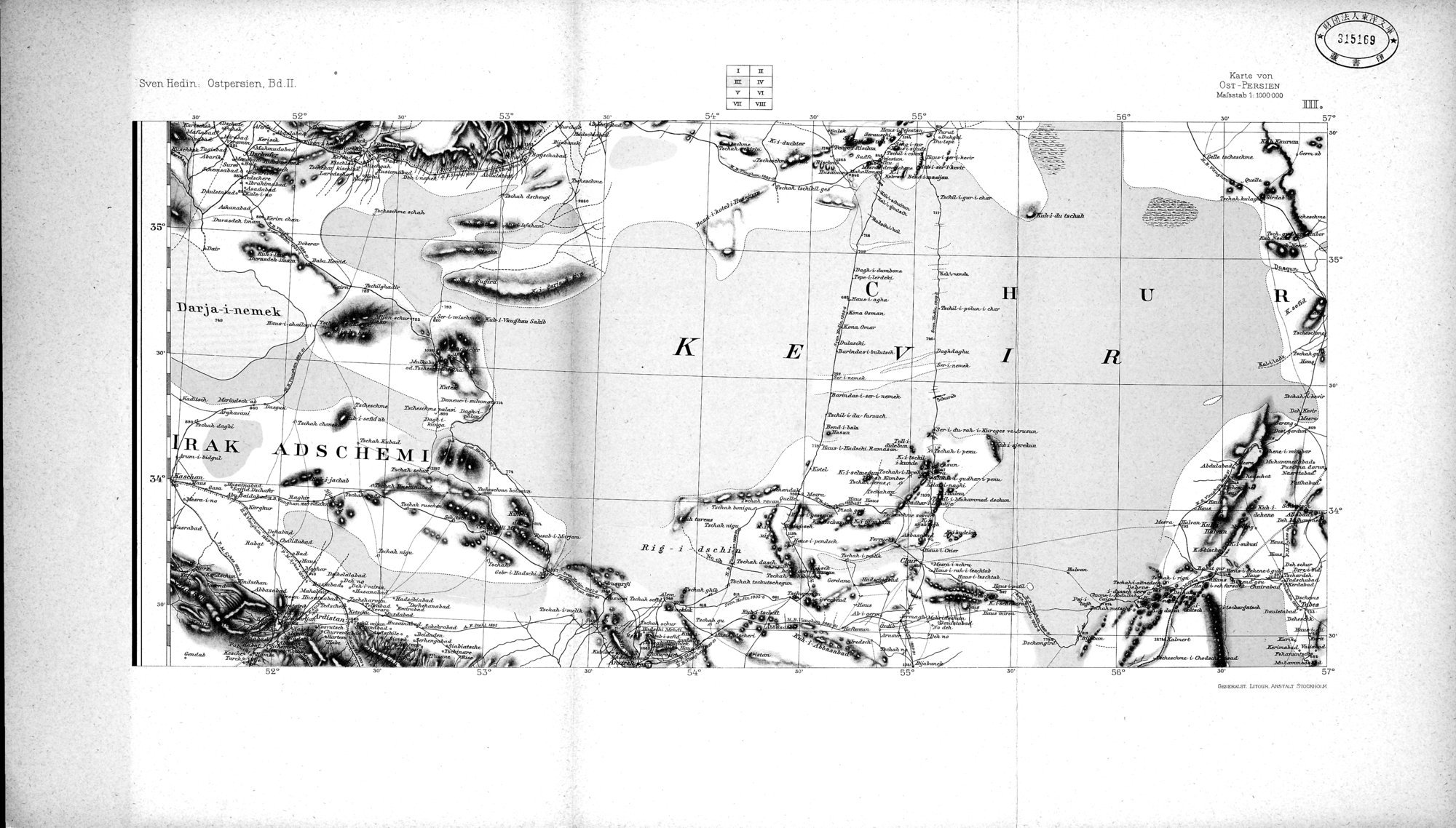 |
| KARTE VON OST-PERSIEN VON OBERST H. BYSTRÖM |
Sven Hedin: Ostpersien, Bd.II.
Karte von
OST-PERSIEN
Nsfaatab 1:1000000
v¢
55°
52'
UT.
56° so 57°
so.
35°
ama.m./aa.r.a.
p.~..° /,
o„M~
34°
ßMM i.
'..h........` _
/ Ai
.+iA1HAV~~.~.
_
30
O• 5
55°
Gamut.' IJT043. /3■9T.v3. T30001O131
1r
IV
0¢
v
wr
vrII
|
Copyright (C) 2003-2019 National Institute of Informatics and The Toyo Bunko. All Rights Reserved.