of the stream, and these it was of importance to note, as they frequently throw some light upon the local topography. For instance, Arpalik-kaja tells us, that corn is grown in that district; Kakschallik signifies »dry tree»; Tonguslik explains that wild-boar frequents the vicinity, or once did so; and Kalmak-jilghasi perpetuates the traditions of Mongols (Kalmucks) having once dwelt there. Muhammed-Ili-lenger is the name of a caravanserai, standing on the great caravan-route amid a grove of tall, slender poplars. Other names which figure in the forest nomenclature are Ara-koscha and Ghasanglik. The former marks the point of issue of an irrigation canal (arik), which runs west to Avat, though it only carries water in the height of the summer; indeed I think it very doubtful whether the canal really does reach the oases at all. At all events, in the course of an excursion which I made there on horseback in 1895, I remember encountering two dry river-beds, which the canal would of necessity have to get across.
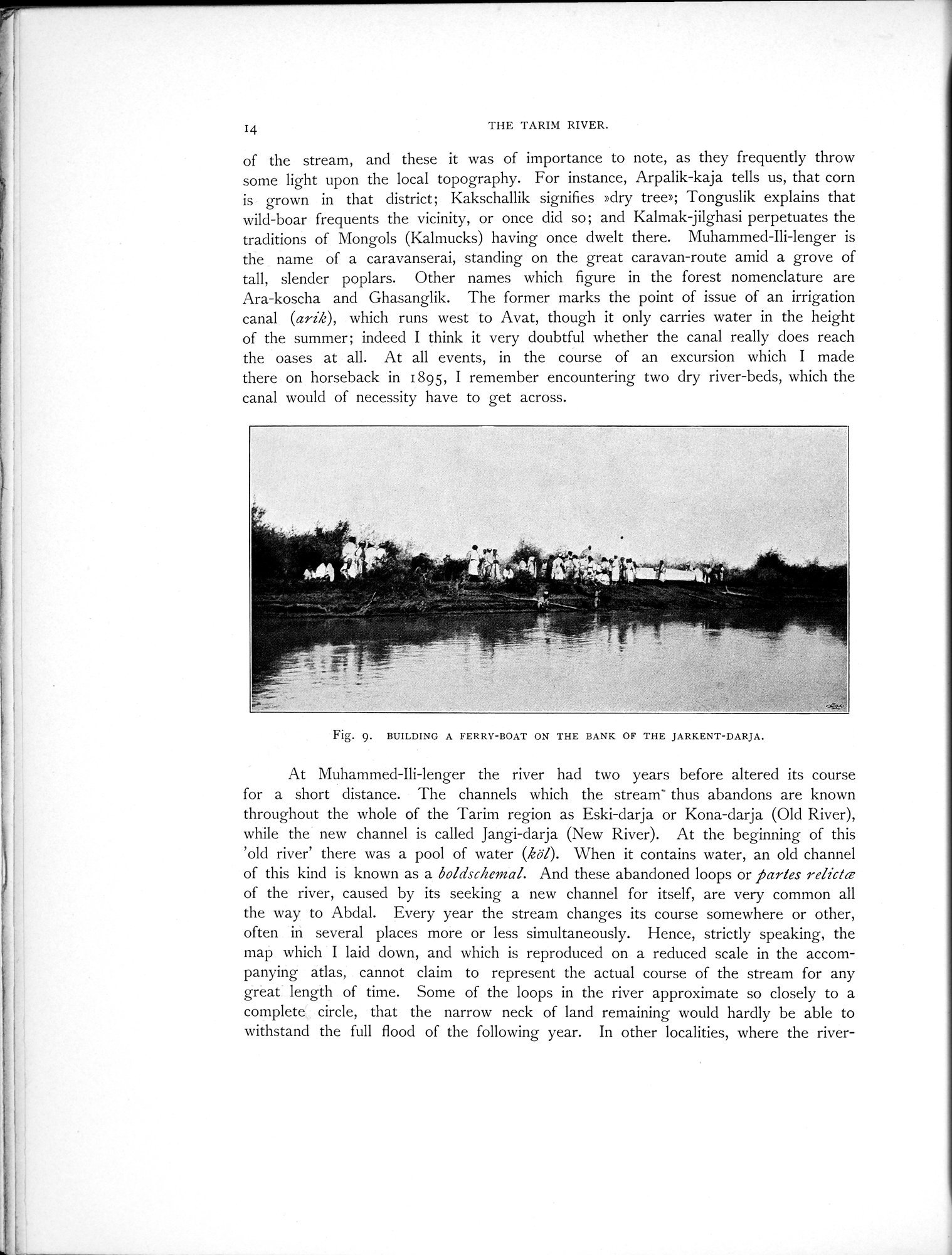
Fig. 9. BUILDING A FERRY-BOAT ON THE BANK OF THE JARKENT-DARJA.
At Muhammed-Ili-lenger the river had two years before altered its course for a short distance. The channels which the stream- thus abandons are known throughout the whole of the Tarim region as Eski-darja or Kona-darja (Old River), while the new channel is called Jangi-darja (New River). At the beginning of this 'old river' there was a pool of water (kai). When it contains water, an old channel of this kind is known as a boldschemal. And these abandoned loops or partes relicke of the river, caused by its seeking a new channel for itself, are very common all the way to Abdal. Every year the stream changes its course somewhere or other, often in several places more or less simultaneously. Hence, strictly speaking, the map which I laid down, and which is reproduced on a reduced scale in the accompanying atlas, cannot claim to represent the actual course of the stream for any great length of time. Some of the loops in the river approximate so closely to a complete circle, that the narrow neck of land remaining would hardly be able to withstand the full flood of the following year. In other localities, where the river-