National Institute of Informatics - Digital Silk Road Project
| |||||||||
|
| Scientific Results of a Journey in Central Asia, 1899-1902 : vol.1 |
 |
| SAJ-TAGH AND SAJ-KÖL AS SEEN FROM THE NORTHERNMOST PART OF TSCHOKA-TAGH. | |
| Sorun, October 5th. |
FROM KURUK-ASTI TO THE CONFLUENCE OF THE KODAJ-DARJA. 41
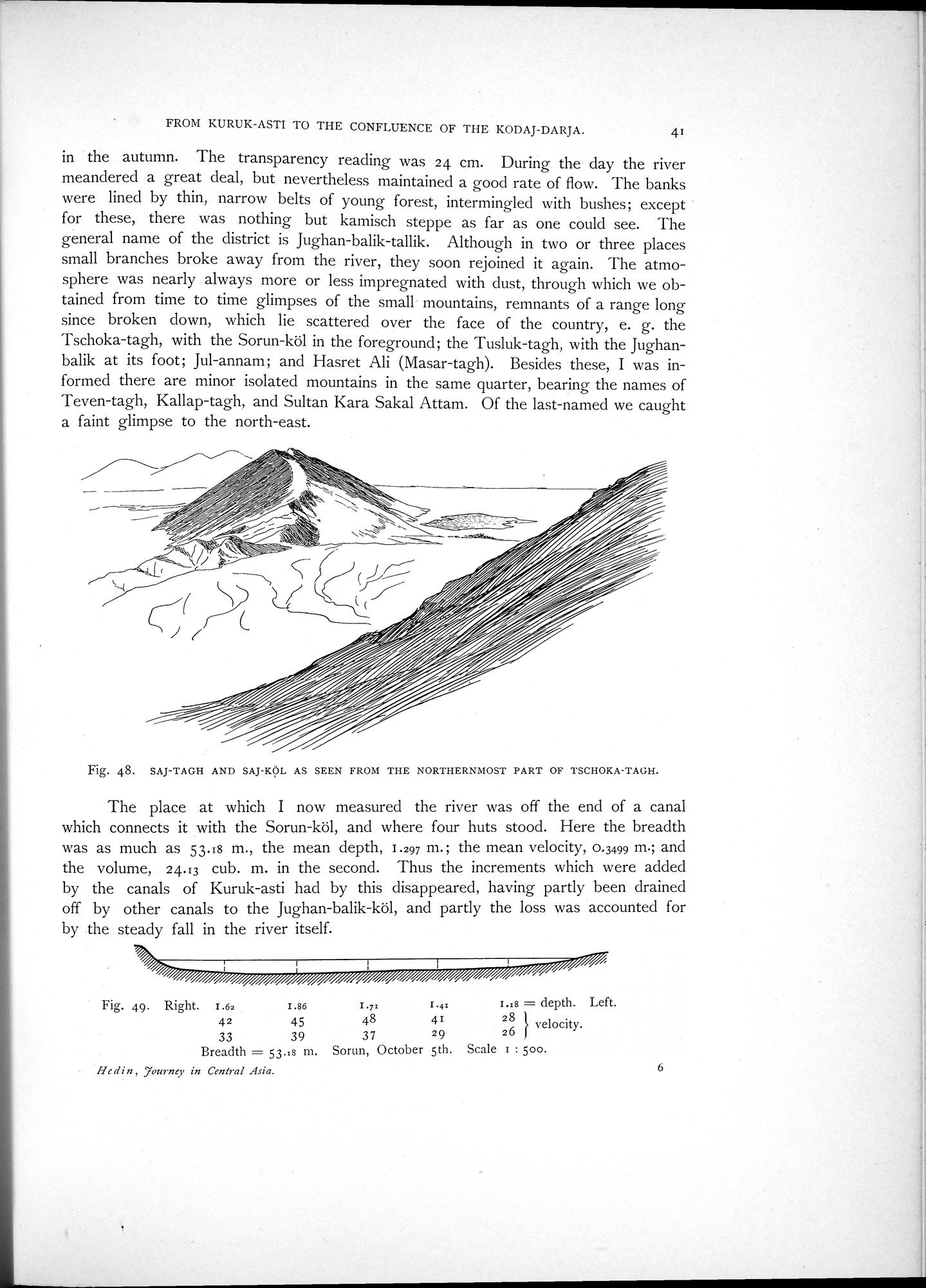
in the autumn. The transparency reading was 24 cm. During the day the river meandered a great deal, but nevertheless maintained a good rate of flow. The banks were lined by thin, narrow belts of young forest, intermingled with bushes; except for these, there was nothing but kamisch steppe as far as one could see. The general name of the district is Jughan-balik-tallik. Although in two or three places small branches broke away from the river, they soon rejoined it again. The atmosphere was nearly always more or less impregnated with dust, through which we obtained from time to time glimpses of the small mountains, remnants of a range long since broken down, which lie scattered over the face of the country, e. g. the Tschoka-tagh, with the Sorun-köl in the foreground; the Tusluk-tagh, with the Jughanbalik at its foot; Jul-annam; and Hasret Ali (Masar-tagh). Besides these, I was informed there are minor isolated mountains in the same quarter, bearing the names of Teven-tagh, Kallap-tagh, and Sultan Kara Sakal Attam. Of the last-named we caught a faint glimpse to the north-east.
Fig. 48. SAJ-TAGH AND SAJ-KÖL AS SEEN FROM THE NORTHERNMOST PART OF TSCHOKA-TAGH.
The place at which I now measured the river was off the end of a canal which connects it with the Sorun-k61, and where four huts stood. Here the breadth was as much as 53.18 m., the mean depth, 1.297 m.; the mean velocity, 0.3499 m.; and the volume, 24.13 cub. m. in the second. Thus the increments which were added by the canals of Kuruk-asti had by this disappeared, having partly been drained off by other canals to the Jughan-balik-köl, and partly the loss was accounted for by the steady fall in the river itself.
Fig. 49. Right. 1.62 r.86 1.7z 1.41 1.28 = depth. Left.
42 45 48 41 28 } velocity.
33 39 37 29 26
Breadth = 53.=8 m. Sorun, October 5th. Scale i : 500.
11e din, 7,urnev in Central Asia.
6
|
Copyright (C) 2003-2019 National Institute of Informatics and The Toyo Bunko. All Rights Reserved.