National Institute of Informatics - Digital Silk Road Project
| |||||||||
|
| Scientific Results of a Journey in Central Asia, 1899-1902 : vol.1 |
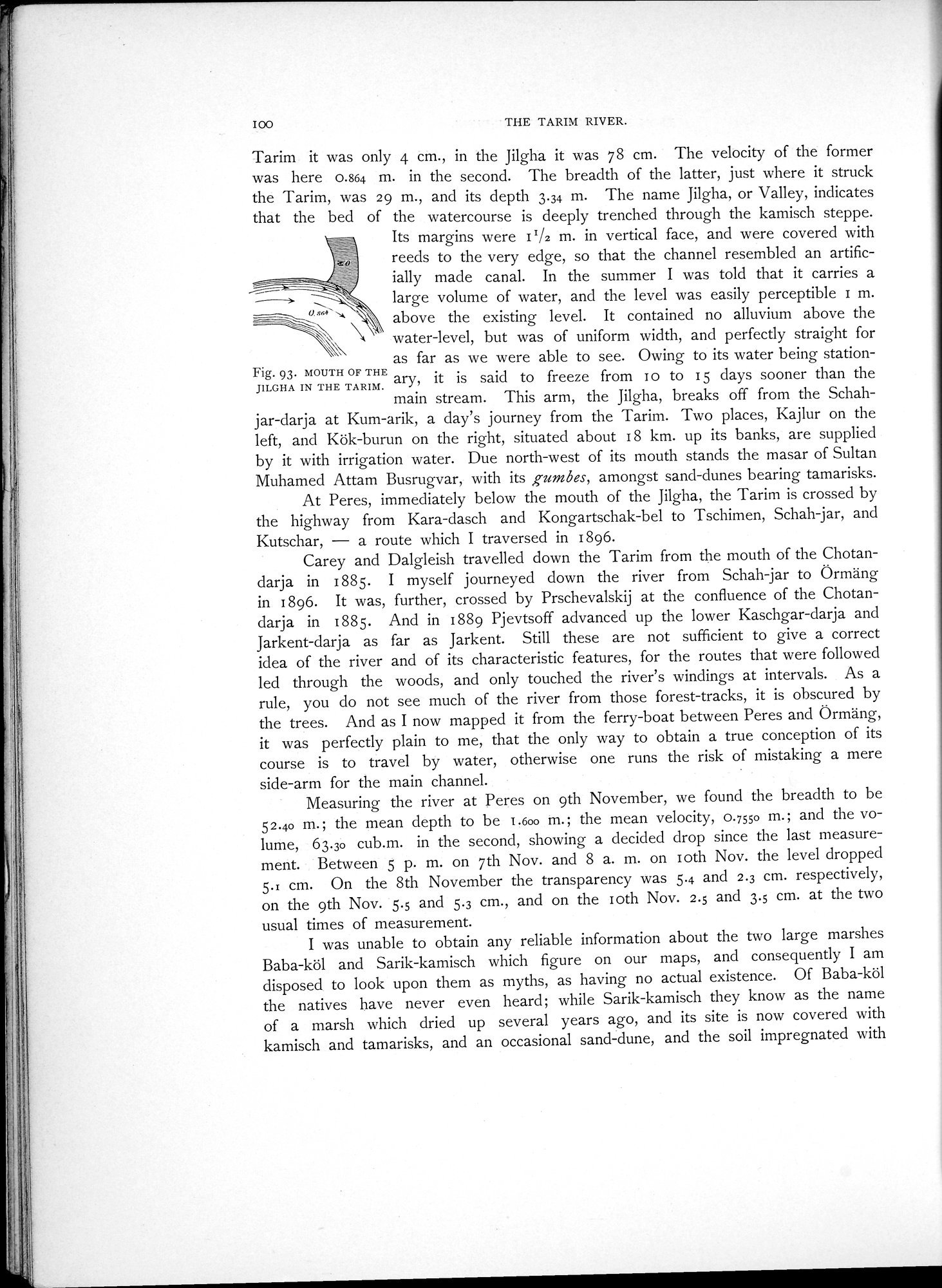 |
| MOUTH OF THE JILGHA IN THE TARIM. |
I00
THE TARIN RIVER.
Tarim it was only 4 cm., in the Jilgha it was 78 cm. The velocity of the former was here 0.864 m. in the second. The breadth of the latter, just where it struck the Tarim, was 29 m., and its depth 3.34 m. The name Jilgha, or Valley, indicates that the bed of the watercourse is deeply trenched through the kamisch steppe.
Its margins were II/2 m. in vertical face, and were covered with reeds to the very edge, so that the channel resembled an artificially made canal. In the summer I was told that it carries a large volume of water, and the level was easily perceptible 1 m. above the existing level. It contained no alluvium above the
water-level, but was of uniform width, and perfectly straight for
as far as we were able to see. Owing to its water being station-
Fig. 93. MOUTH OF THE
ary, is said to freeze from I o to 15 days sooner than the
JILGHA IN THE TARIM. ~~ 5 Y
main stream. This arm, the Jilgha, breaks off from the Schahjar-darja at Kum-arik, a day's journey from the Tarim. Two places, Kajlur on the left, and Kök-burun on the right, situated about 18 km. up its banks, are supplied by it with irrigation water. Due north-west of its mouth stands the masar of Sultan Muhamed Attam Busrugvar, with its gumbes, amongst sand-dunes bearing tamarisks.
At Peres, immediately below the mouth of the Jilgha, the Tarim is crossed by the highway from Kara-dasch and Kongartschak-bel to Tschimen, Schah jar, and Kutschar, — a route which I traversed in 1896.
Carey and Dalgleish travelled down the Tarim from the mouth of the Chotandarja in 1885. I myself journeyed down the river from Schah-jar to Örmäng in 1896. It was, further, crossed by Prschevalskij at the confluence of the Chotandarja in 1885. And in 1889 Pjevtsoff advanced up the lower Kaschgar-darja and Jarkent-darja as far as Jarkent. Still these are not sufficient to give a correct idea of the river and of its characteristic features, for the routes that were followed led through the woods, and only touched the river's windings at intervals. As a rule, you do not see much of the river from those forest-tracks, it is obscured by the trees. And as I now mapped it from the ferry-boat between Peres and Örmäng, it was perfectly plain to me, that the only way to obtain a true conception of its course is to travel by water, otherwise one runs the risk of mistaking a mere side-arm for the main channel.
Measuring the river at Peres on 9th November, we found the breadth to be 52.40 m.; the mean depth to be I.600 m.; the mean velocity, 0.7550 m.; and the volume, 63.30 cub.m. in the second, showing a decided drop since the last measurement. Between 5 p. m. on 7th Nov. and 8 a. m. on loth Nov. the level dropped 5.i cm. On the 8th November the transparency was 5.4 and 2.3 cm. respectively, on the 9th Nov. 5.5 and 5.3 cm., and on the I oth Nov. 2.5 and 3.5 cm. at the two usual times of measurement.
I was unable to obtain any reliable information about the two large marshes Baba-köl and Sarik-kamisch which figure on our maps, and consequently I am disposed to look upon them as myths, as having no actual existence. Of Baba-k61 the natives have never even heard; while Sarik-kamisch they know as the name of a marsh which dried up several years ago, and its site is now covered with kamisch and tamarisks, and an occasional sand-dune, and the soil impregnated with
|
Copyright (C) 2003-2019 National Institute of Informatics and The Toyo Bunko. All Rights Reserved.