National Institute of Informatics - Digital Silk Road Project
| |||||||||
|
| Scientific Results of a Journey in Central Asia, 1899-1902 : vol.1 |
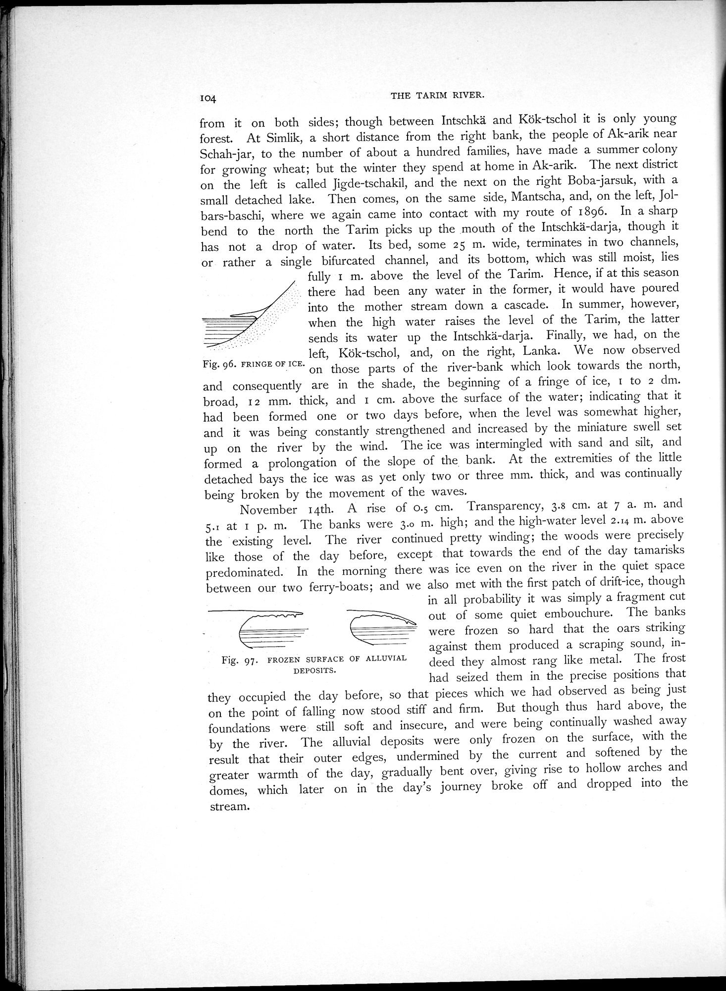 |
| FRINGE OF ICE. | |
| FROZEN SURFACE OF ALLUVIAL DEPOSITS. |
I04 THE TARIM RIVER.
from it on both sides; though between Intschkä and Kök-tschol it is only young forest. At Simlik, a short distance from the right bank, the people of Ak-arik near Schah-jar, to the number of about a hundred families, have made a summer colony for growing wheat; but the winter they spend at home in Ak-arik. The next district on the left is called Jigde-tschakil, and the next on the right Boba-jarsuk, with a small detached lake. Then comes, on the same side, Mantscha, and, on the left, Jolbars-baschi, where we again came into contact with my route of 1896. In a sharp bend to the north the Tarim picks up the mouth of the Intschkä-darja, though it has not a drop of water. Its bed, some 25 m. wide, terminates in two channels, or rather a single bifurcated channel, and its bottom, which was still moist, lies
fully I m. above the level of the Tarim. Hence, if at this season there had been any water in the former, it would have poured into the mother stream down a cascade. In summer, however, when the high water raises the level of the Tarim, the latter sends its water up the Intschkä-darja. Finally, we had, on the left, Kök-tschol, and, on the right, Lanka. We now observed
Fig. 96. FRINGE OF ICE. on those parts of the river-bank which look towards the north, and consequently are in the shade, the beginning of a fringe of ice, r to 2 cim. broad, 12 mm. thick, and I cm. above the surface of the water; indicating that it had been formed one or two days before, when the level was somewhat higher, and it was being constantly strengthened and increased by the miniature swell set up on the river by the wind. The ice was intermingled with sand and silt, and formed a prolongation of the slope of the bank. At the extremities of the little detached bays the ice was as yet only two or three mm. thick, and was continually being broken by the movement of the waves.
November 14th. A rise of 0.5 cm. Transparency, 3.8 cm. at 7 a. m. and 5.1 at I p. m. The banks were 3.o ni. high; and the high-water level 2.14 m. above the existing level. The river continued pretty winding; the woods were precisely like those of the clay before, except that towards the end of the day tamarisks predominated. In the morning there was ice even on the river in the quiet space between our two ferry-boats; and we also met with the first patch of drift-ice, though
in all probability it was simply a fragment cut out of some quiet embouchure. The banks were frozen so hard that the oars striking against them produced a scraping sound, indeed they almost rang like metal. The frost had seized them in the precise positions that
they occupied the clay before, so that pieces which we had observed as being just on the point of falling now stood stiff and firm. But though thus hard above, the foundations were still soft and insecure, and were being continually washed away by the river. The alluvial deposits were only frozen on the surface, with the result that their outer edges, undermined by the current and softened by the greater warmth of the day, gradually bent over, giving rise to hollow arches and domes, which later on in the day's journey broke off and dropped into the stream.
Fig. 97. FROZEN SURFACE OF ALLUVIAL
DEPOSITS.
|
Copyright (C) 2003-2019 National Institute of Informatics and The Toyo Bunko. All Rights Reserved.