National Institute of Informatics - Digital Silk Road Project
| |||||||||
|
| Scientific Results of a Journey in Central Asia, 1899-1902 : vol.1 |
 |
| DUNE WITH VEGETATION, RESTING UPON HORIZONTAL CLAY. |
Io6 THE TARIM RIVER.
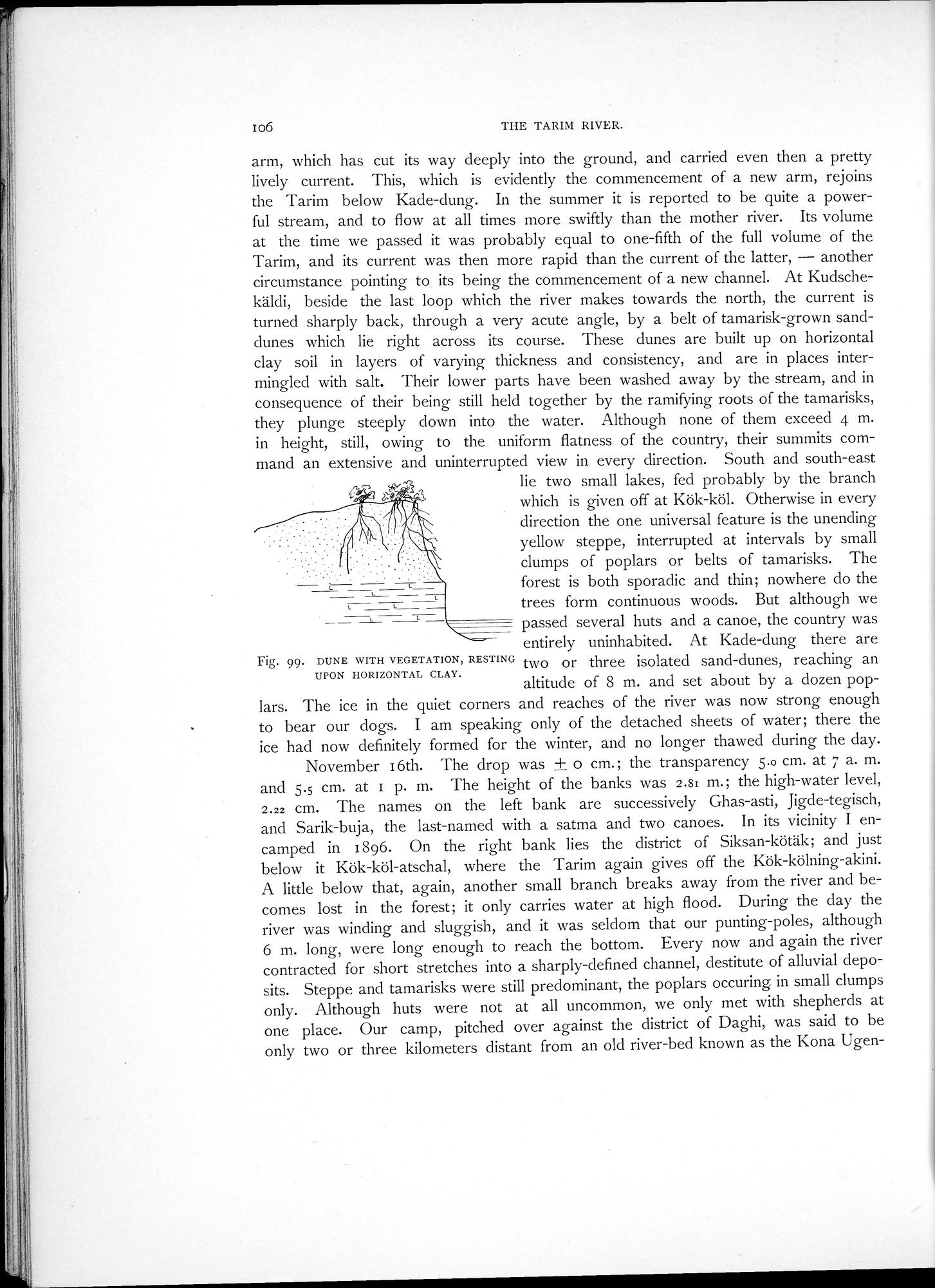
arm, which has cut its way deeply into the ground, and carried even then a pretty lively current. This, which is evidently the commencement of a new arm, rejoins the Tarim below Kade-dung. In the summer it is reported to be quite a powerful stream, and to flow at all times more swiftly than the mother river. Its volume at the time we passed it was probably equal to one-fifth of the full volume of the Tarim, and its current was then more rapid than the current of the latter, — another circumstance pointing to its being the commencement of a new channel. At Kudschekäldi, beside the last loop which the river makes towards the north, the current is turned sharply back, through a very acute angle, by a belt of tamarisk-grown sanddunes which lie right across its course. These dunes are built up on horizontal clay soil in layers of varying thickness and consistency, and are in places intermingled with salt. Their lower parts have been washed away by the stream, and in consequence of their being still held together by the ramifying roots of the tamarisks, they plunge steeply down into the water. Although none of them exceed 4 m. in height, still, owing to the uniform flatness of the country, their summits command an extensive and uninterrupted view in every direction. South and south-east
" lie two small lakes, fed probably by the branch
C.
~' ~ which is given off at Kök-köl. Otherwise in every
direction the one universal feature is the unending
yellow steppe, interrupted at intervals by small
clumps of poplars or belts of tamarisks. The forest is both sporadic and thin; nowhere do the trees form continuous woods. But although we passed several huts and a canoe, the country was entirely uninhabited. At Kade-dung there are
Fig. 99. DUNE WITH VEGETATION, RESTING two or three isolated sand-dunes, reaching an UPON HORIZONTAL CLAY.
altitude of 8 m. and set about by a dozen poplars. The ice in the quiet corners and reaches of the river was now strong enough to bear our dogs. I am speaking only of the detached sheets of water; there the ice had now definitely formed for the winter, and no longer thawed during the day.
November 16th. The drop was ± o cm.; the transparency 5.0 cm. at 7 a. m. and 5.5 cm. at 1 p. m. The height of the banks was 2.8: m.; the high-water level, 2.22 cm. The names on the left bank are successively Ghas-asti, Jigde-tegisch, and Sarik-buja, the last-named with a satma and two canoes. In its vicinity I encamped in 1896. On the right bank lies the district of Siksan-kötäk; and just below it Kök-köl-atschal, where the Tarim again gives off the Kök-kölning-akini. A little below that, again, another small branch breaks away from the river and becomes lost in the forest; it only carries water at high flood. During the day the river was winding and sluggish, and it was seldom that our punting-poles, although 6 m. long, were long enough to reach the bottom. Every now and again the river contracted for short stretches into a sharply-defined channel, destitute of alluvial deposits. Steppe and tamarisks were still predominant, the poplars occuring in small clumps only. Although huts were not at all uncommon, we only met with shepherds at one place. Our camp, pitched over against the district of Daghi, was said to be only two or three kilometers distant from an old river-bed known as the Kona Ugen-
|
Copyright (C) 2003-2019 National Institute of Informatics and The Toyo Bunko. All Rights Reserved.