National Institute of Informatics - Digital Silk Road Project
| |||||||||
|
| Scientific Results of a Journey in Central Asia, 1899-1902 : vol.1 |
 |
| SECTION OF THE NARROW RIVER BED. |
| 114 | THE TARIM RIVER. |
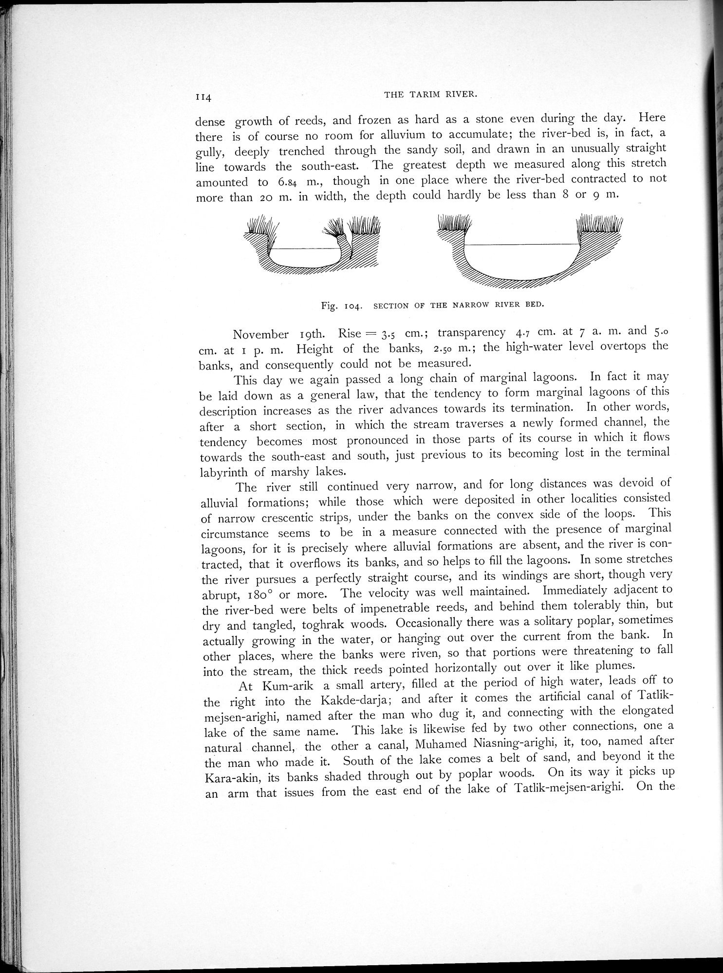
dense growth of reeds, and frozen as hard as a stone even during the day. Here there is of course no room for alluvium to accumulate; the river-bed is, in fact, a gully, deeply trenched through the sandy soil, and drawn in an unusually straight line towards the south-east. The greatest depth we measured along this stretch amounted to 6.84 m., though in one place where the river-bed contracted to not more than 20 m. in width, the depth could hardly be less than 8 or 9 m.
Fig. I04. SECTION OF THE NARROW RIVER BED.
November 19th. Rise = 3.5 cm.; transparency 4.7 cm. at 7 a. m. and 5.o cm. at 1 p. m. Height of the banks, 2.50 m.; the high-water level overtops the banks, and consequently could not be measured.
This day we again passed a long chain of marginal lagoons. In fact it may be laid down as a general law, that the tendency to form marginal lagoons of this description increases as the river advances towards its termination. In other words, after a short section, in which the stream traverses a newly formed channel, the tendency becomes most pronounced in those parts of its course in which it flows towards the south-east and south, just previous to its becoming lost in the terminal labyrinth of marshy lakes.
The river still continued very narrow, and for long distances was devoid of alluvial formations; while those which were deposited in other localities consisted of narrow crescentic strips, under the banks on the convex side of the loops. This circumstance seems to be in a measure connected with the presence of marginal lagoons, for it is precisely where alluvial formations are absent, and the river is contracted, that it overflows its banks, and so helps to fill the lagoons. In some stretches the river pursues a perfectly straight course, and its windings are short, though very abrupt, 180° or more. The velocity was well maintained. Immediately adjacent to the river-bed were belts of impenetrable reeds, and behind them tolerably thin, but dry and tangled, toghrak woods. Occasionally there was a solitary poplar, sometimes actually growing in the water, or hanging out over the current from the bank. In other places, where the banks were riven, so that portions were threatening to fall into the stream, the thick reeds pointed horizontally out over it like plumes.
At Kum-arik a small artery, filled at the period of high water, leads off to the right into the Kakde-darja; and after it comes the artificial canal of Tatlikmejsen-arighi, named after the man who dug it, and connecting with the elongated lake of the same name. This lake is likewise fed by two other connections, one a natural channel, the other a canal, Muhamed Niasning-arighi, it, too, named after the man who made it. South of the lake comes a belt of sand, and beyond it the Kara-akin, its banks shaded through out by poplar woods. On its way it picks up an arm that issues from the east end of the lake of Tatlik-mejsen-arighi. On the
|
Copyright (C) 2003-2019 National Institute of Informatics and The Toyo Bunko. All Rights Reserved.