National Institute of Informatics - Digital Silk Road Project
| |||||||||
|
| Scientific Results of a Journey in Central Asia, 1899-1902 : vol.1 |
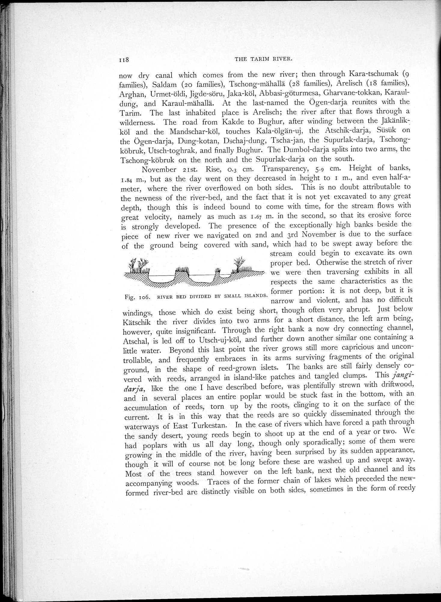 |
| RIVER BED DIVIDED BY SMALL ISLANDS. |
I t8 THE TARIM RIVER.
now dry canal which comes from the new river; then through Kara-tschumak (9 families), Saldam (20 families), Tschong-mähallä (2 8 families), Arelisch (18 families), Arghan, Urmet-öldi, Jigde-söru, Jaka-köl, Abbasi-göturmesa, Gharvane-tokkan, Karauldung, and Karaul-mähallä. At the last-named the Ögen-darja reunites with the Tarim. The last inhabited place is Arelisch; the river after that flows through a wilderness. The road from Kakde to Bughur, after winding between the Jäkänlikköl and the Mandschar-köl, touches Kala-ölgän-uj, the Atschik-darja, Süsük on the Ögen-darja, Dung-kotan, Dschaj-dung, Tscha jan, the Supurlak-darja, Tschongköbruk, Utsch-toghrak, and finally Bughur. The Dumbol-darja splits into two arms, the Tschong-köbruk on the north and the Supurlak-darja on the south.
November 21st. Rise, 0.3 cm. Transparency, 5.9 cm. Height of banks, 1.84 m., but as the day went on they decreased in height to 1 m., and even half-ameter, where the river overflowed on both sides. This is no doubt attributable to the newness of the river-bed, and the fact. that it is not yet excavated to any great depth, though this is indeed bound to come with time, for the stream flows with great velocity, namely as much as 1.67 m. in the second, so that its erosive force is strongly developed. The presence of the exceptionally high banks beside the piece of new river we navigated on 2nd and 3rd November is due to the surface of the ground being covered with sand, which had to be swept away before the
stream could begin to excavate its own proper bed. Otherwise the stretch of river we were then traversing exhibits in all respects the same characteristics as the
Fig. Io6. RIVER BED DIVIDED BY SMALL ISLANDS. former portion: it is not deep, but it is
narrow and violent, and has no difficult
windings, those which do exist being short, though often very abrupt. Just below Kätschik the river divides into two arms for a short distance, the left arm being, however, quite insignificant. Through the right bank a now dry connecting channel, Atschal, is led off to Utsch-uj-köl, and further down another similar one containing a little water. Beyond this last point the river grows still more capricious and uncontrollable, and frequently embraces in its arms surviving fragments of the original ground, in the shape of reed-grown islets. The banks are still fairly densely covered with reeds, arranged in island-like patches and tangled clumps. This jangidarja, like the one I have described before, was plentifully strewn with driftwood, and in several places an entire poplar would be stuck fast in the bottom, with an accumulation of reeds, torn up by the roots, clinging to it on the surface of the current. It is in this way that the reeds are so quickly disseminated through the waterways of East Turkestan. In the case of rivers which have forced a path through the sandy desert, young reeds begin to shoot up at the end of a year or two. We had poplars with us all day long, though only sporadically; some of them were growing in the middle of the river, having been surprised by its sudden appearance, though it will of course not be long before these are washed up and swept away. Most of the trees stand however on the left bank, next the old channel and its accompanying woods. Traces of the former chain of lakes which preceded the new-formed river-bed are distinctly visible on both sides, sometimes in the form of reedy
|
Copyright (C) 2003-2019 National Institute of Informatics and The Toyo Bunko. All Rights Reserved.