sheets of water directly connected with the river, sometimes of moist swampy ground or moist lake basins. The banks themselves were almost everywhere wet, an almost certain result of the summer overflows. The moment the river poured itself through the new »lake» channel, the hydrography of the locality became all at once changed. The shallow lakes were for the most part emptied, or else filled up and dammed back by the masses of sedimentary matter which the river carried with it. The direction of the stream was south-east all day long. A comparison of my accompanying map with the conception which geographers have hitherto had of the middle Tarim will show how immensely wide is the difference between the two. It is plain, that not only I myself, but also Carey and Dalgleish, mistook the Kitschik-ögen for the main river.
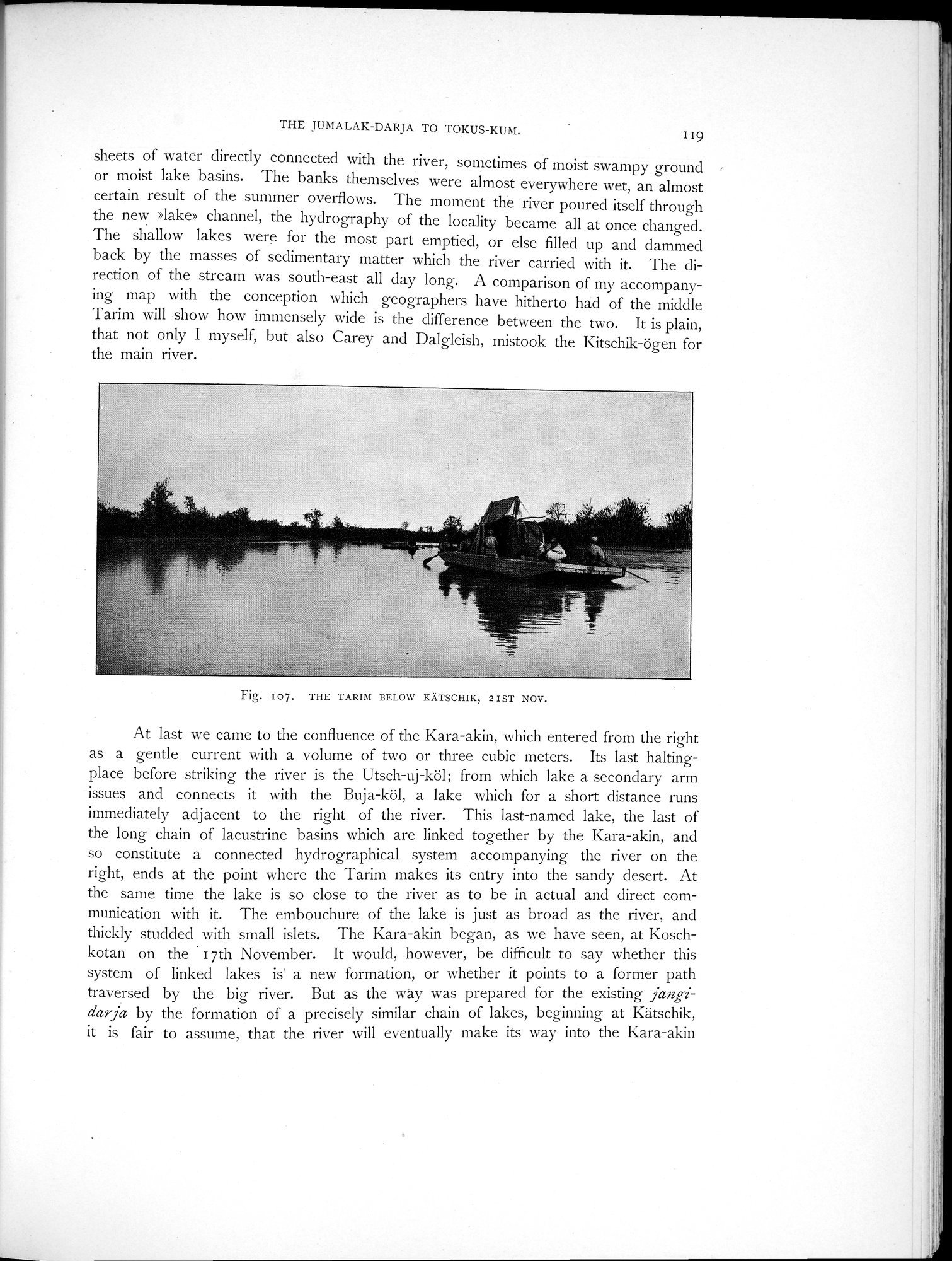
Fig. I07. THE TARIM BELOW KÄTSCHIK, 2IST NOV.
At last we came to the confluence of the Kara-akin, which entered from the right as a gentle current with a volume of two or three cubic meters. Its last halting-place before striking the river is the Utsch-uj-köl; from which lake a secondary arm issues and connects it with the Buja-köl, a lake which for a short distance runs immediately adjacent to the right of the river. This last-named lake, the last of the long chain of lacustrine basins which are linked together by the Kara-akin, and so constitute a connected hydrographical system accompanying the river on the right, ends at the point where the Tarim makes its entry into the sandy desert. At the same time the lake is so close to the river as to be in actual and direct communication with it. The embouchure of the lake is just as broad as the river, and thickly studded with small islets. The Kara-akin began, as we have seen, at Koschkotan on the • 17th November. It would, however, be difficult to say whether this system of linked lakes is a new formation, or whether it points to a former path traversed by the big river. But as the way was prepared for the existing jangidarja by the formation of a precisely similar chain of lakes, beginning at Kätschik, it is fair to assume, that the river will eventually make its way into the Kara-akin