National Institute of Informatics - Digital Silk Road Project
| |||||||||
|
| Scientific Results of a Journey in Central Asia, 1899-1902 : vol.1 |
 |
| THE SAME SECTION OF THE RIVER AT HIGH WATER. |
| THE JUMALAK-DARJA TO TOKUS-KUM. | I25 |
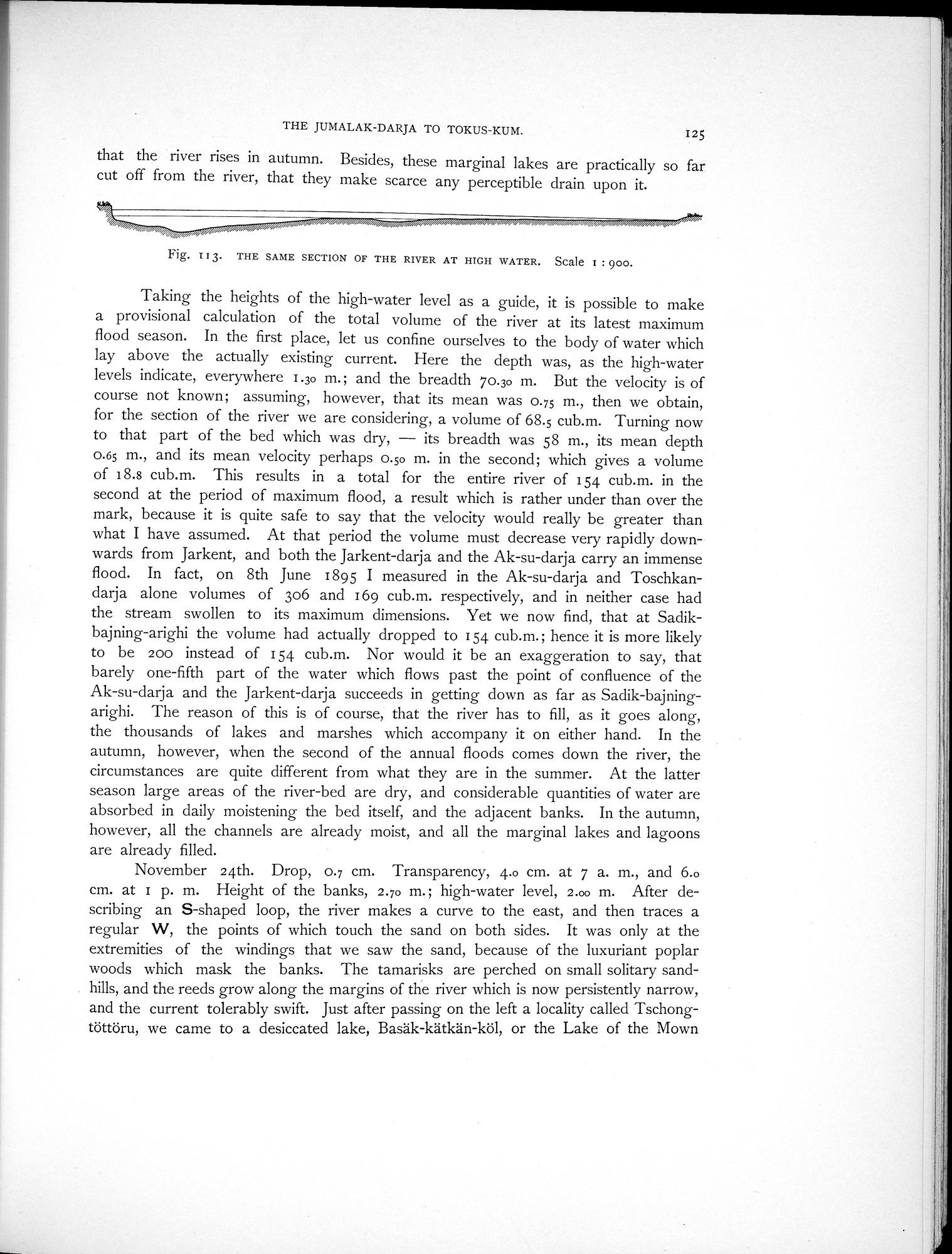
that the river rises in autumn. Besides, these marginal lakes are practically so far cut off from the river, that they make scarce any perceptible drain upon it.
Fig. i 1 3. TILE SAME SECTION OF THE RIVER AT HIGH WATER. Scale I : 900.
Taking the heights of the high-water level as a guide, it is possible to make a provisional calculation of the total volume of the river at its latest maximum flood season. In the first place, let us confine ourselves to the body of water which lay above the actually existing current. Here the depth was, as the high-water levels indicate, everywhere 1.30 m.; and the breadth 70.30 m. But the velocity is of course not known; assuming, however, that its mean was 0.75 m., then we obtain, for the section of the river we are considering, a volume of 68.5 cub.m. Turning now to that part of the bed which was dry, — its breadth was 58 m., its mean depth 0.65 m., and its mean velocity perhaps 0.50 m. in the second; which gives a volume of 18.8 cub.m. This results in a total for the entire river of 154 cub.m. in the second at the period of maximum flood, a result which is rather under than over the mark, because it is quite safe to say that the velocity would really be greater than Avhat I have assumed. At that period the volume must decrease very rapidly downwards from Jarkent, and both the Jarkent-darja and the Ak-su-darja carry an immense flood. In fact, on 8th June 1895 I measured in the Ak-su-darja and Toschkandarja alone volumes of 306 and 169 cub.m. respectively, and in neither case had the stream swollen to its maximum dimensions. Yet we now find, that at Sadikbajning-arighi the volume had actually dropped to 154 cub.m.; hence it is more likely to be 200 instead of 154 cub.m. Nor would it be an exaggeration to say, that barely one-fifth part of the water which flows past the point of confluence of the Ak-su-darja and the Jarkent-darja succeeds in getting down as far as Sadik-bajningarighi. The reason of this is of course, that the river has to fill, as it goes along, the thousands of lakes and marshes which accompany it on either hand. In the autumn, however, when the second of the annual floods comes down the river, the circumstances are quite different from what they are in the summer. At the latter season large areas of the river-bed are dry, and considerable quantities of water are absorbed in daily moistening the bed itself, and the adjacent banks. In the autumn, however, all the channels are already moist, and all the marginal lakes and lagoons are already filled.
November 24th. Drop, 0.7 cm. Transparency, 4.0 cm. at 7 a. m., and 6.0 cm. at 1 p. m. Height of the banks, 2.70 m. ; high-water level, 2.00 m. After describing an S-shaped loop, the river makes a curve to the east, and then traces a regular W, the points of which touch the sand on both sides. It was only at the extremities of the windings that we saw the sand, because of the luxuriant poplar woods which mask the banks. The tamarisks are perched on small solitary sand-hills, and the reeds grow along the margins of the river which is now persistently narrow, and the current tolerably swift. Just after passing on the left a locality called Tschongtöttöru, we came to a desiccated lake, Basäk-kätkän-köl, or the Lake of the Mown
|
Copyright (C) 2003-2019 National Institute of Informatics and The Toyo Bunko. All Rights Reserved.