National Institute of Informatics - Digital Silk Road Project
| |||||||||
|
| Scientific Results of a Journey in Central Asia, 1899-1902 : vol.1 |
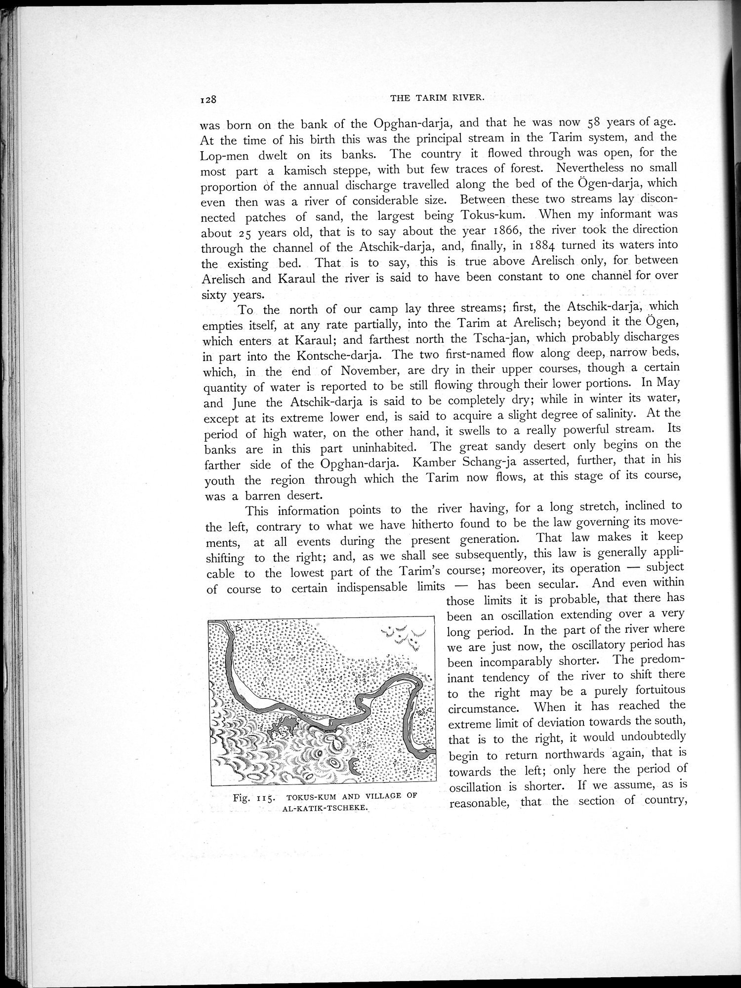 |
| TOKUS-KUM AND VILLAGE OF AL-KATIK-TSCHEKE. |
128 THE TARIM RIVER.
was born on the bank of the Opghan-darja, and that he was now 58 years of age. At the time of his birth this was the principal stream in the Tarim system, and the Lop-men dwelt on its banks. The country it flowed through was open, for the most part a kamisch steppe, with but few traces of forest. Nevertheless no small proportion of the annual discharge travelled along the bed of the Ögen-darja, which even then was a river of considerable size. Between these two streams lay disconnected patches of sand, the largest being Tokus-kum. When my informant was about 25 years old, that is to say about the year 1866, the river took the direction through the channel of the Atschik-darja, and, finally, in 1884 turned its waters into the existing bed. That is to say, this is true above Arelisch only, for between Arelisch and Karaul the river is said to have been constant to one channel for over sixty years.
To the north of our camp lay three streams; first, the Atschik-darja, which empties itself, at any rate partially, into the Tarim at Arelisch; beyond it the Ögen, which enters at Karaul; and farthest north the Tscha-jan, which probably discharges in part into the Kontsche-darja. The two first-named flow along deep, narrow beds. which, in the end of November, are dry in their upper courses, though a certain quantity of water is reported to be still flowing through their lower portions. In May and June the Atschik-darja is said to be completely dry; while in winter its water, except at its extreme lower end, is said to acquire a slight degree of salinity. At the period of high water, on the other hand, it swells to a really powerful stream. Its banks are in this part uninhabited. The great sandy desert only begins on the farther side of the Opghan-darja. Kamber Schang-ja asserted, further, that in his youth the region through which the Tarim now flows, at this stage of its course, was a barren desert.
This information points to the river having, for a long stretch, inclined to the left, contrary to what we have hitherto found to be the law governing its movements, at all events during the present generation. That law makes it keep shifting to the right; and, as we shall see subsequently, this law is generally applicable to the lowest part of the Tarim's course; moreover, its operation — subject of course to certain indispensable limits — has been secular. And even within
those limits it is probable, that there has been an oscillation extending over a very long period. In the part of the river where we are just now, the oscillatory period has been incomparably shorter. The predominant tendency of the river to shift there to the right may be a purely fortuitous circumstance. When it has reached the extreme limit of deviation towards the south, that is to the right, it would undoubtedly begin to return northwards again, that is towards the left; only here the period of oscillation is shorter. If we assume, as is reasonable, that the section of country,
Fig. I15. TOKUS-KUM AND VILLAGE OF
AL-KATIK-TSCH EKE.
|
Copyright (C) 2003-2019 National Institute of Informatics and The Toyo Bunko. All Rights Reserved.