National Institute of Informatics - Digital Silk Road Project
| |||||||||
|
| Scientific Results of a Journey in Central Asia, 1899-1902 : vol.1 |
 |
| Eroded bank |
FROM THE TOKUS-KUM TO KARAUL. 147
also, I dare say, to bottom ice rising to the surface and stirring up the mud. The banks were here 1.42 m. high and the high-flood level 0.94 m. The drop in these two data was due to the river having broadened out; in this respect it resembled the reaches below Lajlik. The banks were planted with forest. The river-bed contained extensive deposits of mud, separated by more or less considerable arms of the stream, the larger of these being open, as we indeed perceived some distance before we reached them from the movements of the white drift-ice, whereas the narrower arms were frozen over. The natives have observed, that the muddy water freezes more easily and earlier than the bright water, other conditions being of course equal. The river flowed unusually straight, especially during the second half of the day. The only living creatures we saw were ravens, though on the banks the tracks of antelopes, roe-deer, red-deer, hares, foxes, and wild-boar were reported. The sand retreated somewhat, and during the latter part of the stage was out of sight. At Kischlak-uj there is a loop abandoned by the river five years ago, and now containing a reed-grown lake, which was frozen. Then we came to two small fishing lakes, Karaunelik-köl and Kutuschtu-arighi; the latter, which is divided into two basins, derives its name from its owner. Farther on, on the same side of the river, is Jaka-köl surrounded, like the preceding, by sand-hills bearing poplars.
Towards the north-west it is now 3 or 4 km. to the Ugendarja. The zone of sand which hitherto has extended between the two rivers has gradually thinned out and now ceased, or at least dwindled away to a few scattered dunes, low in elevation and covered with vegetation. Apart from this, the belts of vegetation which accompany the two rivers are here continuous, forming a single forest. On the right lies the sandy district of Tataktik-kir, and on the left the forest tract of Kondak-alghutsch and the lake of Ilek-köl.
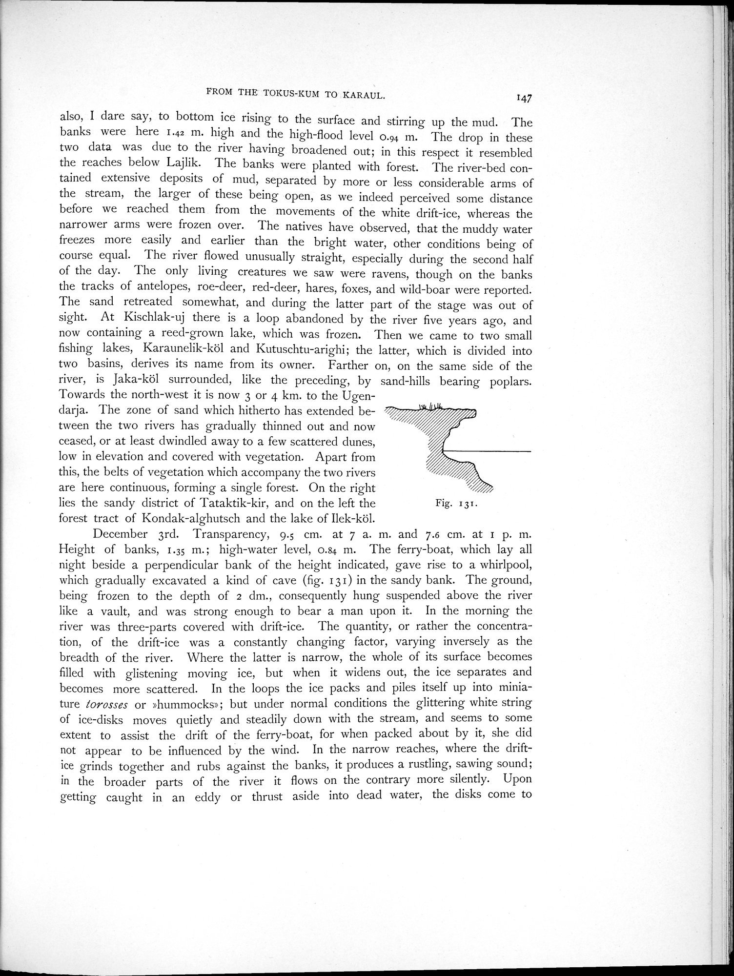
December 3rd. Transparency, 9.5 cm. at 7 a. m. and 7.6 cm. at 1 p. m. Height of banks, 1.35 m.; high-water level, 0.84 m. The ferry-boat, which lay all night beside a perpendicular bank of the height indicated, gave rise to a whirlpool, which gradually excavated a kind of cave (fig. 13 1) in the sandy bank. The ground, being frozen to the depth of 2 dm., consequently hung suspended above the river like a vault, and was strong enough to bear a man upon it. In the morning the river was three-parts covered with drift-ice. The quantity, or rather the concentration, of the drift-ice was a constantly changing factor, varying inversely as the breadth of the river. Where the latter is narrow, the whole of its surface becomes filled with glistening moving ice, but when it widens out, the ice separates and becomes more scattered. In the loops the ice packs and piles itself up into miniature torosses or »hummocks»; but under normal conditions the glittering white string of ice-disks moves quietly and steadily down with the stream, and seems to some extent to assist the drift of the ferry-boat, for when packed about by it, she did not appear to be influenced by the wind. In the narrow reaches, where the drift-ice grinds together and rubs against the banks, it produces a rustling, sawing sound; in the broader parts of the river it flows on the contrary more silently. Upon getting caught in an eddy or thrust aside into dead water, the disks come to
Fig. 131.
|
Copyright (C) 2003-2019 National Institute of Informatics and The Toyo Bunko. All Rights Reserved.