National Institute of Informatics - Digital Silk Road Project
| |||||||||
|
| Scientific Results of a Journey in Central Asia, 1899-1902 : vol.1 |
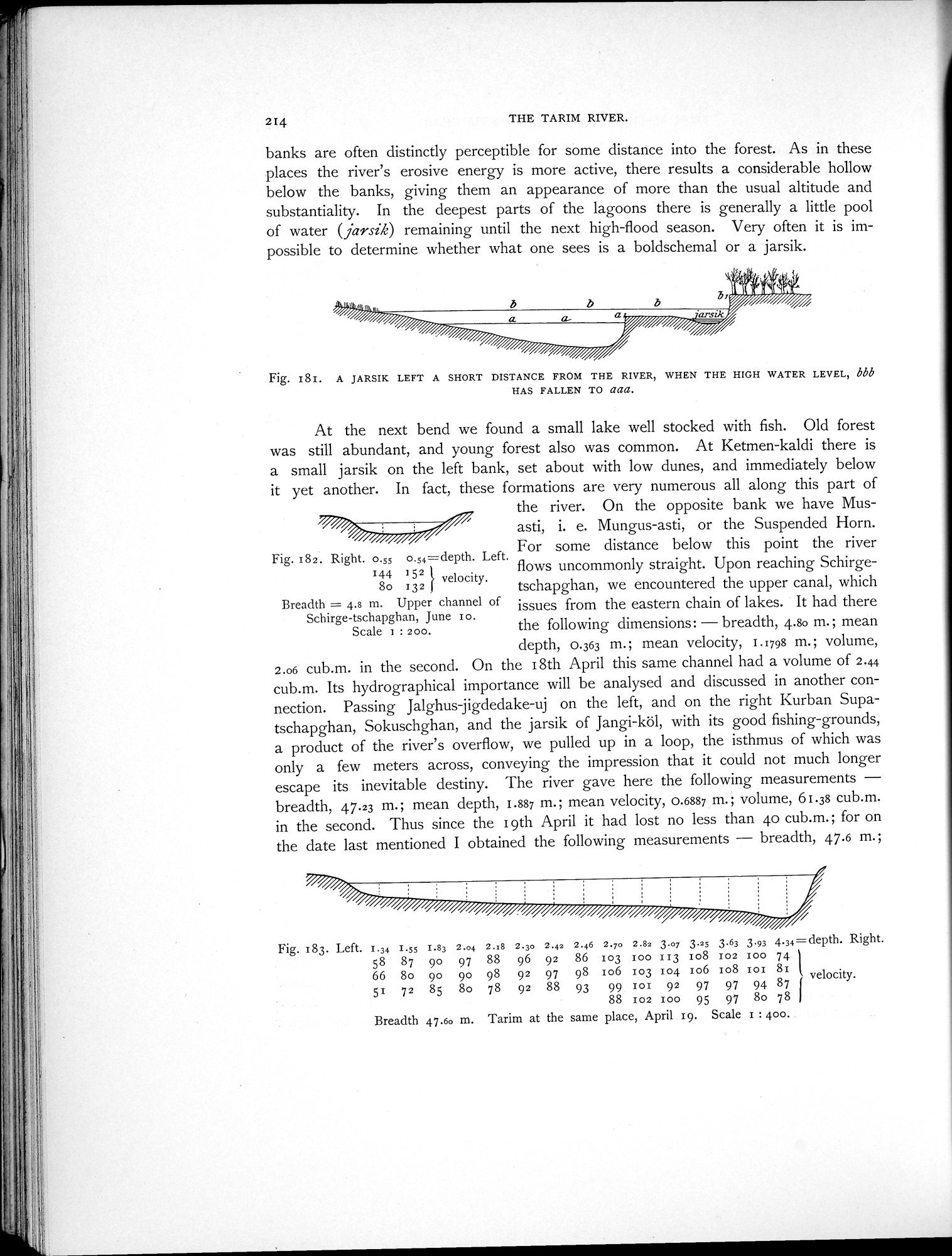 |
| A JARSIK LEFT A SHORT DISTANCE FROM THE RIVER, WHEN THE HIGH WATER LEVEL, bbb HAS FALLEN TO aaa. | |
| Upper channel of Schirge-tschapghan, June 10. | |
| Tarim at the same place, April 19. |
214
THE TARIM RIVER.
banks are often distinctly perceptible for some distance into the forest. As in these places the river's erosive energy is more active, there results a considerable hollow below the banks, giving them an appearance of more than the usual altitude and substantiality. In the deepest parts of the lagoons there is generally a little pool of water (jarsik) remaining until the next high-flood season. Very often it is impossible to determine whether what one sees is a boldschemal or a jarsik.
Fig. 181. A JARSIK LEFT A SHORT DISTANCE FROM THE RIVER, WHEN THE HIGH WATER LEVEL, bbb
HAS FALLEN TO aaa.
At the next bend we found a small lake well stocked with fish. Old forest was still abundant, and young forest also was common. At Ketmen-kaldi there is a small jarsik on the left bank, set about with low dunes, and immediately below it yet another. In fact, these formations are very numerous all along this part of
the river. On the opposite bank we have Mus-asti, i. e. Mungus-asti, or the Suspended Horn.
Fig. 182. Right. 0.55 o.S4=depth. Left. For some distance below this point the river
, 2 flows uncommonly straight. Upon reaching Schirge-
144
8o 132 velocity. tschapghan, we encountered the upper canal, which
Breadth = 4.s m. Upper channel of issues from the eastern chain of lakes. It had there Schirge-tschapghan, June Io.
Scale 1 : zoo. the following dimensions: — breadth, 4.80 m. ; mean
depth, 0.363 m.; mean velocity, 1.1798 m.; volume, 2.06 cub.m. in the second. On the 18th April this same channel had a volume of 2.44 cub.m. Its hydrographical importance will be analysed and discussed in another connection. Passing Jalghus-jigdedake-uj on the left, and on the right Kurban Supatschapghan, Sokuschghan, and the jarsik of Jangi-köl, with its good fishing-grounds, a product of the river's overflow, we pulled up in a loop, the isthmus of which was only a few meters across, conveying the impression that it could not much longer escape its inevitable destiny. The river gave here the following measurements — breadth, 47.23 m.; mean depth, 1.887 m.; mean velocity, 0.6887 m.; volume, 61.38 cub.m. in the second. Thus since the I 9th April it had lost no less than 4o cub.m.; for on the date last mentioned I obtained the following measurements — breadth, 47.6 m.;
Fig. 183. Left. 1.34 I.55 1.83 2.04 2.x8 2.3o 2.42 2.46 2.70 2.82 3.07 3.25 3.63 3.93 4.34=depth. Right. 58 87 90 97 88 96 92 86 103 zoo 113 108 102 I00 74 I
66 8o 90 90 98 92 97 98 106 103 104 106 108 Ioi 81 velocity.
5I 72 85 8o 78 92 88 93 99 IoI 92 97 97 94 87 l
88 102 100 95 97 8o 78 I
Breadth 47.6o m. Tarim at the same place, April 19. Scale 1 : 400.
|
Copyright (C) 2003-2019 National Institute of Informatics and The Toyo Bunko. All Rights Reserved.