National Institute of Informatics - Digital Silk Road Project
| |||||||||
|
| Scientific Results of a Journey in Central Asia, 1899-1902 : vol.1 |
 |
| THE TARIM AT TSCHIGELIK-UJ. | |
| Tarim at tschigelik-uj, June 12. |
FROM AJAGH-ARGHAN TO JURT-TSCHAPGHAN. 217
The latter name is pronounced Aru-akkan, and is said to indicate the bifurcation of a branch which has broken away from a larger river; indeed ara-akkan properly signifies »the middle river». Then on the right we observed Alim Niase Iliasi-dung and a jarghan-su, that is to say, a side-arm which bursts through the characteristic rampart at the side of the river at the time of high water; here too is another arik going off to water the pasture-grounds. The canals on the right of the river have to be kept dammed at the season of high flood, otherwise the water would overflow the high-road. Then come successively Achun-ilesi on the right; on the left Kultuk-tschapghan, an arik that has been dry for two years; on the right Baki Achun-tschapghan and Tschako-tschapghan; on the left the arik of Kök-tschol, supplying a pool and jajlaks (pasture-grounds). We encamped on the left bank
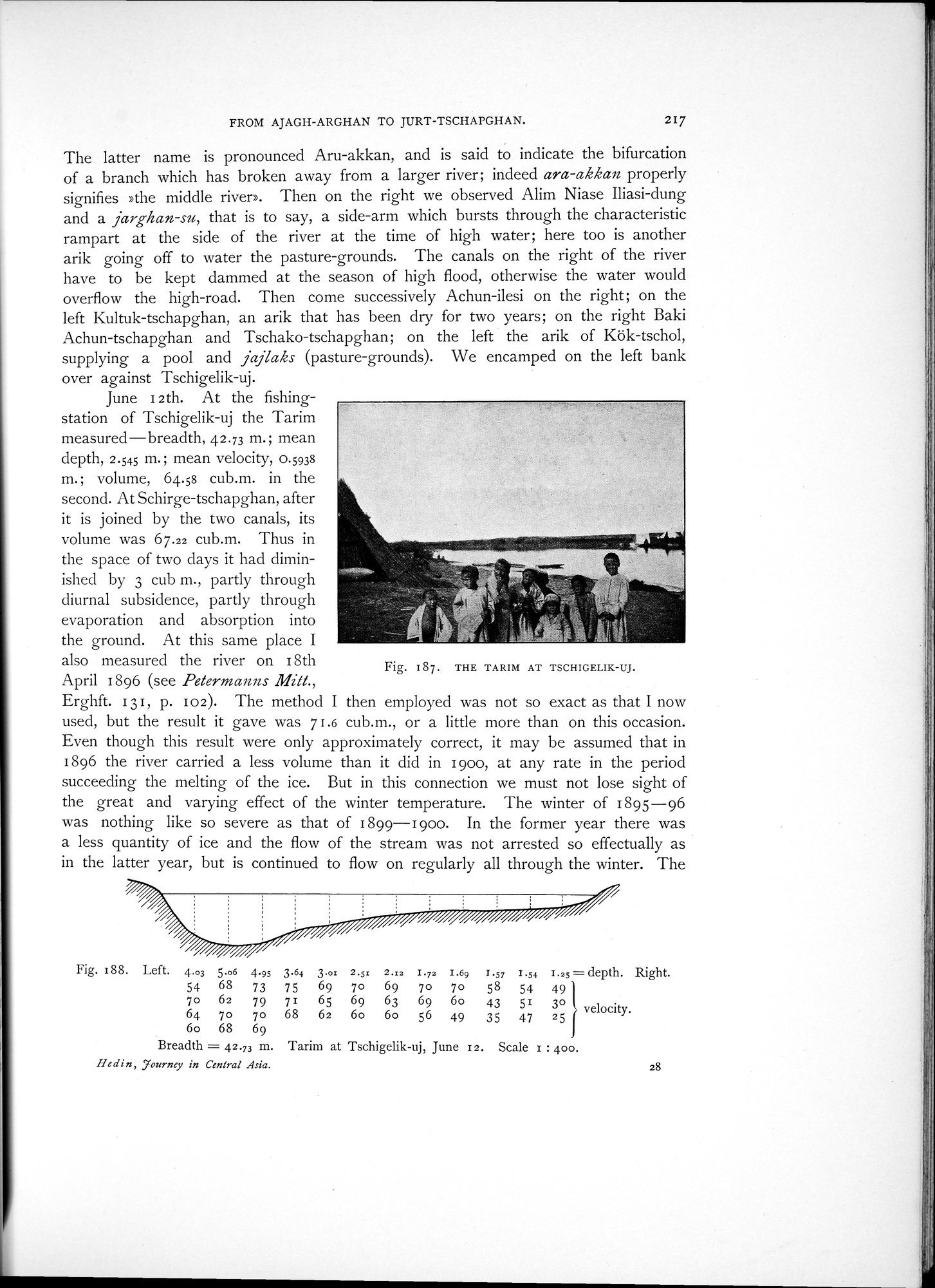
over against Tschigelik-uj.
June 12th. At the fishing-station of Tschigelik-uj the Tarim measured—breadth, 42.73 m.; mean depth, 2.545 m. ; mean velocity, 0.5938 m.; volume, 64.58 cub.m. in the second. At Schirge-tschapghan, after it is joined by the two canals, its volume was 67.22 cub.m. Thus in the space of two clays it had diminished by 3 cub m., partly through diurnal subsidence, partly through evaporation and absorption into the ground. At this same place I also measured the river on i8th April 1896 (see Petermanns Mitt.,
Erghft. 131, p. 102). The method I then employed was not so exact as that I now used, but the result it gave was 7 1.6 cub.m., or a little more than on this occasion. Even though this result were only approximately correct, it may be assumed that in 1896 the river carried a less volume than it did in 1900, at any rate in the period succeeding the melting of the ice. But in this connection we must not lose sight of the great and varying effect of the winter temperature. The winter of 1895-96 was nothing like so severe as that of 1899-19O0. In the former year there was a less quantity of ice and the flow of the stream was not arrested so effectually as in the latter year, but is continued to flow on regularly all through the winter. The
Fig. 188. I..eft. 4.03 5.06 4.95 3.64 3.01 2.5x 2.x2 1.72 I.69 r.57 1.54 1.25= depth. Right.
54 68 73 75 69 70 69 70 70 58 54 49
70 62 79 71 65 69 63 69 6o 43 51 30 velocity.
64 70 70 68 62 6o 6o 56 49 35 47 25 6o 68 69
Breadth = 42.73 m. Tarim at Tschigelik-uj, June 12. Scale z : 400.
Hedin, Tourney in Central Asia. 28
Fig. 187. THE TARIM AT TSCHIGELIK-UJ.
|
Copyright (C) 2003-2019 National Institute of Informatics and The Toyo Bunko. All Rights Reserved.