National Institute of Informatics - Digital Silk Road Project
| |||||||||
|
| Scientific Results of a Journey in Central Asia, 1899-1902 : vol.1 |
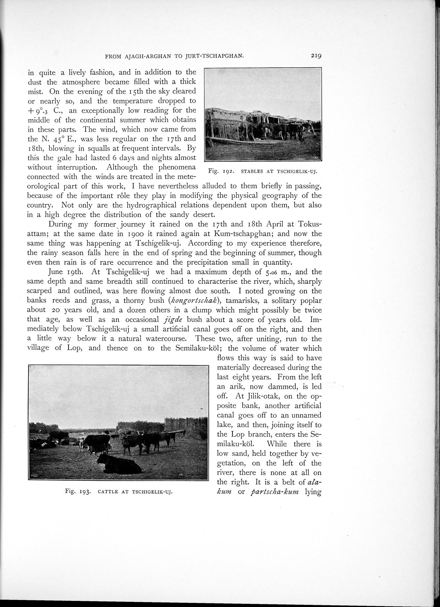 |
| STABLES AT TSCHIGELIK-UJ. | |
| CATTLE AT TSCHIGELIK-UJ. |
219
FROM AJAGH-ARGHAN TO JURT-TSCHAPGHAN.
in quite a lively fashion, and in addition to the dust the atmosphere became filled with a thick mist. On the evening of the i 5th the sky cleared or nearly so, and the temperature dropped to
-~
9°.3 C., an exceptionally low reading for the middle of the continental summer which obtains in these parts. The wind, which now came from the N. 45° E., was less regular on the i 7th and I 8th, blowing in squalls at frequent intervals. By this the gale had lasted 6 days and nights almost
without interruption. Although the phenomena Fig. 192. STABLES AT TSCHIGELIK-UJ.
connected with the winds are treated in the mete-
orological part of this work, I have nevertheless alluded to them briefly in passing, because of the important rôle they play in modifying the physical geography of the country. Not only are the hydrographical relations dependent upon them, but also in a high degree the distribution of the sandy desert.
During my former, journey it rained on the 17th and i 8th April at Tokusattam; at the same date in i goo it rained again at Kum-tschapghan; and now the same thing was happening at Tschigelik-uj. According to my experience therefore, the rainy season falls here in the end of spring and the beginning of summer, though even then rain is of rare occurrence and the precipitation small in quantity.
June i gth. At Tschigelik-uj we had a maximum depth of 5.06 m., and the same depth and same breadth still continued to characterise the river, which, sharply scarped and outlined, was here flowing almost due south. I noted growing on the banks reeds and grass, a thorny bush (kongortschak), tamarisks, a solitary poplar about 20 years old, and a dozen others in a clump which might possibly be twice that age, as well as an occasional jigde bush about a score of years old. Immediately below Tschigelik-uj a small artificial canal goes off on the right, and then a little way below it a natural watercourse. These two, after uniting, run to the village of Lop, and thence on to the Semilaku-köl; the volume of water which
flows this way is said to have materially decreased during the last eight years. From the left an arik, now dammed, is led off. At Jilik-otak, on the opposite bank, another artificial canal goes off to an unnamed lake, and then, joining itself to the Lop branch, enters the Se-
milaku-köl. While there is
low sand, held together by vegetation, on the left of the river, there is none at all on the right. It is a belt of alakurn or j5artscha-kung lying
Fig. 193. CATTLE AT TSCHIGELIK-UJ.
|
Copyright (C) 2003-2019 National Institute of Informatics and The Toyo Bunko. All Rights Reserved.