National Institute of Informatics - Digital Silk Road Project
| |||||||||
|
| Scientific Results of a Journey in Central Asia, 1899-1902 : vol.1 |
 |
| CURLED UP ICE ON THE SOUTH SHORE OF JANGI-KÖL. | |
| VERTICAL SECTION OF JANGI-KÖL. |
RELATIONS BETWEEN MARGINAL LAKES AND DUNES. 237
gently by steps or terraces, like those on the corresponding side of the Basch-köl. This latter, notwithstanding that it has been dry longer than the Jangi-köl, and that its water is now salt, possesses a richer vegetation than its neighbour.
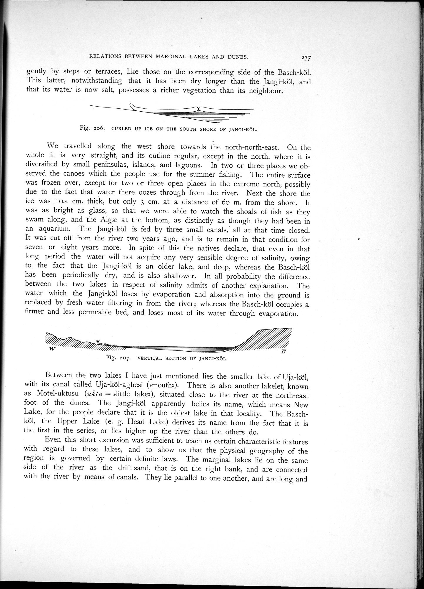
Fig. 206. CURLED UP ICE ON THE SOUTH SHORE OF JANGI-KÖL.
We travelled along the west shore towards the north-north-east. On the whole it is very straight, and its outline regular, except in the north, where it is diversified by small peninsulas, islands, and lagoons. In two or three places we observed the canoes which the people use for the summer fishing. The entire surface was frozen over, except for two or three open places in the extreme north, possibly due to the fact that water there oozes through from the river. Next the shore the ice was I 0.2 cm. thick, but only 3 cm. at a distance of 6o m. from the shore. It was as bright as glass, so that we were able to watch the shoals of fish as they swam along, and the Alge at the bottom, as distinctly as though they had been in an aquarium. The Jangi-köl is fed by three small canals,' all at that time closed. It was cut off from the river two years ago, and is to remain in that condition for seven or eight years more. In spite of this the natives declare, that even in that long period the water will not acquire any very sensible degree of salinity, owing to the fact that the Jangi-köl is an older lake, and deep, whereas the Basch-köl has been periodically dry, and is also shallower. In all probability the difference between the two lakes in respect of salinity admits of another explanation. The water which the Jangi-köl loses by evaporation and absorption into the ground is replaced by fresh water filtering in from the river; whereas the Basch-köl occupies a firmer and less permeable bed, and loses most of its water through evaporation.
Fig. 207. VERTICAL SECTION OF JANGI-KÖL.
Between the two lakes I have just mentioned lies the smaller lake of Uja-köl, with its canal called Uja-köl-aghesi (»mouth»). There is also another lakelet, known
as ]Motel-uktusu (uk/u »little lake»), situated close to the river at the north-east
foot of the dunes. The Jangi-köl apparently belies its name, which means New Lake, for the people declare that it is the oldest lake in that locality. The Baschköl, the Upper Lake (e. g. Head Lake) derives its name from the fact that it is the first in the series, or lies higher up the river than the others do.
Even this short excursion was sufficient to teach us certain characteristic features with regard to these lakes, and to show us that the physical geography of the region is governed by certain definite laws. The marginal lakes lie on the same side of the river as the drift-sand, that is on the right bank, and are connected with the river by means of canals. They lie parallel to one another, and are long and
|
Copyright (C) 2003-2019 National Institute of Informatics and The Toyo Bunko. All Rights Reserved.