National Institute of Informatics - Digital Silk Road Project
| |||||||||
|
| Scientific Results of a Journey in Central Asia, 1899-1902 : vol.1 |
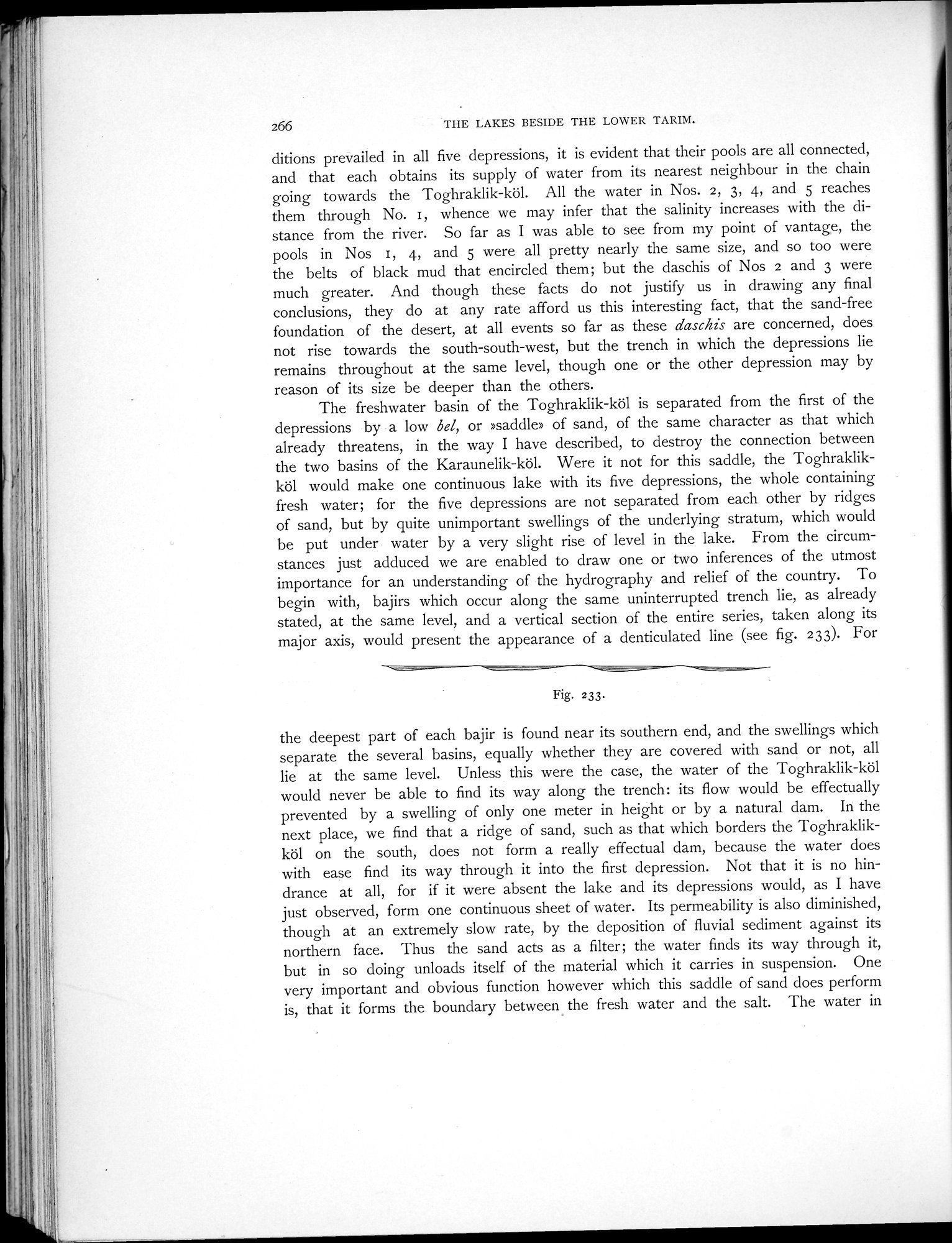 |
| Vertical section along the major axis of a series of lakes. |
266 THE LAKES BESIDE THE LOWER TARIM.
ditions prevailed in all five depressions, it is evident that their pools are all connected, and that each obtains its supply of water from its nearest neighbour in the chain going towards the Toghraklik-köl. All the water in Nos. 2, 3, 4, and 5 reaches them through No. I, whence we may infer that the salinity increases with the distance from the river. So far as I was able to see from my point of vantage, the pools in Nos I, 4, and 5 were all pretty nearly the same size, and so too were the belts of black mud that encircled them; but the daschis of Nos 2 and 3 were much greater. And though these facts do not justify us in drawing any final conclusions, they do at any rate afford us this interesting fact, that the sand-free foundation of the desert, at all events so far as these daschis are concerned, does not rise towards the south-south-west, but the trench in which the depressions lie remains throughout at the same level, though one or the other depression may by reason of its size be deeper than the others.
The freshwater basin of the Toghraklik-köl is separated from the first of the depressions by a low bel, or »saddle» of sand, of the same character as that which already threatens, in the way I have described, to destroy the connection between the two basins of the Karaunelik-köl. Were it not for this saddle, the Toghraklikköl would make one continuous lake with its five depressions, the whole containing fresh water; for the five depressions are not separated from each other by ridges of sand, but by quite unimportant swellings of the underlying stratum, which would be put under water by a very slight rise of level in the lake. From the circumstances just adduced we are enabled to draw one or two inferences of the utmost importance for an understanding of the hydrography and relief of the country. To begin with, bajirs which occur along the same uninterrupted trench lie, as already stated, at the sanie level, and a vertical section of the entire series, taken along its major axis, would present the appearance of a denticulated line (see fig. 233). For
Fig. 233•
the deepest part of each bajir is found near its southern end, and the swellings which separate the several basins, equally whether they are covered with sand or not, all lie at the same level. Unless this were the case, the water of the Toghraklik-köl would never be able to find its way along the trench: its flow would be effectually prevented by a swelling of only one meter in height or by a natural dam. In the next place, we find that a ridge of sand, such as that which borders the Toghraklikköl on the south, does not form a really effectual dam, because the water does with ease find its way through it into the first depression. Not that it is no hindrance at all, for if it were absent the lake and its depressions would, as I have just observed, form one continuous sheet of water. Its permeability is also diminished, though at an extremely slow rate, by the deposition of fluvial sediment against its northern face. Thus the sand acts as a filter; the water finds its way through it, but in so doing unloads itself of the material which it carries in suspension. One very important and obvious function however which this saddle of sand does perform is, that it forms the boundary between the fresh water and the salt. The \eater in
|
Copyright (C) 2003-2019 National Institute of Informatics and The Toyo Bunko. All Rights Reserved.