National Institute of Informatics - Digital Silk Road Project
| |||||||||
|
| Scientific Results of a Journey in Central Asia, 1899-1902 : vol.1 |
 |
| The same. |
THE TOGHRAKLIK-KÖL AND THE KARAUNELIK-KÖL. 275
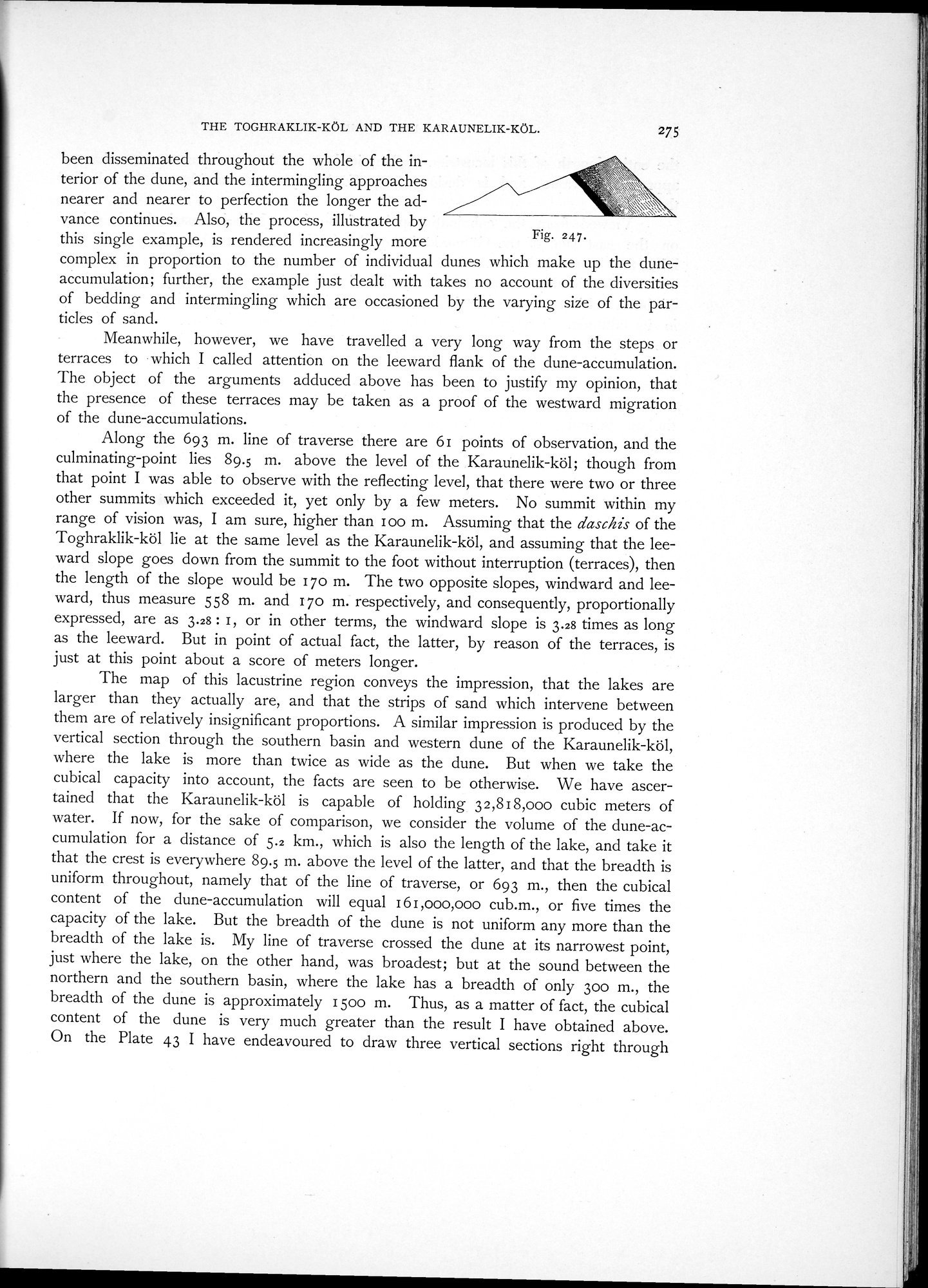
been disseminated throughout the whole of the interior of the dune, and the intermingling approaches
nearer and nearer to perfection the longer the advance continues. Also, the process, illustrated by
this single example, is rendered increasingly more Fig 247•
complex in proportion to the number of individual dunes which make up the dune-accumulation; further, the example just dealt with takes no account of the diversities of bedding and intermingling which are occasioned by the varying size of the particles of sand.
Meanwhile, however, we have travelled a very long way from the steps or terraces to which I called attention on the leeward flank of the dune-accumulation. The object of the arguments adduced above has been to justify my opinion, that the presence of these terraces may be taken as a proof of the westward migration of the dune-accumulations.
Along the 693 m. line of traverse there are 61 points of observation, and the culminating-point lies 89.5 m. above the level of the Karaunelik-köl; though from that point I was able to observe with the reflecting level, that there were two or three other summits which exceeded it, yet only by a few meters. No summit within my range of vision was, I am sure, higher than loo m. Assuming that the daschis of the Toghraklik-köl lie at the same level as the Karaunelik-köl, and assuming that the leeward slope goes down from the summit to the foot without interruption (terraces), then the length of the slope would be 170 m. The two opposite slopes, windward and leeward, thus measure 558 m. and 170 m. respectively, and consequently, proportionally expressed, are as 3.28 : I, or in other terms, the windward slope is 3.28 times as long as the leeward. But in point of actual fact, the latter, by reason of the terraces, is just at this point about a score of meters longer.
The map of this lacustrine region conveys the impression, that the lakes are larger than they actually are, and that the strips of sand which intervene between them are of relatively insignificant proportions. A similar impression is produced by the vertical section through the southern basin and western dune of the Karaunelik-köl, where the lake is more than twice as wide as the dune. But when we take the cubical capacity into account, the facts are seen to be otherwise. We have ascertained that the Karaunelik-köl is capable of holding 32,818,000 cubic meters of water. If now, for the sake of comparison, we consider the volume of the dune-accumulation for a distance of 5.2 km., which is also the length of the lake, and take it that the crest is everywhere 89.5 m. above the level of the latter, and that the breadth is uniform throughout, namely that of the line of traverse, or 693 m., then the cubical content of the dune-accumulation will equal 161,000,000 cub.m., or five times the capacity of the lake. But the breadth of the dune is not uniform any more than the breadth of the lake is. My line of traverse crossed the dune at its narrowest point, just where the lake, on the other hand, was broadest; but at the sound between the northern and the southern basin, where the lake has a breadth of only 300 m., the breadth of the dune is approximately 1500 m. Thus, as a matter of fact, the cubical content of the dune is very much greater than the result I have obtained above. On the Plate 43 I have endeavoured to draw three vertical sections right through
|
Copyright (C) 2003-2019 National Institute of Informatics and The Toyo Bunko. All Rights Reserved.