National Institute of Informatics - Digital Silk Road Project
| |||||||||
|
| Scientific Results of a Journey in Central Asia, 1899-1902 : vol.1 |
 |
| Vertical section of dune-accumulation and river. | |
| Vertical section of Tarim-basin. |
GENERAL CONCLUSIONS REGARDING THE LAKES. 303
tend to accumulate in the central parts of the basin, as indeed is the rule in every internal drainage-basin wherever it exists. When we see the Chotan-darja and the Kerija-darja both moving to the right, i. e. towards the centre of the basin where the pressure of the sand is greatest, and when we see that the arc described by the bed of the Tarim tends, as it were in a series of concentric circles, to flit in the same direction, and that the lower part of its course, which formerly terminated in the Lop-nor, has subsequently made a gigantic bend towards the right, that is towards the centre of pressure of the sand, one is tempted to conclude, that the surface is depressed by the weight of the superincumbent sand, and that according as the surface sinks so does the river gravitate towards its centre (Pl. 52).
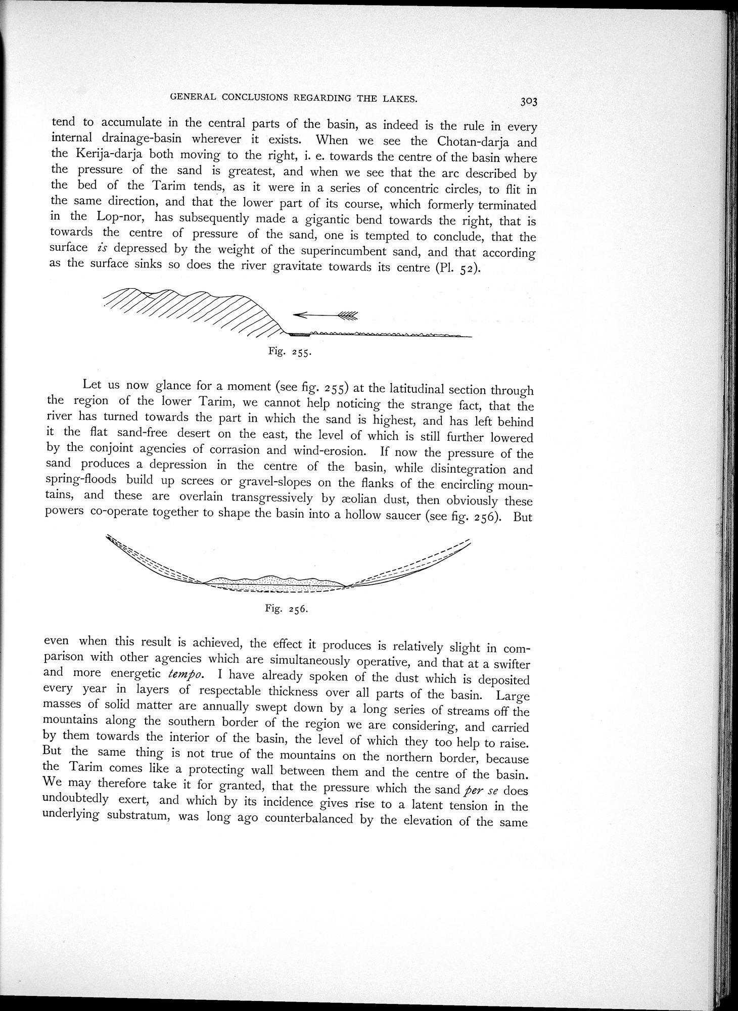
Let us now glance for a moment (see fig. 255) at the latitudinal section through the region of the lower Tarim, we cannot help noticing the strange fact, that the river has turned towards the part in which the sand is highest, and has left behind it the flat sand-free desert on the east, the level of which is still further lowered by the conjoint agencies of corrasion and wind-erosion. If now the pressure of the sand produces a depression in the centre of the basin, while disintegration and spring-floods build up screes or gravel-slopes on the flanks of the encircling mountains, and these are overlain transgressively by xolian dust, then obviously these powers co-operate together to shape the basin into a hollow saucer (see fig. 256). But
even when this result is achieved, the effect it produces is relatively slight in comparison with other agencies which are simultaneously operative, and that at a swifter and more energetic tern». I have already spoken of the dust which is deposited every year in layers of respectable thickness over all parts of the basin. Large masses of solid matter are annually swept down by a long series of streams off the mountains along the southern border of the region we are considering, and carried by them towards the interior of the basin, the level of which they too help to raise. But the same thing is not true of the mountains on the northern border, because the Tarim comes like a protecting wall between them and the centre of the basin. We may therefore take it for granted, that the pressure which the sand per se does undoubtedly exert, and which by its incidence gives rise to a latent tension in the underlying substratum, was long ago counterbalanced by the elevation of the same
Fig. 255.
Fig. 256.
|
Copyright (C) 2003-2019 National Institute of Informatics and The Toyo Bunko. All Rights Reserved.