National Institute of Informatics - Digital Silk Road Project
| |||||||||
|
| Scientific Results of a Journey in Central Asia, 1899-1902 : vol.1 |
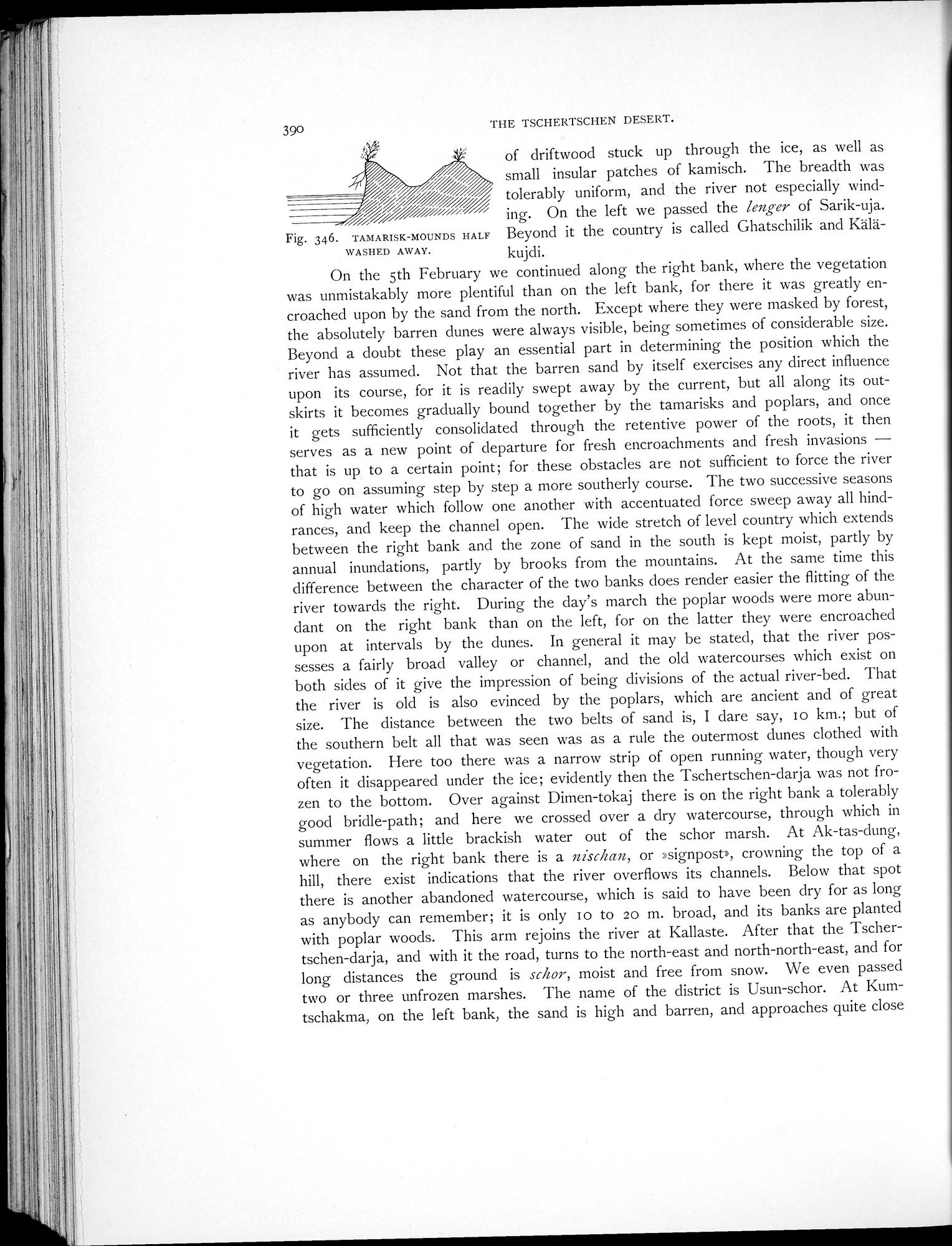 |
| TAMARISK-MOUNDS HALF WASHED AWAY. |
390 THE TSCHERTSCI-IEN DESERT.
of driftwood stuck up through the ice, as well as small insular patches of kamisch. The breadth was
tolerably uniform, and the river not especially wind-
" ing. On the left we passed the lenger of Sarik-uja.
Fig. 346. TAMARISK-MOUNDS HALF Beyond it the country is called Ghatschilik and Kälä-
WASHED AWAY. kujdi.
On the 5th February we continued along the right bank, where the vegetation was unmistakably more plentiful than on the left bank, for there it was greatly encroached upon by the sand from the north. Except where they were masked by forest, the absolutely barren dunes were always visible, being sometimes of considerable size. Beyond a doubt these play an essential part in determining the position which the river has assumed. Not that the barren sand by itself exercises any direct influence upon its course, for it is readily swept away by the current, but all along its outskirts it becomes gradually bound together by the tamarisks and poplars, and once it gets sufficiently consolidated through the retentive power of the roots, it then serves as a new point of departure for fresh encroachments and fresh invasions — that is up to a certain point; for these obstacles are not sufficient to force the river to go on assuming step by step a more southerly course. The two successive seasons of high water which follow one another with accentuated force sweep away all hindrances, and keep the channel open. The wide stretch of level country which extends between the right bank and the zone of sand in the south is kept moist, partly by annual inundations, partly by brooks from the mountains. At the same time this difference between the character of the two banks does render easier the flitting of the river towards the right. During the day's march the poplar woods were more abundant on the right bank than on the left, for on the latter they were encroached upon at intervals by the dunes. In general it may be stated, that the river possesses a fairly broad valley or channel, and the old watercourses which exist on both sides of it give the impression of being divisions of the actual river-bed. That the river is old is also evinced by the poplars, which are ancient and of great size. The distance between the two belts of sand is, I dare say, Io km.; but of the southern belt all that was seen was as a rule the outermost dunes clothed with vegetation. Here too there was a narrow strip of open running water, though very often it disappeared under the ice; evidently then the Tschertschen-darja was not frozen to the bottom. Over against Dimen-tokaj there is on the right bank a tolerably good bridle-path; and here we crossed over a dry watercourse, through which in summer flows a little brackish water out of the schor marsh. At Ak-tas-dung, where on the right bank there is a nischan, or »signpost», crowning the top of a hill, there exist indications that the river overflows its channels. Below that spot there is another abandoned watercourse, which is said to have been dry for as long as anybody can remember; it is only I o to 20 m. broad, and its banks are planted with poplar woods. This arm rejoins the river at Kallaste. After that the Tschertschen-darja, and with it the road, turns to the north-east and north-north-east, and for long distances the ground is schor, moist and free from snow. We even passed two or three unfrozen marshes. The name of the district is Usun-schor. At Kumtschakma, on the left bank, the sand is high and barren, and approaches quite close
|
Copyright (C) 2003-2019 National Institute of Informatics and The Toyo Bunko. All Rights Reserved.