National Institute of Informatics - Digital Silk Road Project
| |||||||||
|
| Scientific Results of a Journey in Central Asia, 1899-1902 : vol.1 |
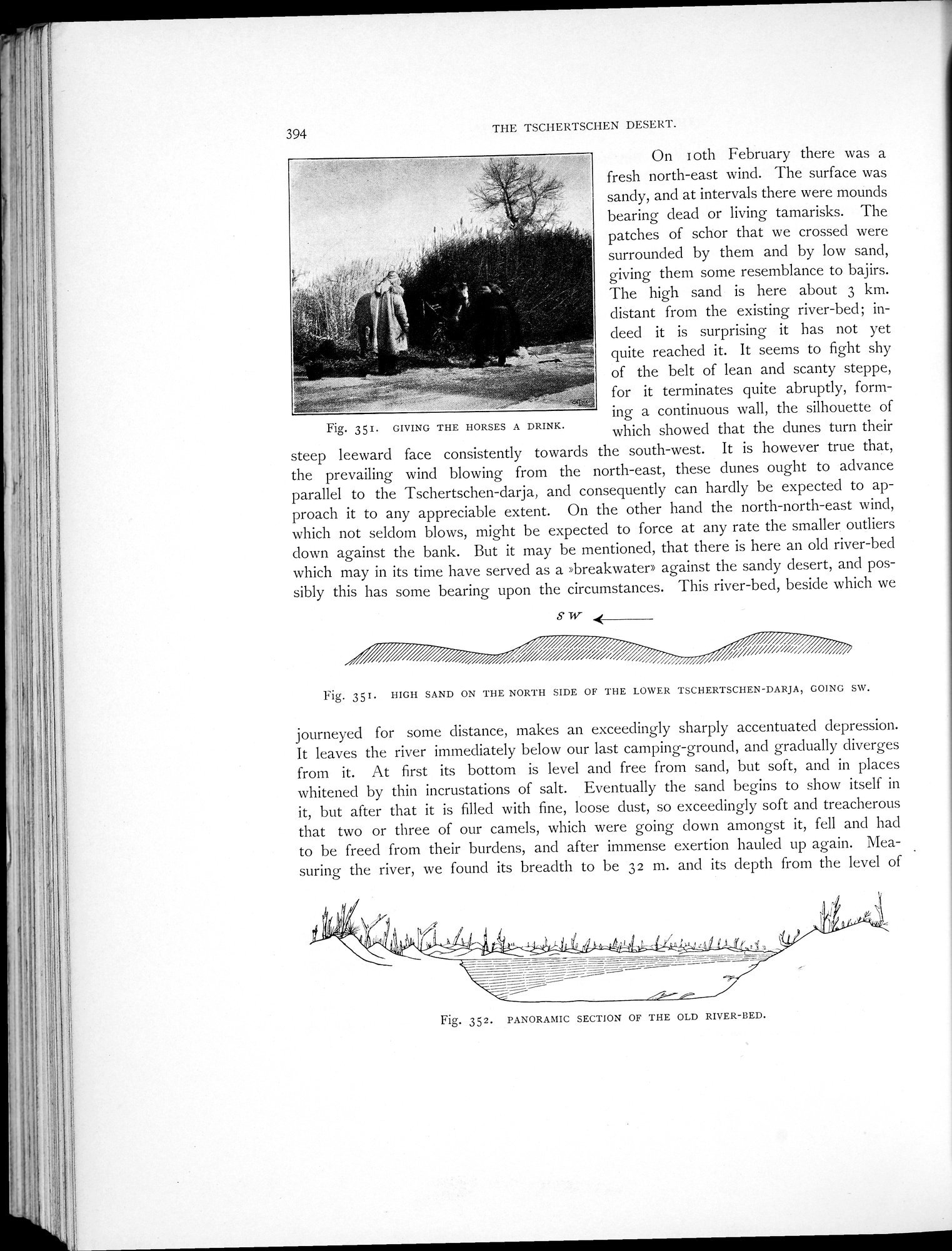 |
| GIVING THE HORSES A DRINK. | |
| HIGH SAND ON THE NORTH SIDE OF THE LOWER TSCHERTSCHEN-DARJA, GOING SW. | |
| PANORAMIC SECTION OF THE OLD RIVER-BED. |
394
THE TSCHERTSCHEN DESERT.
On Loth February there was a fresh north-east wind. "I'he surface was sandy, and at intervals there were mounds bearing dead or living tamarisks. The patches of schor that we crossed were surrounded by them and by low sand, giving them some resemblance to bajirs. The high sand is here about 3 km. distant from the existing river-bed; indeed it is surprising it has not yet
quite reached it. It seems to fight shy of the belt of lean and scanty steppe,
rx for it terminates quite abruptly, form-
ing a continuous wall, the silhouette of
Fig. 351. GIVING THE HORSES A DRINK. which showed that the dunes turn their
steep leeward face consistently towards the south-west. It is however true that, the prevailing wind blowing from the north-east, these dunes ought to advance parallel to the Tschertschen-darja, and consequently can hardly be expected to approach it to any appreciable extent. On the other hand the north-north-east wind, which not seldom blows, might be expected to force at any rate the smaller outliers down against the bank. But it may be mentioned, that there is here an old river-bed which may in its time have served as a »breakwater» against the sandy desert, and possibly this has some bearing upon the circumstances. This river-bed, beside which we
S W
Fig. 351. HIGH SAND ON THE NORTH SIDE OF THE LOWER TSCHERTSCHEN-DARJA, GOING SW.
journeyed for some distance, makes an exceedingly sharply accentuated depression. It leaves the river immediately below our last camping-ground, and gradually diverges from it. At first its bottom is level and free from sand, but soft, and in places whitened by thin incrustations of salt. Eventually the sand begins to show itself in it, but after that it is filled with fine, loose dust, so exceedingly soft and treacherous that two or three of our camels, which were going down amongst it, fell and had to be freed from their burdens, and after immense exertion hauled up again. Measuring the river, we found its breadth to be 32 m. and its depth from the level of
Fig. 352. PANORAMIC SECTION OF THE OLD RIVER-LIED.
|
Copyright (C) 2003-2019 National Institute of Informatics and The Toyo Bunko. All Rights Reserved.