National Institute of Informatics - Digital Silk Road Project
| |||||||||
|
| Scientific Results of a Journey in Central Asia, 1899-1902 : vol.1 |
 |
| THE SATMA OF ARALTSCHI. | |
| ARALTSCHI. |
396 THE TSCHERTSCHEN DESERT.
ground. About midway in the day's journey the river contracted for a short distance to a width of not more than 3o m., so that it resembled a canal, with dense beds of reeds on both banks and tamarisk-mounds standing often on the actual water-line, especially towards the right bank. Here the ice-sheet was thick and firm, though it had many holes in it, which the shepherds had hewn to get water for their flocks. In other parts however the river-bed was only half frozen across, and
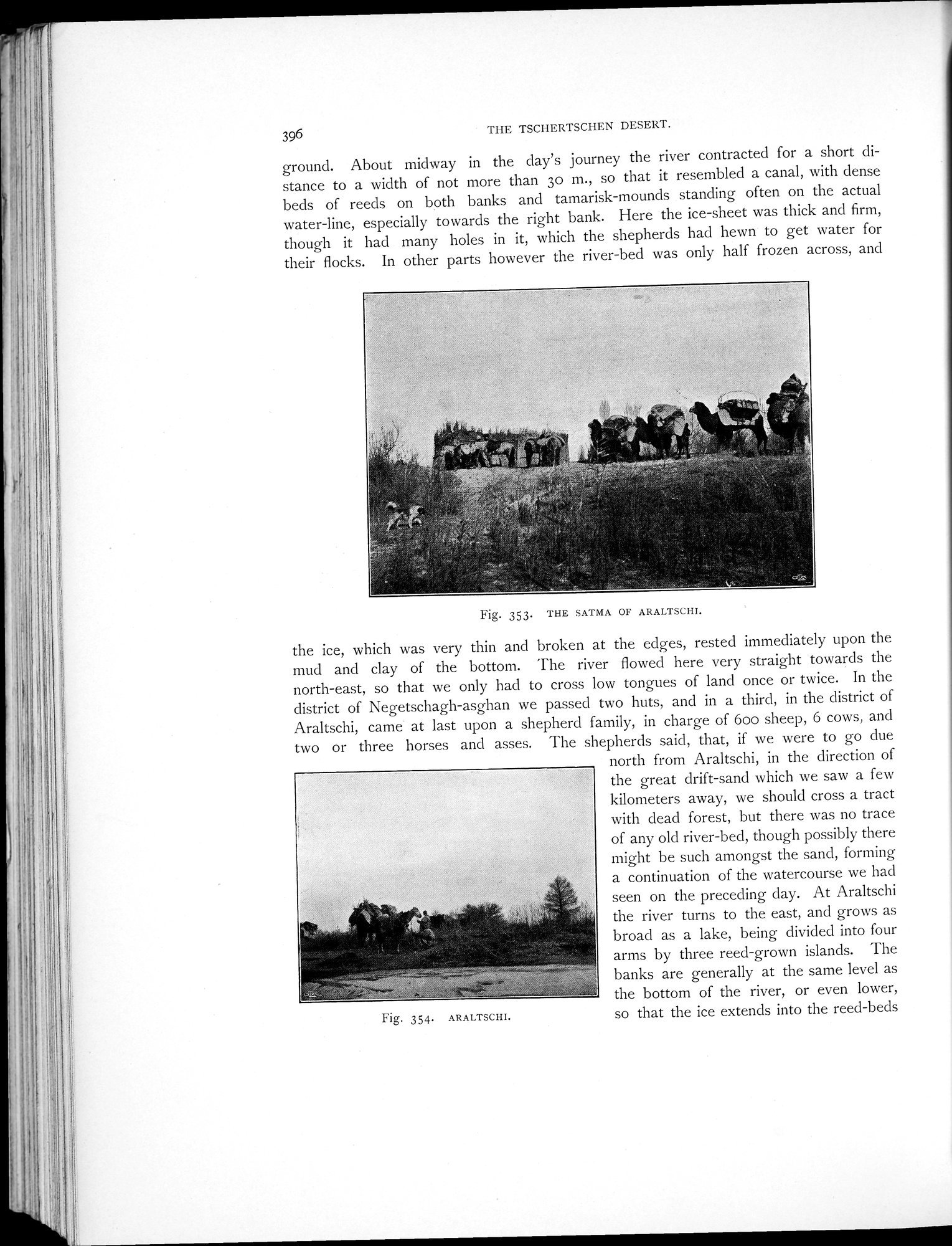
Fig. 353. THE SATMA OF ARALTSCHI.
the ice, which was very thin and broken at the edges, rested immediately upon the mud and clay of the bottom. The river flowed here very straight towards the north-east, so that we only had to cross low tongues of land once or twice. In the district of Negetschagh-asghan we passed two huts, and in a third, in the district of Araltschi, came at last upon a shepherd family, in charge of boo sheep, 6 cows, and two or three horses and asses. The shepherds said, that, if we were to go due
north from Araltschi, in the direction of the great drift-sand which we saw a few kilometers away, we should cross a tract with dead forest, but there was no trace of any old river-bed, though possibly there might be such amongst the sand, forming a continuation of the watercourse we had seen on the preceding day. At Araltschi the river turns to the east, and grows as broad as a lake, being divided into four arms by three reed-grown islands. The banks are generally at the same level as the bottom of the river, or even lower, so that the ice extends into the reed-beds
354. ARALTSCHI.
|
Copyright (C) 2003-2019 National Institute of Informatics and The Toyo Bunko. All Rights Reserved.