National Institute of Informatics - Digital Silk Road Project
| |||||||||
|
| Scientific Results of a Journey in Central Asia, 1899-1902 : vol.1 |
 |
| THE TAGH-KUM. |
406 THE TSCHERTSCHEN DESERT.
not however occur anywhere, and the reasons of this are twofold, first the comparatively recent desertion of the river-bed, and secondly the ground-water still existing at an inconsiderable depth. Beside the eastern Ilek, the Schirge-tschapghan arm, and the Ettek-tarim, there grow magnificent woods; but beside the lower Tarim, which winds backwards and forwards between these branches, forest is on the contrary altogether absent. And what is the reason of this? A quite simple one, namely the lower Tarim is so new that there has not yet been time for any forest to grow up. I direct attention to this very instructive circumstance here, although I reserve for a later chapter of this work the proofs that the Kara-koschun is a very young lake; and it is perfectly clear that this lake is in intimate connection with the lowest part of the Tarim. We shall subsequently find that at a time when neither the lowest Tarim nor the Ettek-tarim existed in this locality, the Kara-koschun did not exist either. Finally, it was very interesting to discover sand so high and of such imposing dimensions so close to the east bank of the Ettek-tarim, whilst on the east side of the existing Tarim there is no sand at all.
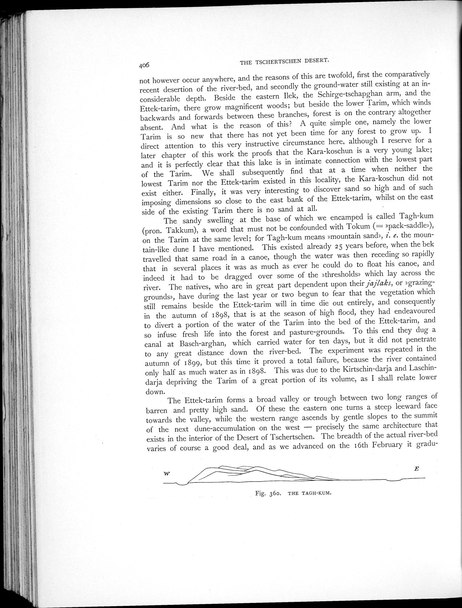
The sandy swelling at the base of which we encamped is called Tagh-kum (pron. Takkum), a word that must not be confounded with Tokum (= »pack-saddle»), on the Tarim at the same level; for Tagh-kum means »mountain sand», 1. e. the mountain-like dune I have mentioned. This existed already 25 years before, when the bek travelled that same road in a canoe, though the water was then receding so rapidly that in several places it was as much as ever he could do to float his canoe, and indeed it had to be dragged over some of the »thresholds» which lay across the river. The natives, who are in great part dependent upon their jajlaks, or »grazing-grounds», have during the last year or two begun to fear that the vegetation which still remains beside the Ettek-tarim will in time die out entirely, and consequently in the autumn of i 898, that is at the season of high flood, they had endeavoured to divert a portion of the water of the Tarim into the bed of the Ettek-tarim, and so infuse fresh life into the forest and pasture-grounds. To this end they dug a canal at Basch-arghan, which carried water for ten days, but it did not penetrate to any great distance down the river-bed. The experiment was repeated in the autumn of i 899, but this time it proved a total failure, because the river contained only half as much water as in 1898. This was due to the Kirtschin-darja and Laschindarja depriving the Tarim of a great portion of its volume, as I shall relate lower down.
The Ettek-tarim forms a broad valley or trough between two long ranges of barren and pretty high sand. Of these the eastern one turns a steep leeward face towards the valley, while the western range ascends by gentle slopes to the summit of the next dune-accumulation on the west — precisely the same architecture that exists in the interior of the Desert of Tschertschen. The breadth of the actual river-bed varies of course a good deal, and as we advanced on the i 6th February it gradu-
Fig. 360. THE TAGH-KUM.
|
Copyright (C) 2003-2019 National Institute of Informatics and The Toyo Bunko. All Rights Reserved.