National Institute of Informatics - Digital Silk Road Project
| |||||||||
|
| Scientific Results of a Journey in Central Asia, 1899-1902 : vol.1 |
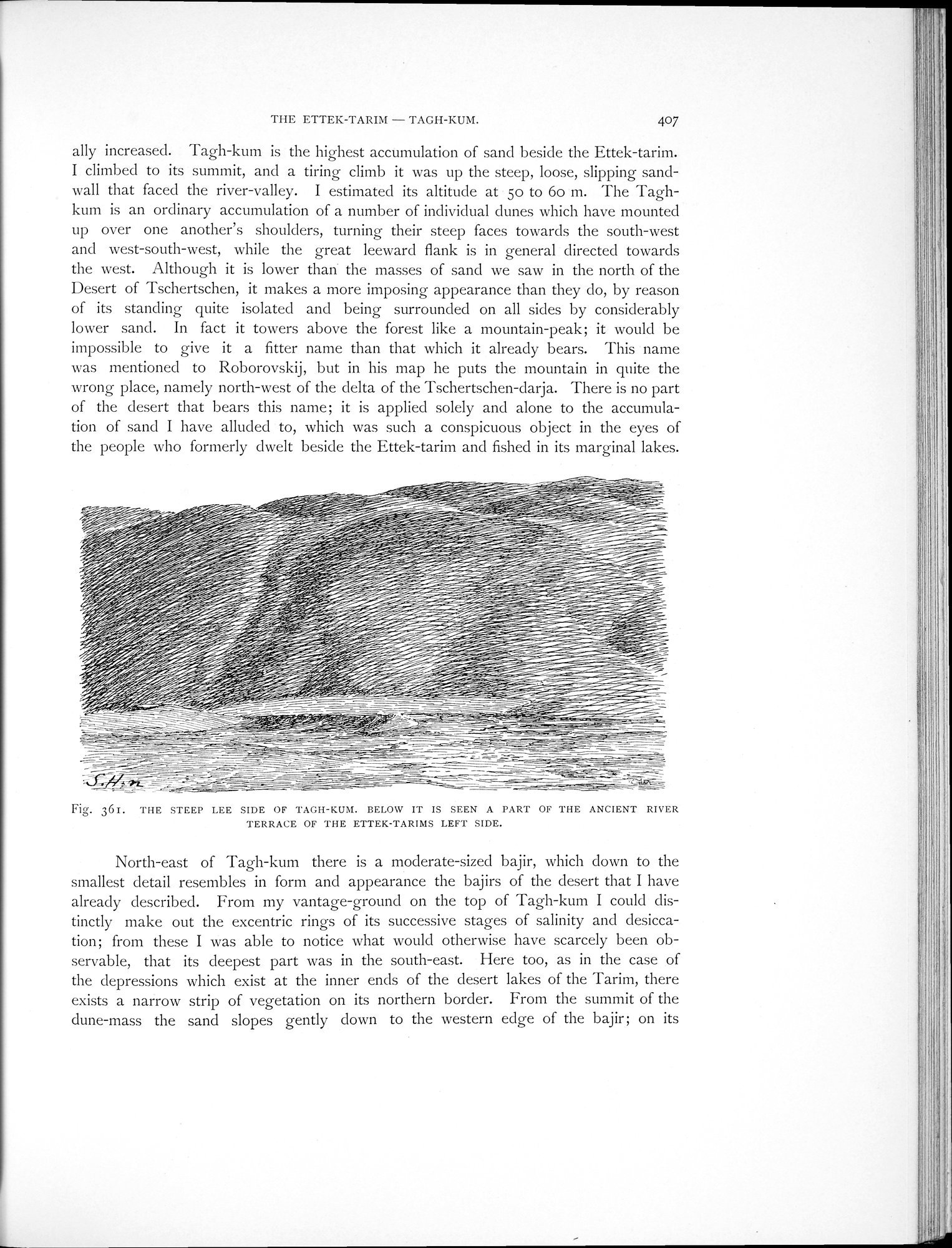 |
| THE STEEP LEE SIDE OF TAGH-KUM. BELOW IT IS SEEN A PART OF THE ANCIENT RIVER TERRACE OF THE ETTEK-TARIMS LEFT SIDE. |
THE ETTEK-TARIM — TAGH-KUM. 407
ally increased. Tagh-kum is the highest accumulation of sand beside the Ettek-tarim. I climbed to its summit, and a tiring climb it was up the steep, loose, slipping sand-wall that faced the river-valley. I estimated its altitude at 5o to 6o m. The Taghkum is an ordinary accumulation of a number of individual dunes which have mounted up over one another's shoulders, turning their steep faces towards the south-west and west-south-west, while the great leeward flank is in general directed towards the west. Although it is lower than the masses of sand we saw in the north of the Desert of Tschertschen, it makes a more imposing appearance than they do, by reason of its standing quite isolated and being surrounded on all sides by considerably lower sand. In fact it towers above the forest like a mountain-peak; it would be impossible to give it a fitter name than that which it already bears. This name was mentioned to Roborovskij, but in his map he puts the mountain in quite the wrong place, namely north-west of the delta of the Tschertschen-darja. There is no part of the desert that bears this name; it is applied solely and alone to the accumulation of sand I have alluded to, which was such a conspicuous object in the eyes of the people who formerly dwelt beside the Ettek-tarim and fished in its marginal lakes.
-'
~
~ ~--~
-
/yii/~~ .°"''-''''--..,•-...----.'"---~ r~ ~~~y ~ ~~~~--
~~~~~~--
--
_
i~ ~~
~~~%~~~~~~~j~~
~~~~i~ %i// ÿ~,..<:. v;~■I—~
~i P ~~i,f.✓~ ,~/ //~~~ ,~ ~
~/~~ •.i1~~-~ ~~--.s~~i
~ ~~~~~ ~~~._i~~~~i~
~~~~%~~ ~_~~~w~~~~ ~4-~~~ ,--
~~/~ ✓~~ /-~ ,"/~ii~!~i~~~s= /'r ~ ~~ ~%-~~ t .s-~~ ~ ~rt= it0~~~ ~ ~~~~~ ~s~~~i ~/ ij~~;s=~ ~=.i~
///i~ ~~ ~~ ~ '~f ~~~~~~~ ~-~~-~~~~~
/a~ ii /./. ' ~y `yr t ~ej~~/~` ~~~~t %i~~'~~~~~ -` `~ .y ~ , -s/i.~- ~~.~/i ~i~~i .~
~/i////>~~~~/~/s~" r~r~ ii~i~i~-~~~ ~=~—.~-=-~ ~~~//~~~~e~v~y~~~.i~F~ =
~~//~'//-°r ~~~~i-~i
% //! ~r~ ,s"~ ~~~~
/~~ j//~~~,~~~0 ~%h~`/ ~~ ~~~~1~--
-~_~ — ~
~~./Ji ~~i~ ."~
/ ~ ~~~~/./~~/~~~~~x ~"i~ ~s~-i~~~~./~/~~~~ i~i-~~~1-
/✓j i~ i~L% p~ r /~/~/,O/~~ Tl 3 ~~-~~F!~~J~-~~~ ~~ `~~?
~—` - -._
1•-•■•
—._ __~
Fig. 361. THE STEEP LEE SIDE OF TAGH-KUM. BELOW IT IS SEEN A PART OF THE ANCIENT RIVER TERRACE OF THE ETTEK-TARIMS LEFT SIDE.
North-east of Tagh-kum there is a moderate-sized bajir, which down to the smallest detail resembles in form and appearance the bajirs of the desert that I have already described. From my vantage-ground on the top of Tagh-kum I could distinctly make out the excentric rings of its successive stages of salinity and desiccation; from these I was able to notice what would otherwise have scarcely been observable, that its deepest part was in the south-east. Here too, as in the case of the depressions which exist at the inner ends of the desert lakes of the Tarim, there exists a narrow strip of vegetation on its northern border. From the summit of the dune-mass the sand slopes gently down to the western edge of the bajir; on its
|
Copyright (C) 2003-2019 National Institute of Informatics and The Toyo Bunko. All Rights Reserved.