National Institute of Informatics - Digital Silk Road Project
| |||||||||
|
| Scientific Results of a Journey in Central Asia, 1899-1902 : vol.1 |
 |
| SCHEJTLER. |
TIIE RETURN JOURNEY FROM ARGHAN TO JANGI-KÜL. 42I
deep from the edge of the terraced bank to the surface of the ice, the face of the terrace being vertical or exceedingly steep. After that we saw before us a wide
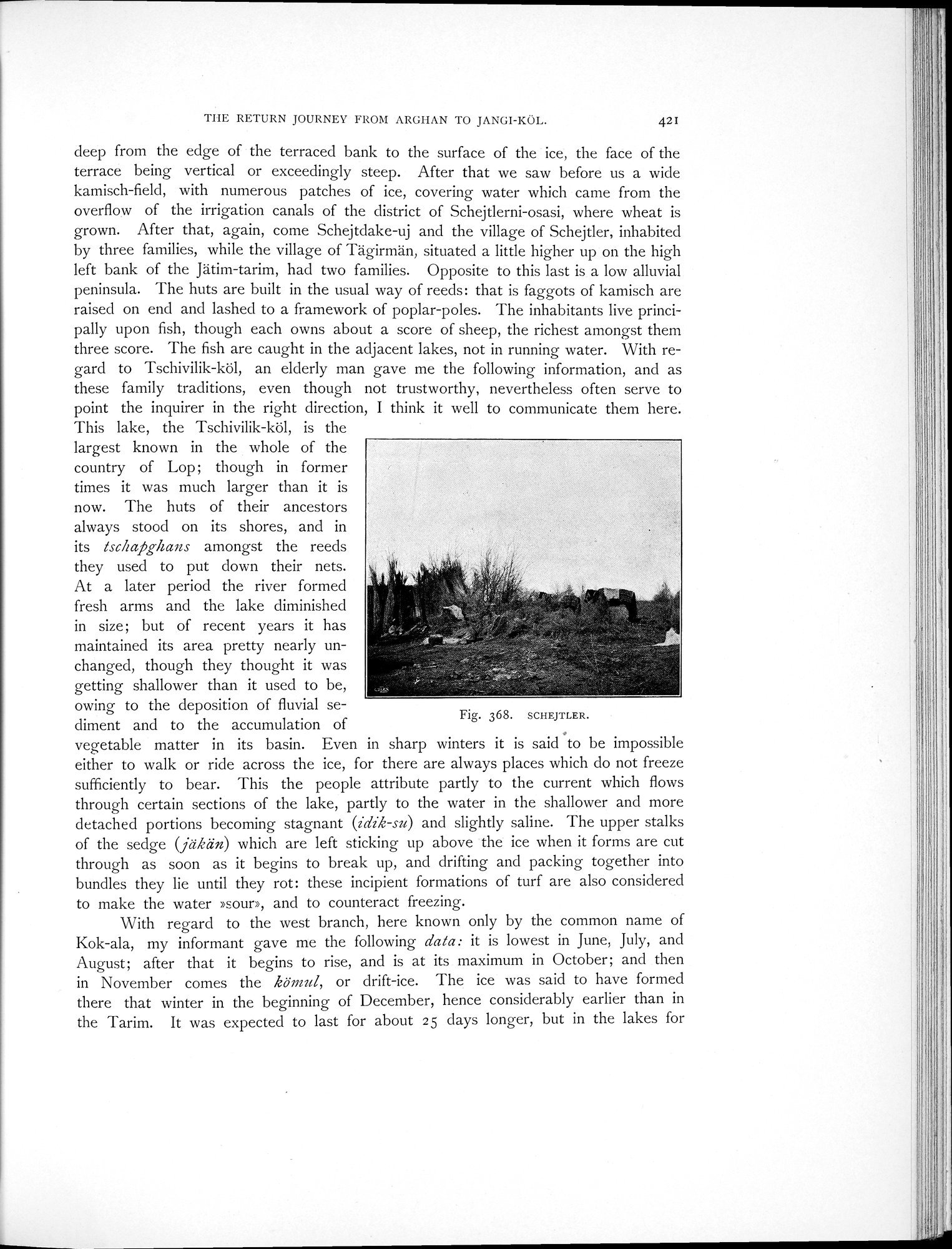
kamisch-field, with numerous patches of ice, covering water which came from the overflow of the irrigation canals of the district of Schejtlerni-osasi, where wheat is grown. After that, again, come Schejtdake-uj and the village of Schejtler, inhabited by three families, while the village of Tägirmän, situated a little higher up on the high left bank of the Jätim-tarim, had two families. Opposite to this last is a low alluvial peninsula. The huts are built in the usual way of reeds: that is faggots of kamisch are raised on end and lashed to a framework of poplar-poles. The inhabitants live principally upon fish, though each owns about a score of sheep, the richest amongst them three score. The fish are caught in the adjacent lakes, not in running water. With regard to Tschivilik-köl, an elderly man gave me the following information, and as these family traditions, even though not trustworthy, nevertheless often serve to point the inquirer in the right direction, I think it well to communicate them here.
This lake, the Tschivilik-köl, is the largest known in the whole of the country of Lop; though in former times it was much larger than it is now. The huts of their ancestors always stood on its shores, and in its tschrapghans amongst the reeds they used to put down their nets. At a later period the river formed fresh arms and the lake diminished in size; but of recent years it has maintained its area pretty nearly unchanged, though they thought it was getting shallower than it used to be, owing to the deposition of fluvial sediment and to the accumulation of
I
vegetable matter in its basin. Even in sharp winters it is said to be impossible either to walk or ride across the ice, for there are always places which do not freeze sufficiently to bear. This the people attribute partly to the current which flows through certain sections of the lake, partly to the water in the shallower and more detached portions becoming stagnant (idik-su) and slightly saline. The upper stalks of the sedge (jäkän) which are left sticking up above the ice when it forms are cut through as soon as it begins to break up, and drifting and packing together into bundles they lie until they rot: these incipient formations of turf are also considered to make the water »sour», and to counteract freezing.
With regard to the west branch, here known only by the common name of Kok-ala, my informant gave me the following data: it is lowest in June, July, and August; after that it begins to rise, and is at its maximum in October; and then in November comes the kömul, or drift-ice. The ice was said to have formed there that winter in the beginning of December, hence considerably earlier than in the Tarim. It was expected to last for about 25 days longer, but in the lakes for
Fig. 368. SCHEJTLER.
|
Copyright (C) 2003-2019 National Institute of Informatics and The Toyo Bunko. All Rights Reserved.