National Institute of Informatics - Digital Silk Road Project
| |||||||||
|
| Scientific Results of a Journey in Central Asia, 1899-1902 : vol.1 |
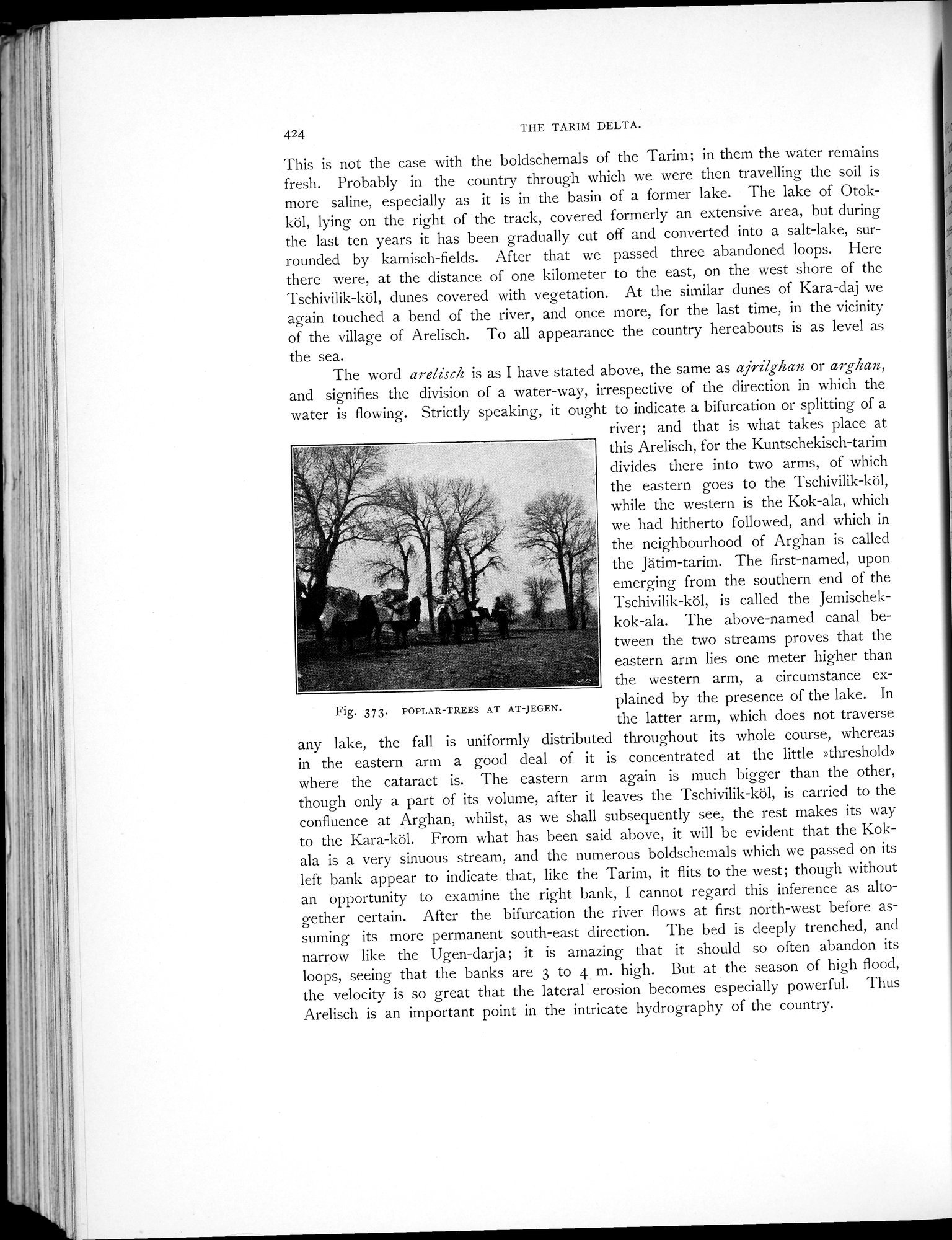 |
| POPLAR-TREES AT AT-JEGEN. |
424 THE TARIM DELTA.
This is not the case with the boldschemals of the Tarim; in them the water remains fresh. Probably in the country through which we were then travelling the soil is more saline, especially as it is in the basin of a former lake. The lake of Otokköl, lying on the right of the track, covered formerly an extensive area, but during the last ten years it has been gradually cut off and converted into a salt-lake, surrounded by kamisch-fields. After that we passed three abandoned loops. Here there were, at the distance of one kilometer to the east, on the west shore of the Tschivilik-köl, dunes covered with vegetation. At the similar dunes of Kara-daj we again touched a bend of the river, and once more, for the last time, in the vicinity of the village of Arelisch. To all appearance the country hereabouts is as level as the sea.
The word arelisch is as I have stated above, the same as ajrilghan or arghan, and signifies the division of a water-way, irrespective of the direction in which the water is flowing. Strictly speaking, it ought to indicate a bifurcation or splitting of a
river; and that is what takes place at this Arelisch, for the Kuntschekisch-tarim divides there into two arms, of which the eastern goes to the Tschivilik-köl, while the western is the Kok-ala, which we had hitherto followed, and which in the neighbourhood of Arghan is called
the Jätim-tarim. The first-named, upon emerging from the southern end of the Tschivilik-köl, is called the Jemischek-
fix+ o
kok-ala. The above-named canal between the two streams proves that the eastern arm lies one meter higher than - the western arm, a circumstance ex-
Fig. 373 POPLAR—TREES AT AT—JEGEN. plained by the presence of the lake. In
the latter arm, which does not traverse any lake, the fall is uniformly distributed throughout its whole course, whereas in the eastern arm a good deal of it is concentrated at the little »threshold» where the cataract is. The eastern arm again is much bigger than the other, though only a part of its volume, after it leaves the Tschivilik-köl, is carried to the confluence at Arghan, whilst, as we shall subsequently see, the rest makes its way to the Kara-köl. From what has been said above, it will be evident that the Kokala is a very sinuous stream, and the numerous boldschemals which we passed on its left bank appear to indicate that, like the Tarim, it flits to the west; though without an opportunity to examine the right bank, I cannot regard this inference as altogether certain. After the bifurcation the river flows at first north-west before assuming its more permanent south-east direction. The bed is deeply trenched, and narrow like the Ugen-darja; it is amazing that it should so often abandon its loops, seeing that the banks are 3 to 4 m. high. But at the season of high flood, the velocity is so great that the lateral erosion becomes especially powerful. Thus Arelisch is an important point in the intricate hydrography of the country.
|
Copyright (C) 2003-2019 National Institute of Informatics and The Toyo Bunko. All Rights Reserved.