National Institute of Informatics - Digital Silk Road Project
| |||||||||
|
| Scientific Results of a Journey in Central Asia, 1899-1902 : vol.1 |
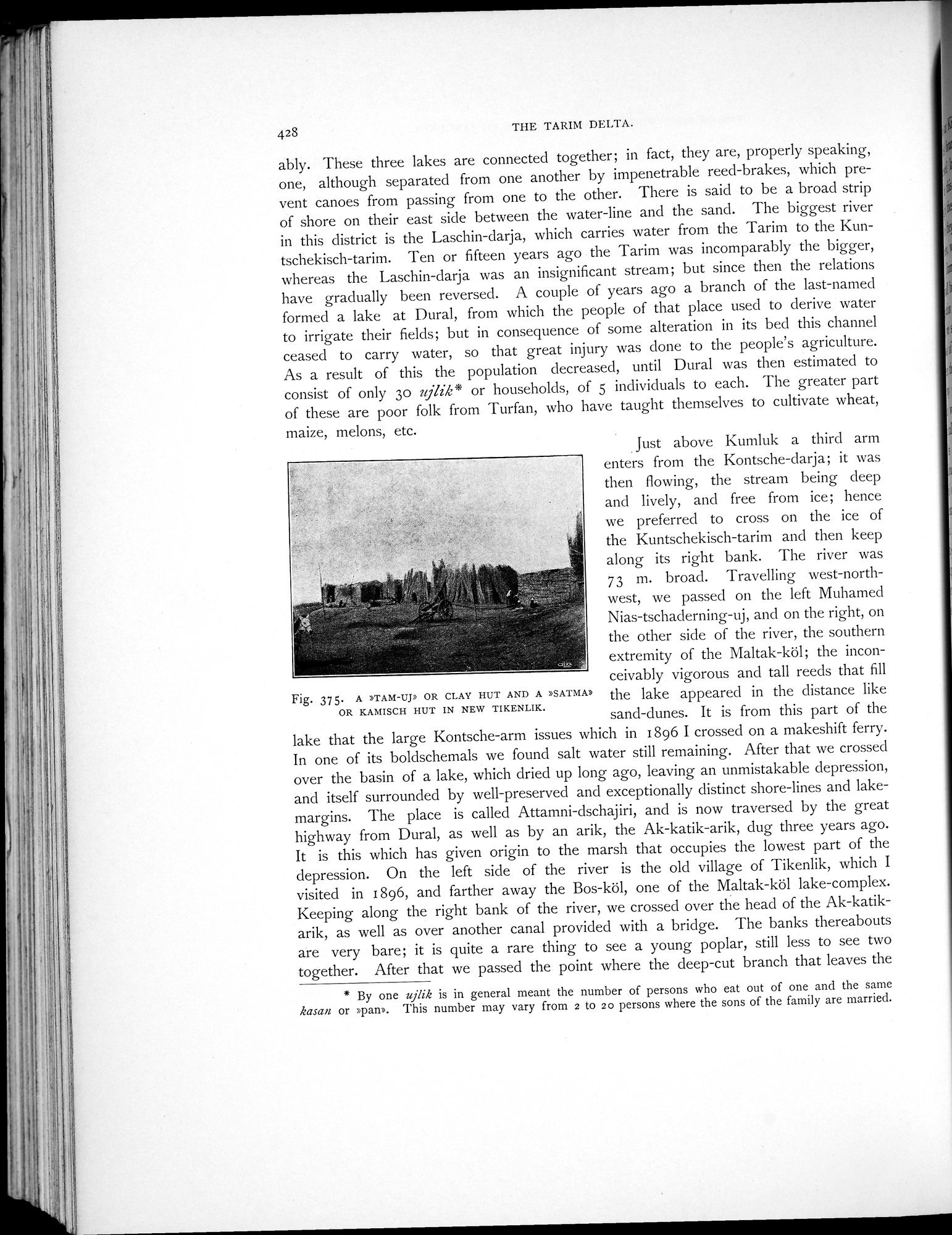 |
| A »TAM-UJ» OR CLAY HUT AND A »SATMA» OR KAMISCH HUT IN NEW TIKENLIK. |
428 THE TARIM DELTA.
ably. These three lakes are connected together; in fact, they are, properly speaking, one, although separated from one another by impenetrable reed-brakes, which prevent canoes from passing from one to the other. There is said to be a broad strip of shore on their east side between the water-line and the sand. The biggest river in this district is the Laschin-darja, which carries water from the Tarim to the Kuntschekisch-tarim. Ten or fifteen years ago the Tarim was incomparably the bigger, whereas the Laschin-darja was an insignificant stream; but since then the relations have gradually been reversed. A couple of years ago a branch of the last-named formed a lake at Dural, from which the people of that place used to derive water to irrigate their fields; but in consequence of some alteration in its bed this channel ceased to carry water, so that great injury was done to the people's agriculture. As a result of this the population decreased, until Dural was then estimated to consist of only 30 ujlik* or households, of 5 individuals to each. The greater part of these are poor folk from Turfan, who have taught themselves to cultivate wheat, maize, melons, etc.
Just above Kumluk a third arm enters from the Kontsche-darja; it was then flowing, the stream being deep and lively, and free from ice; hence we preferred to cross on the ice of the Kuntschekisch-tarim and then keep along its right bank. The river was 73 m. broad. Travelling west-northwest, we passed on the left Muhamed
Nias-tschaderning-uj, and on the right, on the other side of the river, the southern extremity of the Maltak-köl; the inconceivably vigorous and tall reeds that fill
Fig. 37 5. A »TAM-Up OR CLAY HUT AND A »SATMA» the lake appeared in the distance like
OR KAMISCH HUT IN NEW TIKENLIK. sand-dunes. It is from this part of the
lake that the large Kontsche-arm issues which in 1896 I crossed on a makeshift ferry. In one of its boldschemals we found salt water still remaining. After that we crossed over the basin of a lake, which dried up long ago, leaving an unmistakable depression, and itself surrounded by well-preserved and exceptionally distinct shore-lines and lake-margins. The place is called Attamni-dschajiri, and is now traversed by the great highway from Dural, as well as by an arik, the Ak-katik-arik, dug three years ago. It is this which has given origin to the marsh that occupies the lowest part of the depression. On the left side of the river is the old village of Tikenlik, which I visited in 1896, and farther away the Bos-köl, one of the Maltak-köl lake-complex. Keeping along the right bank of the river, we crossed over the head of the Ak-katikarik, as well as over another canal provided with a bridge. The banks thereabouts are very bare; it is quite a rare thing to see a young poplar, still less to see two together. After that we passed the point where the deep-cut branch that leaves the
* By one ujlik is in general meant the number of persons who eat out of one and the same kasan or »pan». This number may vary from 2 to 20 persons where the sons of the family are married.
|
Copyright (C) 2003-2019 National Institute of Informatics and The Toyo Bunko. All Rights Reserved.