National Institute of Informatics - Digital Silk Road Project
| |||||||||
|
| Scientific Results of a Journey in Central Asia, 1899-1902 : vol.1 |
 |
| WATER-ARM NEAR JÄKÄN-ÖJ. |
450 THE TARIM DELTA.
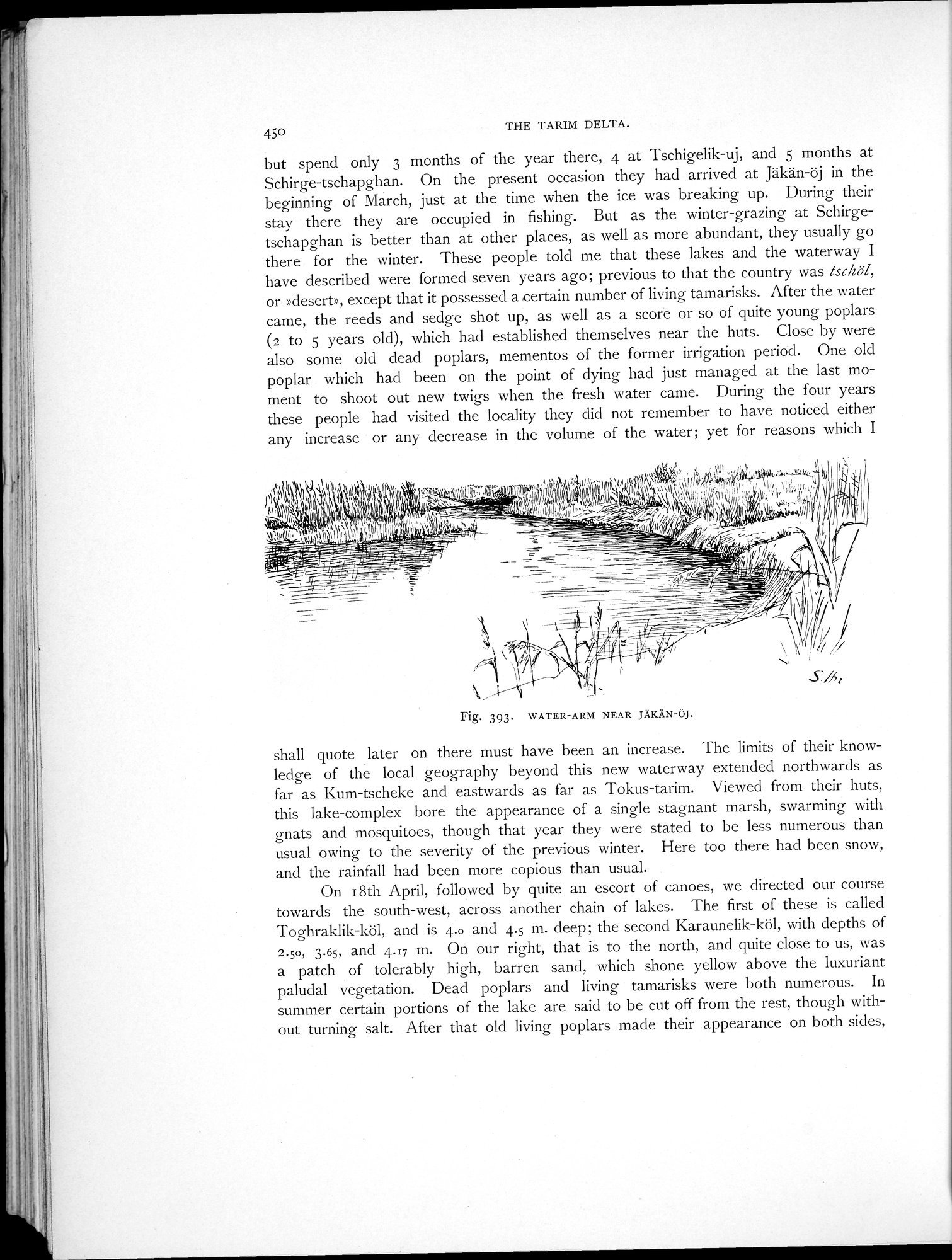
but spend only 3 months of the year there, 4 at Tschigelik-uj, and 5 months at Schirge-tschapghan. On the present occasion they had arrived at Jäkän-öj in the beginning of March, just at the time when the ice was breaking up. During their stay there they are occupied in fishing. But as the winter-grazing at Schirgetschapghan is better than at other places, as well as more abundant, they usually go there for the winter. These people told me that these lakes and the waterway I have described were formed seven years ago; previous to that the country was ischöl, or »desert», except that it possessed a certain number of living tamarisks. After the water came, the reeds and sedge shot up, as well as a score or so of quite young poplars (2 to 5 years old), which had established themselves near the huts. Close by were also some old dead poplars, mementos of the former irrigation period. One old poplar which had been on the point of dying had just managed at the last moment to shoot out new twigs when the fresh water came. During the four years these people had visited the locality they did not remember to have noticed either any increase or any decrease in the volume of the water; yet for reasons which I
Fig. 393. WATER-ARM NEAR JÄKÄN-ÖJ.
shall quote later on there must have been an increase. The limits of their knowledge of the local geography beyond this new waterway extended northwards as far as Kum-tscheke and eastwards as far as Tokus-tarim. Viewed from their huts, this lake-complex bore the appearance of a single stagnant marsh, swarming with gnats and mosquitoes, though that year they were stated to be less numerous than usual owing to the severity of the previous winter. Here too there had been snow, and the rainfall had been more copious than usual.
On 18th April, followed by quite an escort of canoes, we directed our course towards the south-west, across another chain of lakes. The first of these is called Toghraklik-köl, and is 4.0 and 4.5 m. deep; the second Karaunelik-köl, with depths of 2.50, 3.65, and 4.17 m. On our right, that is to the north, and quite close to us, was a patch of tolerably high, barren sand, which shone yellow above the luxuriant paludal vegetation. Dead poplars and living tamarisks were both numerous. In summer certain portions of the lake are said to be cut off from the rest, though without turning salt. After that old living poplars made their appearance on both sides,
|
Copyright (C) 2003-2019 National Institute of Informatics and The Toyo Bunko. All Rights Reserved.