National Institute of Informatics - Digital Silk Road Project
| |||||||||
|
| Scientific Results of a Journey in Central Asia, 1899-1902 : vol.1 |
 |
| DEEPLY EXCAVATED BED OF »KOK-ALA». |
THE SCHIRGE-TSCHAPGHAN BRANCH AND CANALS. 451
but especially to the south, as well as numerous old trunks, on which fresh branches were sprouting. Thus this district of Schirge-tschapghan is the only one in which old, and at the same time lusty, poplars occur. South of this point, and right away to the extreme eastern end of the Kara-koschun, these trees are entirely absent; but east of the same point, alongside the waterway we had just traversed, there are old dead tree-trunks. From this the inference is perfectly obvious, that Schirgetschapghan marks the southernmost point common to both river-systems, and the only point which during both overflow periods was uninterruptedly irrigated, without its forest being destroyed by an intermediate period of aridity. On the southern shore are some huts embowered in a poplar grove, and inhabited by three families. The depth here amounted to 4.25 and 4.32 m.
These lakes, and especially Karaunelik-köl, perform the peculiar function of serving as water-partings or watersheds, for within them a bifurcation takes place. The water which comes to them from the Kara-köl through the Ilek of Kumtscheke afterwards divides and proceeds in two different directions, some to the east, along the waterways we had just traversed, and the rest to the Tarim. In both cases the terminal basin is the same, namely the Kara-koschun. At the time of our expedition the lake lay 55 to 6o cm. higher than the level of the Tarim, so that there were necessarily cataracts in both directions, though the cataract in _the
western system is not so high as that in the eastern. The people of Jäkän-öj described the Karaunelik-köl as
an ajrala'ighan-jer, or »place of division». They said
that the water first entered this basin seven years before, and in the very first year of its arrival divided
into two branches, one going to the east, the other to the west. At that time the only vegetation con
sisted of tamarisks; otherwise the country was tschöl, or »desert». But the vegetation spread quickly, and during the first three years the volume of the water increased very appreciably. There can be no doubt that, previous to these seven years, a very long time must have been spent in filling the Kara-köl and its sister lakes, until they were able to send the water on farther to the south. The other huts which we saw beside these lakes were, like those of Jäkän-öj, built four years ago. The natives were unable to tell me where the water of the eastern division went to, for in that direction they have not carried their reconnaissances particularly far.
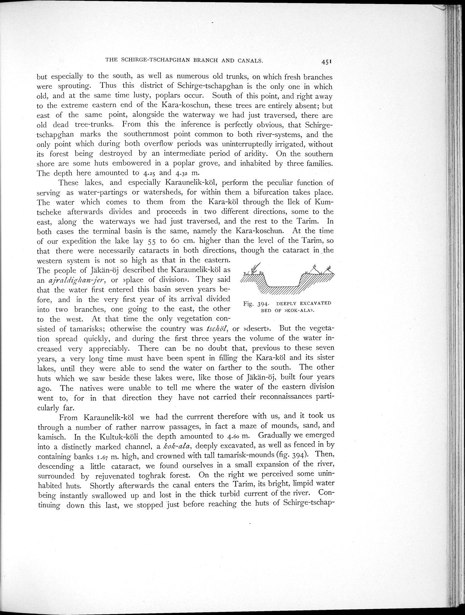
From Karaunelik-köl we had the currrent therefore with us, and it took us through a number of rather narrow passages, in fact a maze of mounds, sand, and kamisch. In the Kultuk-köli the depth amounted to 4.6o m. Gradually we emerged into a distinctly marked channel, a kok-ala, deeply excavated, as well as fenced in by containing banks 1.67 m. high, and crowned with tall tamarisk-mounds (fig. 394). Then, descending a little cataract, we found ourselves in a small expansion of the river, surrounded by rejuvenated toghrak forest. On the right we perceived some uninhabited huts. Shortly afterwards the canal enters the Tarim, its bright, limpid water being instantly swallowed up and lost in the thick turbid current of the river. Continuing down this last, we stopped just before reaching the huts of Schirge-tschap-
Fig. 394. DEEPLY EXCAVATED
BED OF »KOK-ALA».
|
Copyright (C) 2003-2019 National Institute of Informatics and The Toyo Bunko. All Rights Reserved.