National Institute of Informatics - Digital Silk Road Project
| |||||||||
|
| Scientific Results of a Journey in Central Asia, 1899-1902 : vol.1 |
 |
| DEAD TOGHRAKS IN THE BED OF THE LOWER KOK-ALA. | |
| The lower channel at Schirge-tschapghan; April 18th. |
454 THE TARIM DELTA.
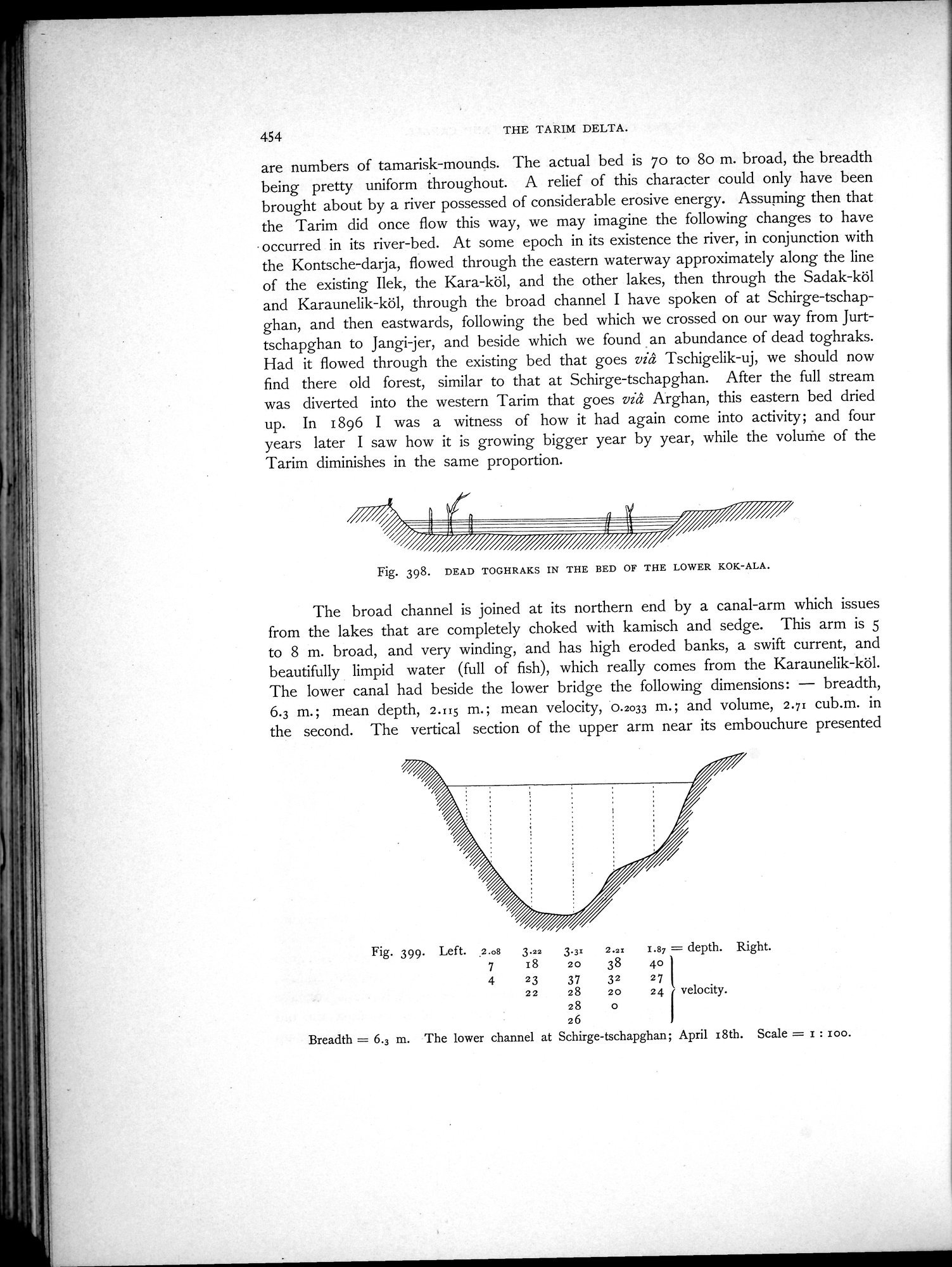
are numbers of tamarisk-mounds. The actual bed is 70 to 8o m. broad, the breadth being pretty uniform throughout. A relief of this character could only have been brought about by a river possessed of considerable erosive energy. Assuming then that the Tarim did once flow this way, we may imagine the following changes to have
occurred in its river-bed. At some epoch in its existence the river, in conjunction with the Kontsche-darja, flowed through the eastern waterway approximately along the line of the existing Ilek, the Kara-köl, and the other lakes, then through the Sadak-köl and Karaunelik-köl, through the broad channel I have spoken of at Schirge-tschapghan, and then eastwards, following the bed which we crossed on our way from Jurttschapghan to Jangi jer, and beside which we found an abundance of dead toghraks. Had it flowed through the existing bed that goes viâ Tschigelik-uj, we should now find there old forest, similar to that at Schirge-tschapghan. After the full stream was diverted into the western Tarim that goes viâ Arghan, this eastern bed dried up. In 1896 I was a witness of how it had again come into activity; and four years later I saw how it is growing bigger year by year, while the volume of the Tarim diminishes in the same proportion.
Fig. 398. DEAD TOGHRAKS IN THE BED OF THE LOWER KOK-ALA.
The broad channel is joined at its northern end by a canal-arm which issues from the lakes that are completely choked with kamisch and sedge. This arm is 5 to 8 m. broad, and very winding, and has high eroded banks, a swift current, and beautifully limpid water (full of fish), which really comes from the Karaunelik-köl. The lower canal had beside the lower bridge the following dimensions: — breadth, 6.3 m.; mean depth, 2.115 m.; mean velocity, 0.2033 m.; and volume, 2.71 cub.m. in the second. The vertical section of the upper arm near its embouchure presented
Fig. 399. Left. .2.o8 3.22 3.3: 2.2! 1.87 =depth. Right.
7 r8 20 38 40
4 23 37 32 27 l
22 28 20 24 velocity.
28 0
26
Breadth = 6.3 m. The lower channel at Schirge-tschapghan; April r8th. Scale = r : zoo.
|
Copyright (C) 2003-2019 National Institute of Informatics and The Toyo Bunko. All Rights Reserved.