National Institute of Informatics - Digital Silk Road Project
| |||||||||
|
| Scientific Results of a Journey in Central Asia, 1899-1902 : vol.1 |
 |
| A VERY IRREGULAR »FJORD» ON THE EASTERN SHORE OF ARKA-KÖL; THE DARK PARTS ARE WATER, THE WHITE LAND. |
480 THE TARIM DELTA..
in the changeableness of the hydrographical distribution this factor again plays a by no means unimportant part; as we shall ascertain subsequently, kamisch is one of the factors which helps to fill up the basin of the Kara-koschun.
A gentle current can be detected in the narrow passages (6o/to) between the tamarisk-mounds, which rise straight out of the water. One of these passages is called Kirghuj Pavan-jaghatsch-tscheken-bolto. Broader passages are called bel, a term that is applied in mountainous districts to a flat, easy pass. To the south of the western part of the lake there is a patch of barren dunes of somewhat imposing dimensions. On the whole the Arka-köl is considerably deeper than the Karakoschun; the greatest depths we obtained being 5.28, 5.48, 7.13, and 5.3o m., so that this depression is more accentuated than that of the Kara-koschun. Hence we have reason to suspect, that the Kara-koschun is older than the Arka-köl in its present form, for the former is more filled up, though this is only to a very slight extent caused by the water remaining stationary in it; whereas the current runs right across the Arka-köl, while the barrier at its southern end prevents any solid material from leaving the lake.
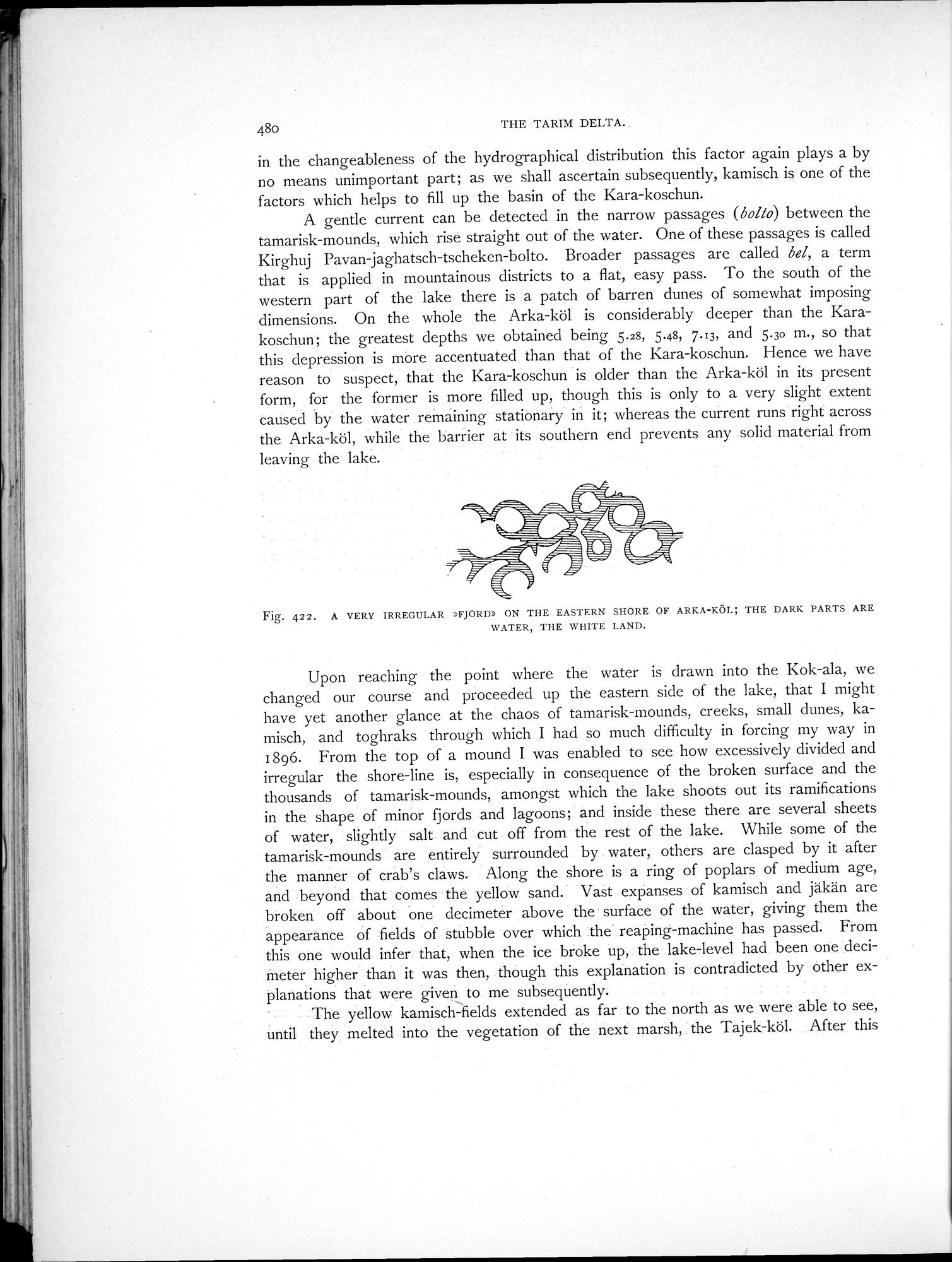
Fig. 422. A VERY IRREGULAR MORD) ON THE EASTERN SHORE OF ARKA-KÖL; THE DARK PARTS ARE WATER, THE WHITE LAND.
Upon reaching the point where the water is drawn into the Kok-ala, we changed our course and proceeded up the eastern side of the lake, that I might have yet another glance at the chaos of tamarisk-mounds, creeks, small dunes, ka-misch, and toghraks through which I had so much difficulty in forcing my way in 1896. From the top of a mound I was enabled to see how excessively divided and irregular the shore-line is, especially in consequence of the broken surface and the thousands of tamarisk-mounds, amongst which the lake shoots out its ramifications in the shape of minor fjords and lagoons; and inside these there are several sheets of water, slightly salt and cut off from the rest of the lake. While some of the tamarisk-mounds are entirely surrounded by water, others are clasped by it after the manner of crab's claws. Along the shore is a ring of poplars of medium age, and beyond that comes the yellow sand.' Vast expanses of kamisch and jäkän are broken off about one decimeter above the • surface of the water; giving them the appearance of •fields of stubble over which the reaping-machine has passed. From this one would infer that, when the ice broke up, the lake-level had been one decimeter higher than it was then, though this explanation is contradicted by other ex-
planations that were given to me subsequently. .
The yellow kamisch-fields extended as far to the north as we were able to see, until they. melted into the vegetation of the next marsh, : the Tajek-köl. After this
|
Copyright (C) 2003-2019 National Institute of Informatics and The Toyo Bunko. All Rights Reserved.