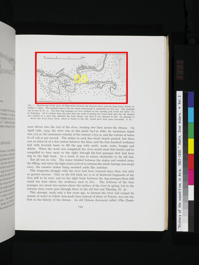
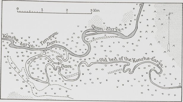
| [Figure] Fig. 7. |
Sketch-map of the place of bifurcation between the Konche-darya and the Qum-darya drawn by Parker C. Chen. The northern dam is the one whose destruction is mentioned in the text. The southern
one is seen in Pl. 35. The four dug passages are here marked as one opening just below the letter ≫T≫ in Temenpu. (It is evident from the plan that the work of forcing the water back into the old channel
was started at a spot that afforded the least labour, but that it was doomed to fail. An attempt to divert the river lower down, where it bends to the left, would have been more successful. F. B.) |