National Institute of Informatics - Digital Silk Road Project
Digital Archive of Toyo Bunko Rare Books
|
|
Color Thumbnail -
Table of Contents -
Page Number -
Biliographic Information (Metadata) -
Caption -
Color Image -
Gray HighRes. Image -
Facing Pages -
Graphics -
| 0338 |
Innermost Asia : vol.2 |
Captions
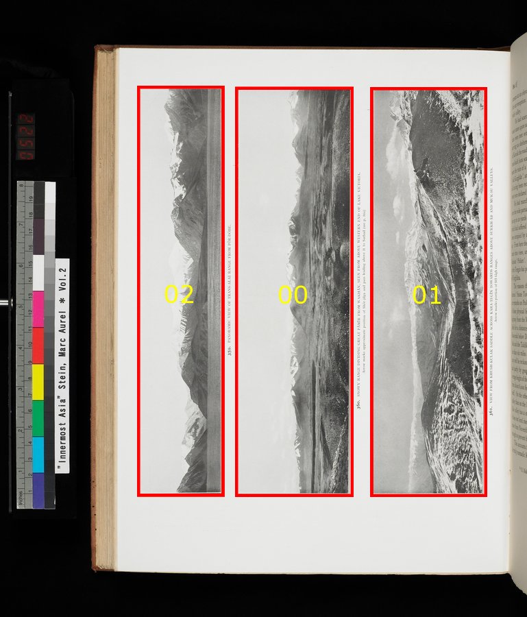
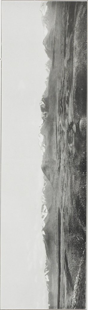
| [Photo] 359 |
PANORAMIC VIEW OF TRANS-ALAI RANGE FROM PŌR-DӦBE. |
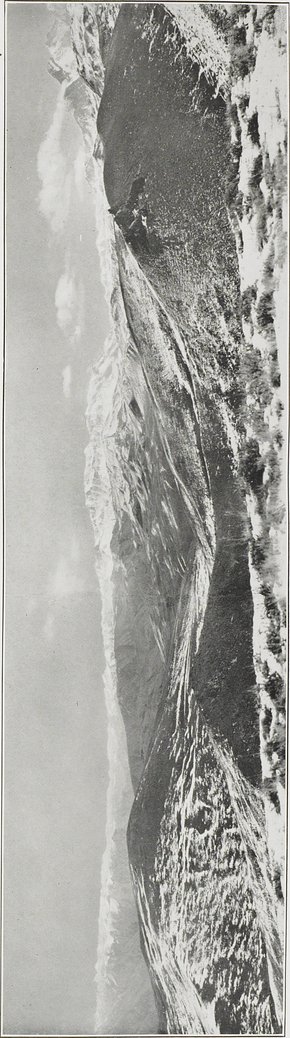
| [Photo] 360 |
SNOWY RANGE DIVIDING GREAT PĀMĪR FROM WAKHĀN, SEEN FROM ABOVE WESTERN END OF LAKE VICTORIA. Arrow marks approximate position of Shōr-jilga and pass leading above it to Sharhad (see p.861) |
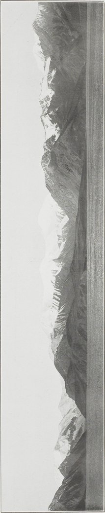
| [Photo] 361 |
VIEW FROM KHUSH-KULAK SADDLE ACROSS KARA-TEGĪN TOWARDS RANGES ABOVE SURKH-ĀB AND MUK-SU VALLEYS. Arrow marks portion of Sēl-tāgh range. |
 Citation Information
7
.
.
.
.
|
.
.
.
.
198
.
.
.
303
337
338
343
347
.
352
.
.
.
.
|
.
.
.
.
390
.
.
.
.
|
.
.
.
.
432
.
.
.
.
|
.
.
.
.
511
.
698
Copyright (C) 2003-2019
National Institute of Informatics
and
The Toyo Bunko. All Rights Reserved.