National Institute of Informatics - Digital Silk Road Project
| |||||||||
|
| Innermost Asia : vol.2 |
 |
Sec. iv] BY THE ALICHUR AND GREAT PAMIR 857
valley at its head is certainly far shorter and offers no serious difficulty for laden ponies.2 During the winter months, when heavy snow lies on the passes crossed by the cart-road to the south, the Yeshil-köl route, which then runs partly over the ice of the lake, is in fact the only one used.
It therefore seems safe to assume that this, the most direct route, was that mainly followed by the Chinese travellers and troops of whose moves across the Pamirs towards Shughnan we have definite historical record. Here it must suffice to refer to the account of Kao Hsien-chih's famous expedition of A. D. 747 across the Pamirs and Hindukush, which I have fully discussed elsewhere,3 in the course of which that great commander personally led a considerable force from Kashgar to Sarikol and Shughnan ; also to the journeys of the Buddhist monk Wu-kung, who in A. D. 751-2 passed from Kashgar to Shughnan, and on his way back from India more than thirty years later again passed from Shughnan to Kashgar.4 In the case of the Chinese pursuit in 1759 of the fugitive Khöjas from Kashgar, there is direct evidence of the use of this route in the Chinese inscription of Süme-tàsh to be referred to below.5 Nor would Süme-tash have been a scene of bloodshed in 1892 had its position at the eastern end of the Yeshil-köl not marked it out to the Chinese and then to the Afghans as a suitable place for watching the route to Shughnan leading along the northern shore of the lake.6
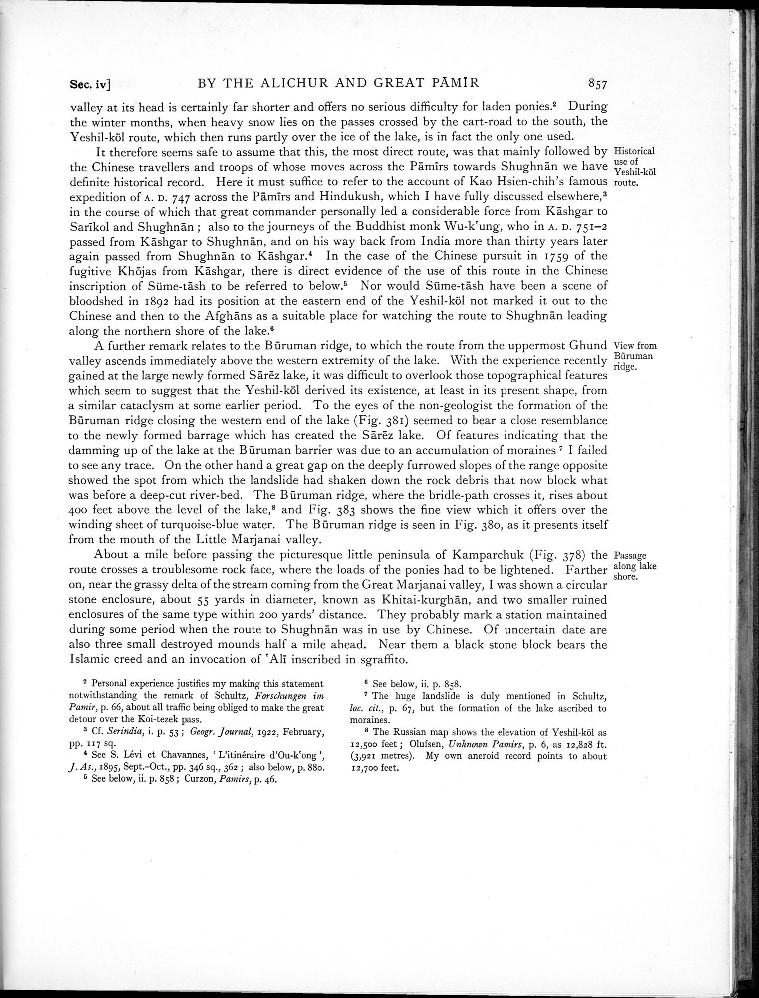
A further remark relates to the B ûruman ridge, to which the route from the uppermost Ghund valley ascends immediately above the western extremity of the lake. With the experience recently gained at the large newly formed Sarëz lake, it was difficult to overlook those topographical features which seem to suggest that the Yeshil-köl derived its existence, at least in its present shape, from a similar cataclysm at some earlier period. To the eyes of the non-geologist the formation of the Bûruman ridge closing the western end of the lake (Fig. 381) seemed to bear a close resemblance to the newly formed barrage which has created the Sarëz lake. Of features indicating that the damming up of the lake at the B ûruman barrier was due to an accumulation of moraines' I failed to see any trace. On the other hand a great gap on the deeply furrowed slopes of the range opposite showed the spot from which the landslide had shaken down the rock debris that now block what was before a deep-cut river-bed. The Bûruman ridge, where the bridle-path crosses it, rises about 400 feet above the level of the lake,8 and Fig. 383 shows the fine view which it offers over the winding sheet of turquoise-blue water. The Bûruman ridge is seen in Fig. 38o, as it presents itself from the mouth of the Little Marjanai valley.
About a mile before passing the picturesque little peninsula of Kamparchuk (Fig. 378) the route crosses a troublesome rock face, where the loads of the ponies had to be lightened. Farther on, near the grassy delta of the stream coming from the Great Marjanai valley, I was shown a circular stone enclosure, about 55 yards in diameter, known as Khitai-kurghan, and two smaller ruined enclosures of the same type within 200 yards' distance. They probably mark a station maintained during some period when the route to Shughnan was in use by Chinese. Of uncertain date are also three small destroyed mounds half a mile ahead. Near them a black stone block bears the Islamic creed and an invocation of `Ali inscribed in sgraffito.
Historical use of Yeshil-köl route.
View from Bnruman ridge.
Passage along lake shore.
2 Personal experience justifies my making this statement notwithstanding the remark of Schultz, Forschungen m i Pamir, p. 66, about all traffic being obliged to make the great detour over the Koi-tezek pass.
3 Cf. Serindia, i. p. 53 ; Geogr. Journal, 1922, February, pp. 117 sq.
4 See S. Lévi et Chavannes, ` L'itinéraire d'Ou-k`ong J. As.,189S, Sept.—Oct., pp. 346 sq., 362 ; also below, p. 880.
5 See below, ii. p. 858 ; Curzon, Pamirs, p. 46.
6 See below, ii. p. 858.
7 The huge landslide is duly mentioned in Schultz, loc. cit., p. 67, but the formation of the lake ascribed to moraines.
8 The Russian map shows the elevation of Yeshil-köl as 12,500 feet ; Olufsen, Unknown Pamirs, p. 6, as 12,828 ft. (3,921 metres). My own aneroid record points to about 12,700 feet.
|
Copyright (C) 2003-2019 National Institute of Informatics and The Toyo Bunko. All Rights Reserved.