National Institute of Informatics - Digital Silk Road Project
| |||||||||
|
| Innermost Asia : vol.3 |
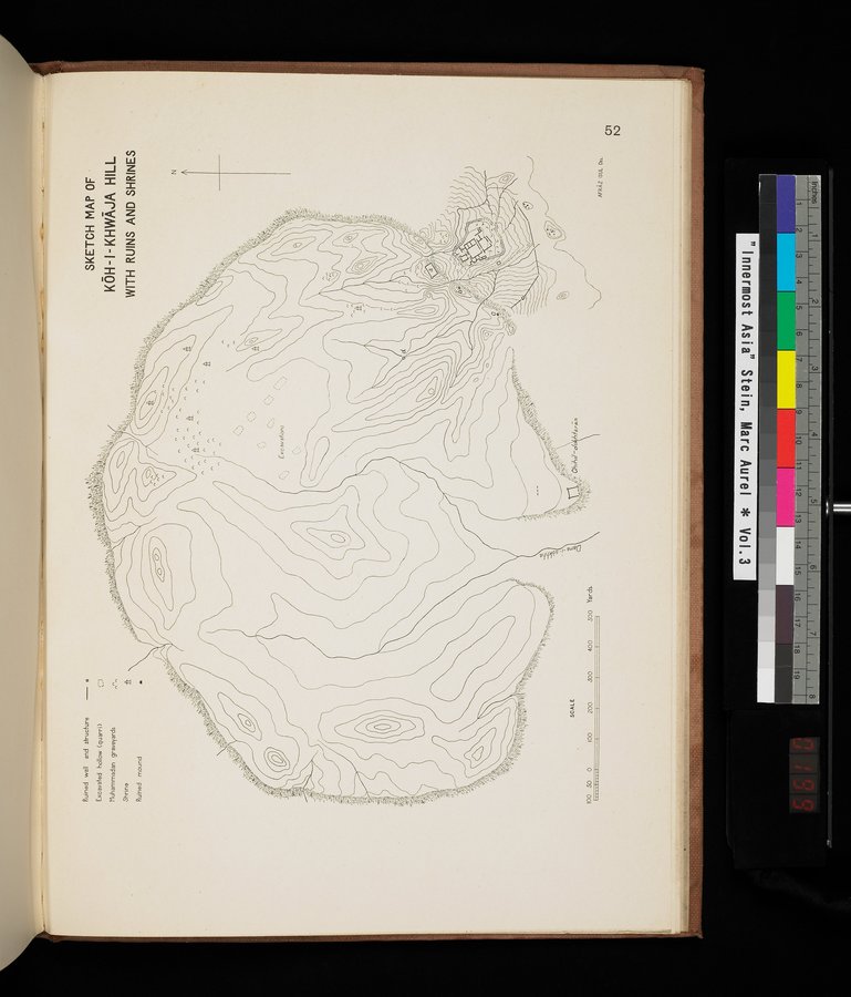 |
| SKETCH MAP OF KŌH-I-KHWĀJA HILL WITH RUINS AND SHRINES |
tr
"113.t
>•~
. _.btrj~~
~.1
Ruined well and structure — o
Exoavated hollow (quarri) Muhammadan graveyards
Shrine
SKETCH MAP OF •
KÔH - I - KHWAJA HILL
WITH RUINS AND SHRINES
Ruined mound
—4:0044, 1C'.
44.5
N
4~~~ ~~
1~.:
SCALE
~yr^•`~•
~
G; Chilli/ —do
~ é'•
100 SO 0
400
.300
200
100
S00 Yards.
AFRAZ CUL On.
|
Copyright (C) 2003-2019 National Institute of Informatics and The Toyo Bunko. All Rights Reserved.