National Institute of Informatics - Digital Silk Road Project
| |||||||||
|
| Southern Tibet : vol.9 |
 |
THE ULUTÖR, HUNSERAB AND UPRANG PASSES.
f
54
jilgas K. ichik-Akayu and Chong-Akaya or properly Ak-ayik, as a nearly »white bear» had been seen there once upon a time.
The passage of the Hunserab was very easy now, as the river had dwindled to a brook with quite clear blueish-green water. The day had been cold and the sky cloudy. Therefore, no water came down from the glaciers, only from the snow-fields in the neighbourhood and from springs. The grass, the moss and the screes serve as filters in which the solid material remains. After warm sunny days the activity of the glaciers is lively, and the brooks bring down fine material ground under the ice, and the river grows mighty and muddy. The glaciers of these parts of the mountains are small, though the névés are considerable. The glacier we had seen at the southern side of the pass came from the same »Firnmulde» as the western-
most one of UlulOi-.
We camped in a big tent belonging to the Kipchaks of Uprang who had large flocks of yaks, sheep and goats in the vicinity, and a few camels higher up. The weather was full winter. Snow had fallen during the night, though in the valley it disappeared before noon. All the mountains remained white the whole day. In the evening it snowed again, and the entire valley was covered with one inch of snow.
As mentioned above, the rate of the ascent from our camp at the confluence of Hunserab and Ululör to the pass of Hunserab was r :17.6. From our Uprang camp, which was 2 1.7 km. from the Hunserab Pass, and up to the Uprang Pass, a distance of i 4.3 km., the ascent was nearly the same, or i : 18; the camp being at 4, 2 2 2 m. and the Uprang Pass at 5,o i 3 m. To the latter an excursion was
undertaken August 7th.
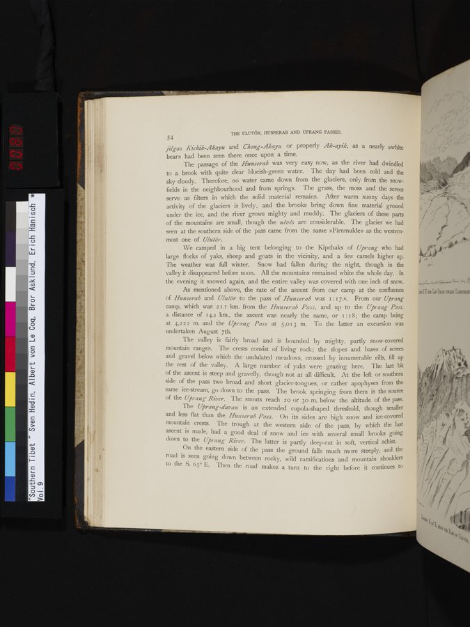
The valley is fairly broad and is bounded by mighty, partly snow-covered mountain ranges. The crests consist of living rock; the slopes and bases of screes and gravel below which the undulated meadows, crossed by innumerable rills, fill up the rest of the valley. A large number of yaks were grazing here. The last bit of the ascent is steep and gravelly, though not at all difficult. At the left or southern side of the pass two broad and short glacier-tongues, or rather apophyses from the same ice-stream, go down to the pass. The brook springing from them is the source of the Uprang River. The snouts reach 2 0 or 3o m, below the altitude of the pass.
The Uprang-davan is an extended cupola-shaped threshold, though smaller and less flat than the Hunserab Pass. On its sides are high snow and ice-covered mountain crests. The trough at the western side of the pass, by which the last ascent is made, had a good deal of snow and ice with several small brooks going down to the Uprang- River. The latter is partly deep-cut in soft, vertical schist.
On the eastern side of the pass the ground falls much more steeply, and the road is seen going down between rocky, wild ramifications and mountain shoulders to the S. 65° E. Then the road makes a turn to the right before it continues to
|
Copyright (C) 2003-2019 National Institute of Informatics and The Toyo Bunko. All Rights Reserved.