National Institute of Informatics - Digital Silk Road Project
| |||||||||
|
| Southern Tibet : vol.9 |
 |
56
THE ULUTÖR, HUNSERAB AND UPRANG PASSES.
41,
i
At Kara-su the winter is cold and much snow falls, though less than in other high valleys in the vicinity. The snow always is deepest at the terskei or shady side of each valley, the köngöi or sunny side being more exposed. The prevailing winter winds come from Parj5ak and Hunserab, i. e. from N. W. and S. W., the same as in Tibet. The summer is less windy. All precipitation falls as snow. The Tajiks of Kara-su belonged to the Vakhanlik tribe which seems to mean that they originated from Vakhan. They pass the winter in Marian and Tash-kurgan.
The Sänkar or Sängar Pass leads to Marian and is said to be difficult. Ogri-arl, »The Thieves' Pass» (pronounced Ograt), is easier and leads to Ütshe or Oche, across a first-class pass in the Kashg-ar Range. The pass of Kara-su is called Tildi-bel, as willows (lal) grow on its eastern side in a gorge which lower down joins the valley from the eastern side of Ilik-su before it reaches Raskandarya. The valley of Ilik-su is said to be very narrow, though at some wider places grow tokai or forests of lal (willow) and kayin (birch). The amount of running water is not very great, but the road is difficult on account of korum, gravel and blocks.
It would be a mistake to imagine the Kashgar Range as one range. The orography is not so simple as that. To do so would be to make the same mistake as to regard the Transhimalaya as one range. The Sänkar road to Yarkand, for instance, is said to cross five passes, most of them difficult, and to take i 2 days. The Kashgar Range is in reality a very complicated system of ranges.
The Raskan-darya is also known as the Serafshan or »Gold-rolling River» .•August 9th we travelled from the Kara-su camp into the Ilik-su valley, the
distance being i 2 km. and the direction N. W. and N. E. Having crossed the brook twice and left Turuk to the south, we began to climb the southern slope of the ramification from the Kashgar Range, separating the Kara-su and Ilik-su valley from each other. Here two small mountain shoulders at our right are called Sank-/ash and Kara-task. The slope becomes more and more steep and is covered with detritus of schist and quartzite.
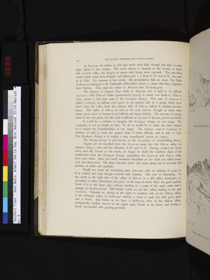
Finally we reach the secondary pass, Otra-bel, with an altitude of 4,467 m. It is vaulted and easy though covered with detritus. The view is interesting. To the north at the right side of the valley of Ilik - su is a hill called Bash yurt, or, according to other information Bos yurl, at the base of which there are good yeilaks. North of it is the large jilga Ish-tur leading to a pass of the same name and a passage to Raskan-darya. Still farther north we see the valley leading to the pass
Sarik-be/. Opposite us, always at the right or northern side of the Ilik-su valley, is the tributary valley of Kalla-aul without a road or pass but with good grass
and a brook. Just below us we have a bird's-eye view of the Ilik-su valley, energetically eroded, narrow in its upper part, broad in its lower, and having a brook surrounded with grazing-grounds.
|
Copyright (C) 2003-2019 National Institute of Informatics and The Toyo Bunko. All Rights Reserved.