National Institute of Informatics - Digital Silk Road Project
| |||||||||
|
| Storia della Spedizione Scientifica Italiana nel Himàlaia, Caracorùm e Turchestàn Cinese(1913-1914) : vol.1 | |
| History of an Italian Science Expedition to Himalayas, Kharakhorum and Chinese Turkistan(1913-1914) : vol.1 |
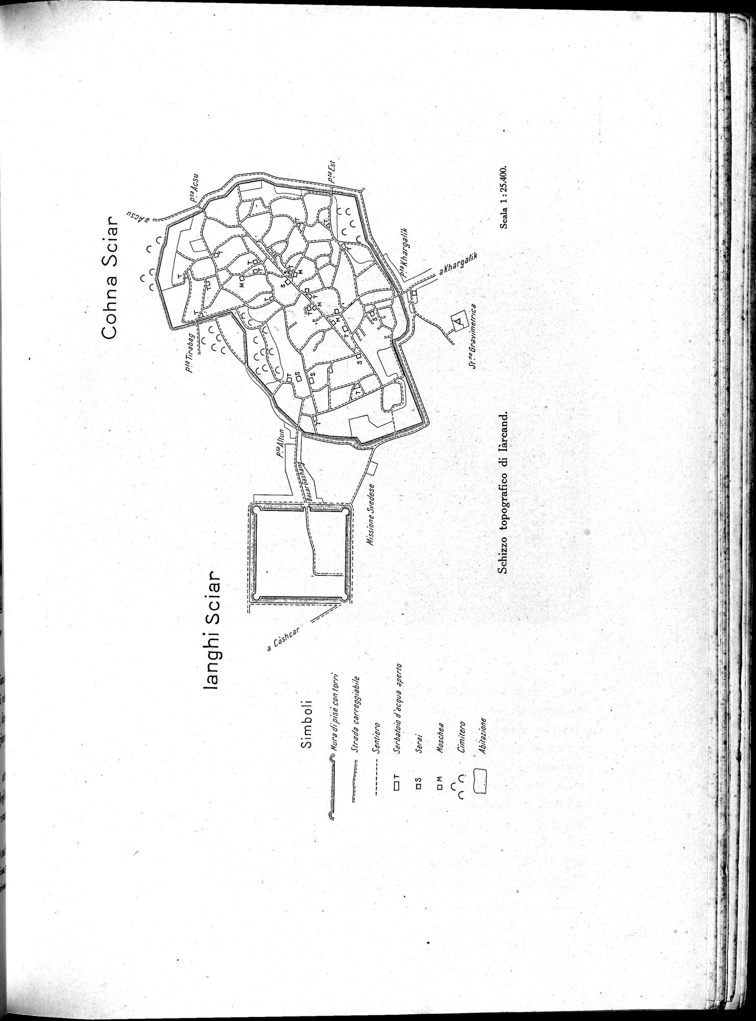 |
| The street plan of IarcandSchizzo topografico di Iàrcand. |
Cohna Sciar
langhi Sciar
Simboli
Mura di pis con torri
--- Strada carregsiabiie
Sentiero
T Serbatoio d'acqua aperto
S Serai
~ M Mesebeg
n
n n • Cimitero
Abiigzione.
Missione Svedese
Schizzo topografico di Iàrcand.
Scala 1 : 25.400.
|
Copyright (C) 2003-2019 National Institute of Informatics and The Toyo Bunko. All Rights Reserved.