National Institute of Informatics - Digital Silk Road Project
| |||||||||
|
| Across Asia : vol.1 |
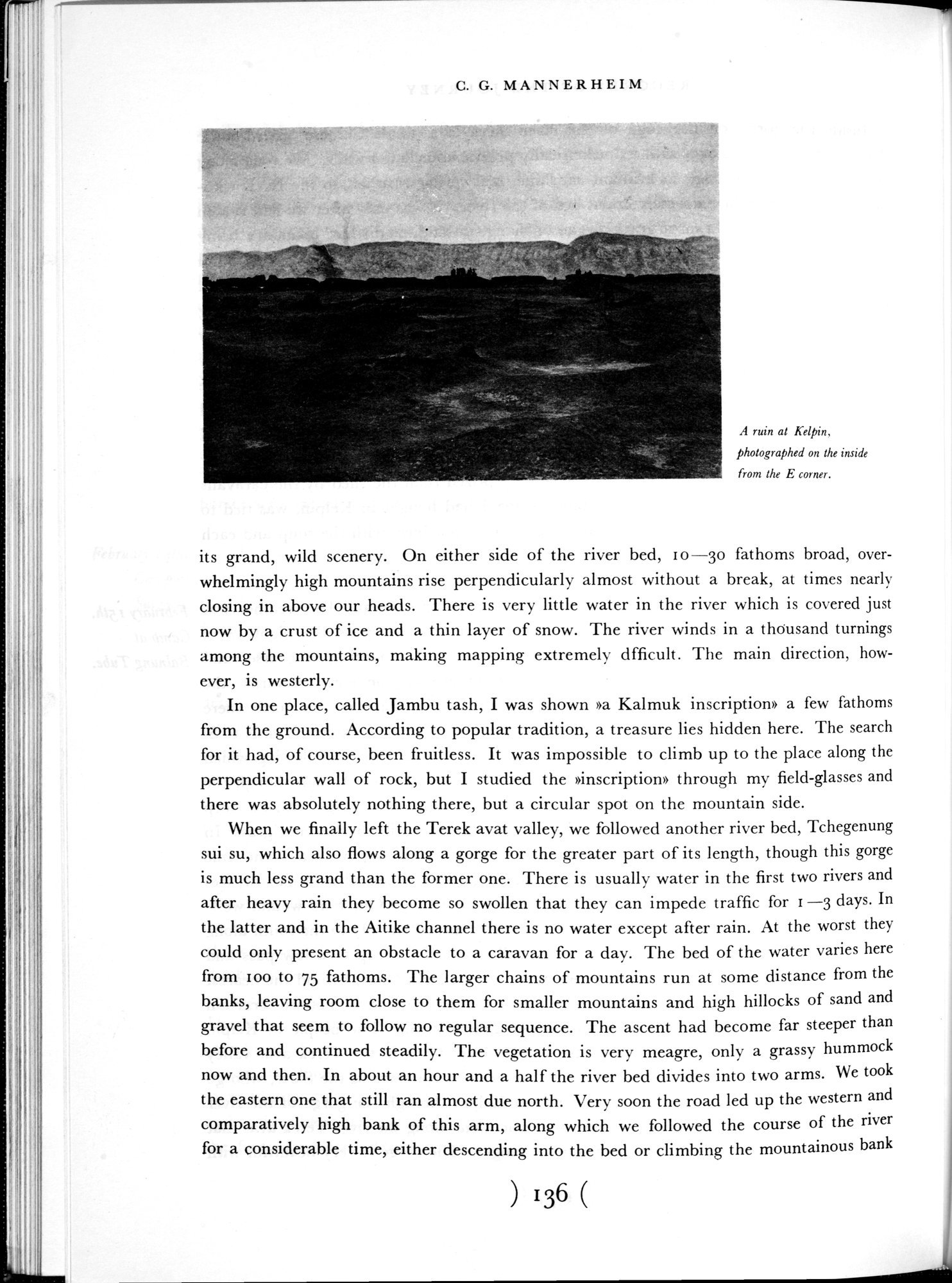 |
| A ruin at Kelpin, photographed on the inside from the E corner. |
C. G. MANNERHEIM
A ruin at Kelpin, photographed on the inside from the E corner.
its grand, wild scenery. On either side of the river bed, 10-30 fathoms broad, overwhelmingly high mountains rise perpendicularly almost without a break, at times nearly closing in above our heads. There is very little water in the river which is covered just now by a crust of ice and a thin layer of snow. The river winds in a thôusand turnings among the mountains, making mapping extremely dfficult. The main direction, however, is westerly.
In one place, called Jambu tash, I was shown »a Kalmuk inscription» a few fathoms from the ground. According to popular tradition, a treasure lies hidden here. The search for it had, of course, been fruitless. It was impossible to climb up to the place along the perpendicular wall of rock, but I studied the »inscription» through my field-glasses and there was absolutely nothing there, but a circular spot on the mountain side.
When we finally left the Terek avat valley, we followed another river bed, Tchegenung sui su, which also flows along a gorge for the greater part of its length, though this gorge is much less grand than the former one. There is usually water in the first two rivers and after heavy rain they become so swollen that they can impede traffic for r —3 days. In the latter and in the Aitike channel there is no water except after rain. At the worst they could only present an obstacle to a caravan for a day. The bed of the water varies here from ioo to 75 fathoms. The larger chains of mountains run at some distance from the banks, leaving room close to them for smaller mountains and high hillocks of sand and gravel that seem to follow no regular sequence. The ascent had become far steeper than before and continued steadily. The vegetation is very meagre, only a grassy hummock now and then. In about an hour and a half the river bed divides into two arms. We took the eastern one that still ran almost due north. Very soon the road led up the western and comparatively high bank of this arm, along which we followed the course of the river for a considerable time, either descending into the bed or climbing the mountainous bank
) 136 (
|
Copyright (C) 2003-2019 National Institute of Informatics and The Toyo Bunko. All Rights Reserved.