National Institute of Informatics - Digital Silk Road Project
| |||||||||
|
| Across Asia : vol.1 |
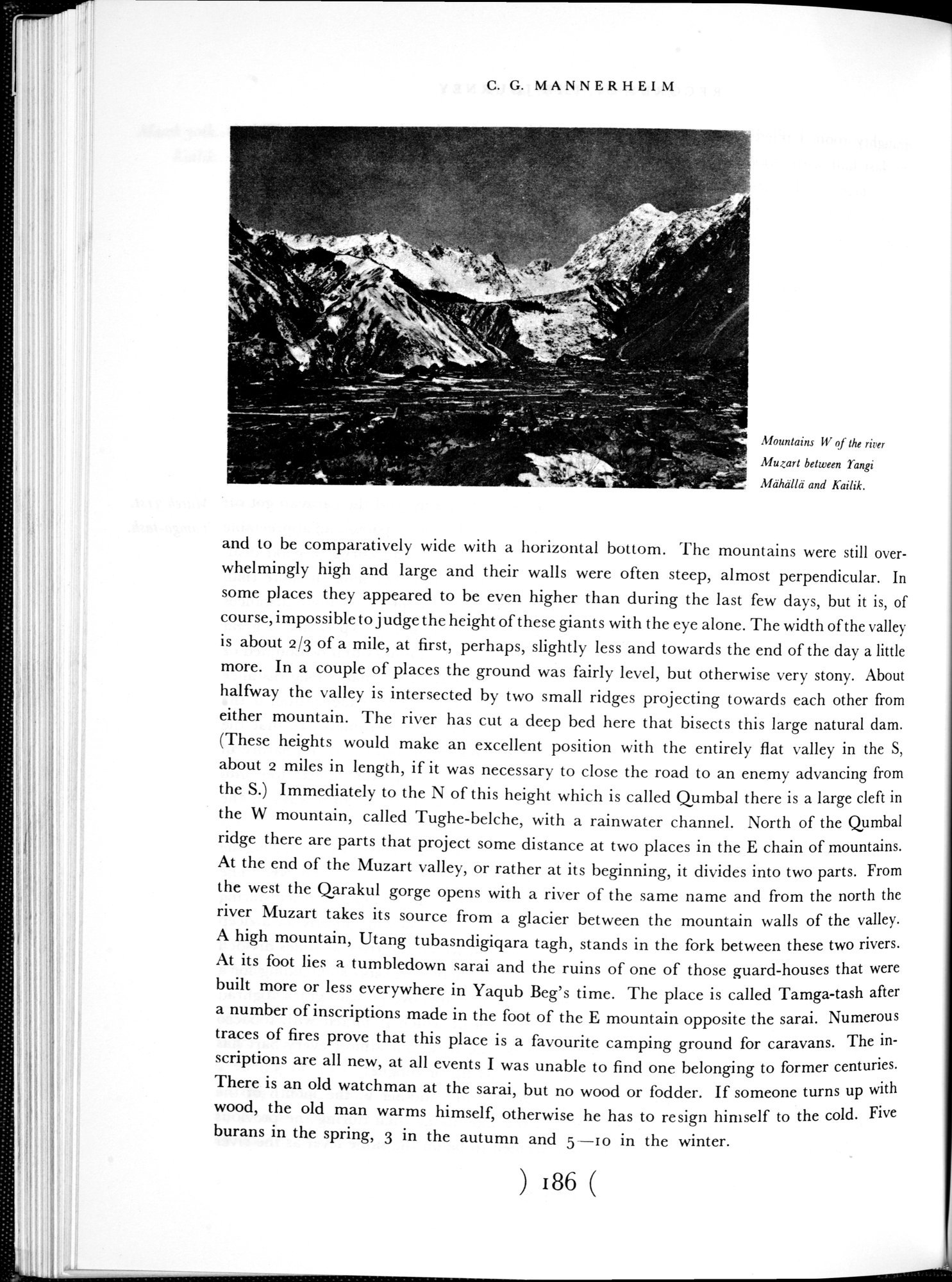 |
| Mountains W of the river Muzart between Yangi Mähällä and Kailik. |
C. G. MANNERHEIM
. _
ra} t.~ n ~~.~. ~•~^
'~4
~ • ~îr ~~y-s •
~ ,â~ . ".-
~:;.'~ = a..-
Mountains W of the river Muzart between Yangi Mähälld and Kailik.
and to be comparatively wide with a horizontal bottom. The mountains were still overwhelmingly high and large and their walls were often steep, almost perpendicular. In some places they appeared to be even higher than during the last few days, but it is, of course, impossible to judge the height of these giants with the eye alone. The width of the valley is about 2/3 of a mile, at first, perhaps, slightly less and towards the end of the day a little more. In a couple of places the ground was fairly level, but otherwise very stony. About halfway the valley is intersected by two small ridges projecting towards each other from either mountain. The river has cut a deep bed here that bisects this large natural dam. (These heights would make an excellent position with the entirely flat valley in the S, about 2 miles in length, if it was necessary to close the road to an enemy advancing from the S.) Immediately to the N of this height which is called Qumbal there is a large cleft in the W mountain, called Tughe-belche, with a rainwater channel. North of the Qumbal ridge there are parts that project some distance at two places in the E chain of mountains. At the end of the Muzart valley, or rather at its beginning, it divides into two parts. From the west the Qarakul gorge opens with a river of the same name and from the north the river Muzart takes its source from a glacier between the mountain walls of the valley. A high mountain, Utang tubasndigiqara tagh, stands in the fork between these two rivers. At its foot lies a tumbledown sarai and the ruins of one of those guard-houses that were built more or less everywhere in Yaqub Beg's time. The place is called Tamga-tash after a number of inscriptions made in the foot of the E mountain opposite the sarai. Numerous traces of fires prove that this place is a favourite camping ground for caravans. The inscriptions are all new, at all events I was unable to find one belonging to former centuries. There is an old watchman at the sarai, but no wood or fodder. If someone turns up with wood, the old man warms himself, otherwise he has to resign himself to the cold. Five burans in the spring, 3 in the autumn and 5 —ro in the winter.
186
|
Copyright (C) 2003-2019 National Institute of Informatics and The Toyo Bunko. All Rights Reserved.