National Institute of Informatics - Digital Silk Road Project
| |||||||||
|
| Across Asia : vol.1 |
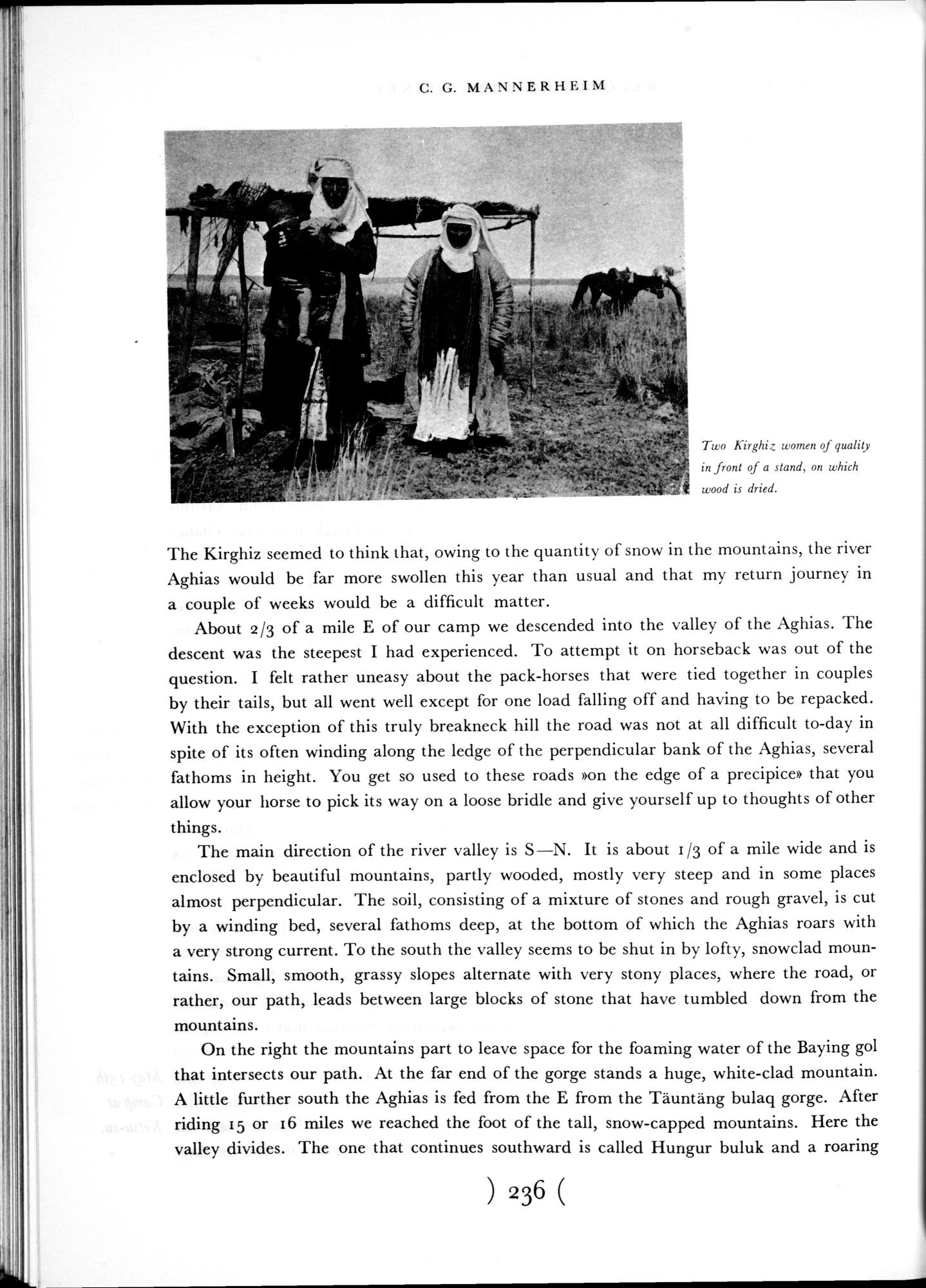 |
| Two Kirghiz women of quality in front of a stand, on which wood is dried. |
C. G. MANNERIIEINI
Two Kirghiz women of quality in front of a stand, on which wood is dried.
The Kirghiz seemed to think that, owing to the quantity of snow in the mountains, the river Aghias would be far more swollen this year than usual and that my return journey in a couple of weeks would be a difficult matter.
About 2/3 of a mile E of our camp we descended into the valley of the Aghias. The descent was the steepest I had experienced. To attempt it on horseback was out of the question. I felt rather uneasy about the pack-horses that were tied together in couples by their tails, but all went well except for one load falling off and having to be repacked. With the exception of this truly breakneck hill the road was not at all difficult to-day in spite of its often winding along the ledge of the perpendicular bank of the Aghias, several fathoms in height. You get so used to these roads »on the edge of a precipice» that you allow your horse to pick its way on a loose bridle and give yourself up to thoughts of other things.
The main direction of the river valley is S—N. It is about 1/3 of a mile wide and is enclosed by beautiful mountains, partly wooded, mostly very steep and in some places almost perpendicular. The soil, consisting of a mixture of stones and rough gravel, is cut by a winding bed, several fathoms deep, at the bottom of which the Aghias roars with a very strong current. To the south the valley seems to be shut in by lofty, snowclad mountains. Small, smooth, grassy slopes alternate with very stony places, where the road, or rather, our path, leads between large blocks of stone that have tumbled down from the mountains.
On the right the mountains part to leave space for the foaming water of the Baying gol that intersects our path. At the far end of the gorge stands a huge, white-clad mountain. A little further south the Aghias is fed from the E from the Täuntäng bulaq gorge. After riding 15 or i 6 miles we reached the foot of the tall, snow-capped mountains. Here the valley divides. The one that continues southward is called Hungur buluk and a roaring
) 236 (
|
Copyright (C) 2003-2019 National Institute of Informatics and The Toyo Bunko. All Rights Reserved.