National Institute of Informatics - Digital Silk Road Project
| |||||||||
|
| Across Asia : vol.1 |
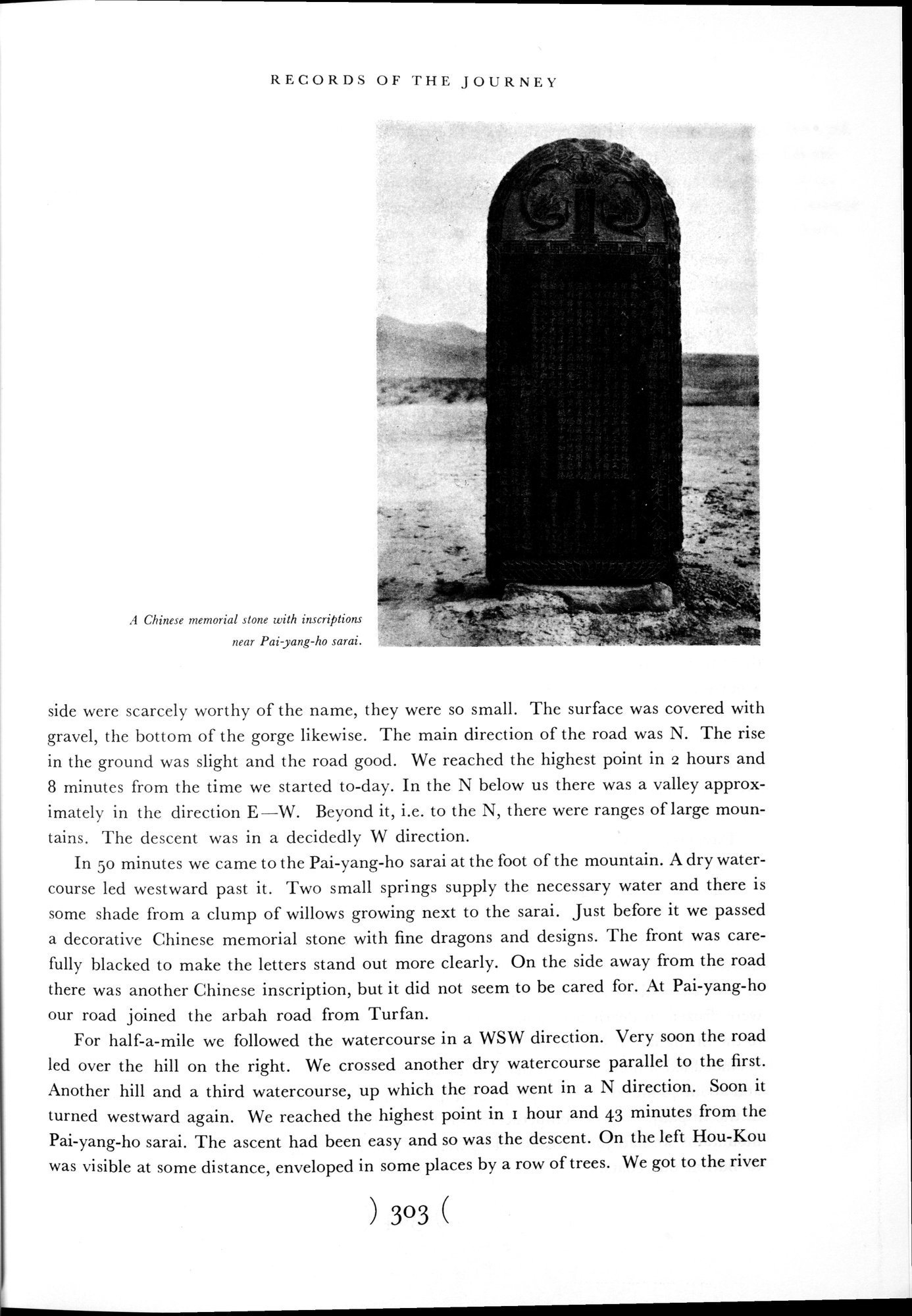 |
| A Chinese memorial stone with inscriptions near Pai-yang-ho sarai. |
RECORDS OF THE JOURNEY
| A Chinese memorial stone with inscriptions Izear Pai-yang-ho sarai. |
side were scarcely worthy of the name, they were so small. The surface was covered with gravel, the bottom of the gorge likewise. The main direction of the road was N. The rise in the ground was slight and the road good. We reached the highest point in 2 hours and 8 minutes from the time we started to-day. In the N below us there was a valley approximately in the direction E—W. Beyond it, i.e. to the N, there were ranges of large mountains. The descent was in a decidedly W direction.
In 50 minutes we came to the Pai-yang-ho sarai at the foot of the mountain. A dry watercourse led westward past it. Two small springs supply the necessary water and there is some shade from a clump of willows growing next to the sarai. Just before it we passed a decorative Chinese memorial stone with fine dragons and designs. The front was carefully blacked to make the letters stand out more clearly. On the side away from the road there was another Chinese inscription, but it did not seem to be cared for. At Pai-yang-ho our road joined the arbah road from Turfan.
For half-a-mile we followed the watercourse in a WSW direction. Very soon the road led over the hill on the right. We crossed another dry watercourse parallel to the first. Another hill and a third watercourse, up which the road went in a N direction. Soon it turned westward again. We reached the highest point in i hour and 43 minutes from the Pai-yang-ho sarai. The ascent had been easy and so was the descent. On the left Hou-Kou was visible at some distance, enveloped in some places by a row of trees. We got to the river
)303(
|
Copyright (C) 2003-2019 National Institute of Informatics and The Toyo Bunko. All Rights Reserved.