National Institute of Informatics - Digital Silk Road Project
| |||||||||
|
| Across Asia : vol.1 |
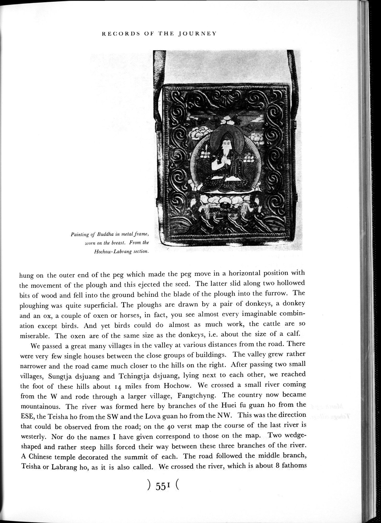 |
| Painting of Buddha in metal frame, worn on the breast. From the Hochow-Labrang section. |
RECORDS OF THE JOURNEY
{511111IMS•N111»1l\1,M»~l)i`~Mr11`+Yt111~0~~`••a,a ~`yi• -.
,~~ ~
~~ ~ • ,
,, -3
ÿ,.:~•.~.~~~.~~.~~.~...,."„I••N‘'A\17.1RANWr"NS.r"\\VV\l,,rtll1~'.
,.. .. -..-. ........ .--,....~- .._.-...+-.s . _. ~. . ,... ..._...-.. - -
Painting of Buddha in metal frame, worn on the breast. From the Hochow-Labrang section.
hung on the outer end of the peg which made the peg move in a horizontal position with the movement of the plough and this ejected the seed. The latter slid along two hollowed bits of wood and fell into the ground behind the blade of the plough into the furrow. The ploughing was quite superficial. The ploughs are drawn by a pair of donkeys, a donkey and an ox, a couple of oxen or horses, in fact, you see almost every imaginable combination except birds. And yet birds could do almost as much work, the cattle are so miserable. The oxen are of the same size as the donkeys, i.e. about the size of a calf.
We passed a great many villages in the valley at various distances from the road. There were very few single houses between the close groups of buildings. The valley grew rather narrower and the road came much closer to the hills on the right. After passing two small villages, Sungtja dsjuang and Tchingtja dsjuang, lying next to each other, we reached the foot of these hills about 14 miles from Hochow. We crossed a small river coming from the W and rode through a larger village, Fangtchyng. The country now became mountainous. The river was formed here by branches of the Huei fu guan ho from the ESE, the Teisha ho from the SW and the Lova guan ho from the NW. This was the direction that could be observed from the road; on the 40 verst map the course of the last river is westerly. Nor do the names I have given correspond to those on the map. Two wedge-shaped and rather steep hills forced their way between these three branches of the river. A Chinese temple decorated the summit of each. The road followed the middle branch, Teisha or Labrang ho, as it is also called. We crossed the river, which is about 8 fathoms
551
|
Copyright (C) 2003-2019 National Institute of Informatics and The Toyo Bunko. All Rights Reserved.