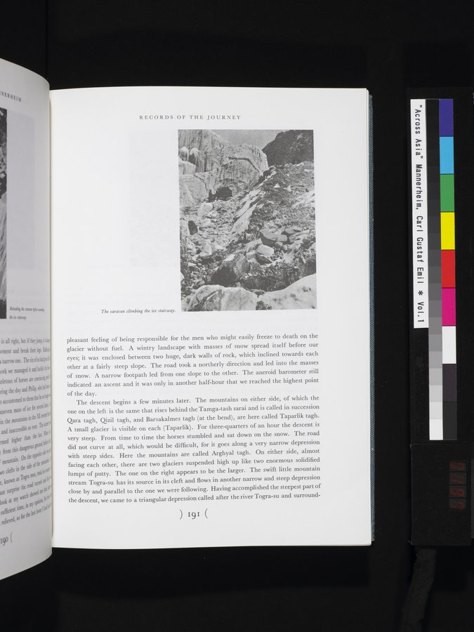
pleasant feeling of being responsible for the men who might easily freeze to death on the glacier without fuel. A wintry landscape with masses of snow spread itself before our eyes; it was enclosed between two huge, dark walls of rock, which inclined towards each other at a fairly steep slope. The road took a northerly direction and led into the masses of snow. A narrow footpath led from one slope to the other. The aneroid barometer still indicated an ascent and it was only in another half-hour that we reached the highest point of the day.
The descent begins a few minutes later. The mountains on either side, of which the one on the left is the same that rises behind the Tamga-tash sarai and is called in succession Qara tagh, Qizil tagh, and Barsakalmes tagh (at the bend), are here called Taparlik tagh. A small glacier is visible on each (Taparlik). For three-quarters of an hour the descent is very steep. From time to time the horses stumbled and sat down on the snow. The road did not curve at all, which would be difficult, for it goes along a very narrow depression with steep sides. Here the mountains are called Arghyal tagh. On either side, almost facing each other, there are two glaciers suspended high up like two enormous solidified lumps of putty. The one on the right appears to be the larger. The swift little mountain stream Togra-su has its source in its cleft and flows in another narrow and steep depression close by and parallel to the one we were following. Having accomplished the steepest part of the descent, we came to a triangular depression called after the river Togra-su and surround-
) 191 (