国立情報学研究所 - ディジタル・シルクロード・プロジェクト
| |||||||||
|
| Across Asia : vol.1 | |
| アジア横断 : vol.1 |
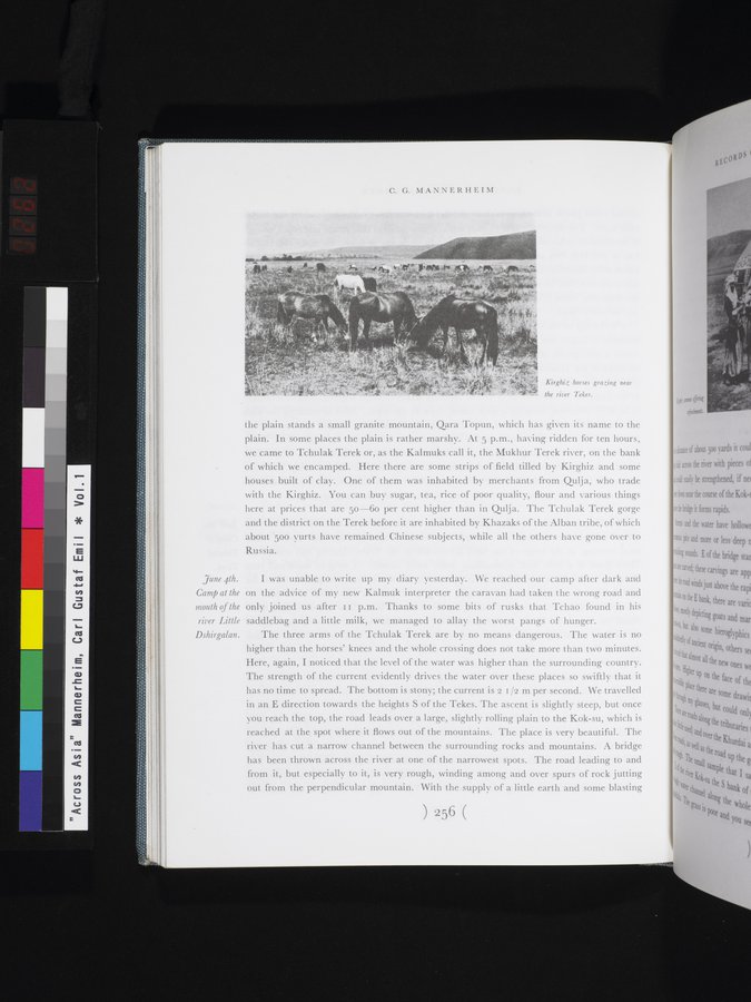 |
| テケス川近くで草を食むキルギス馬。Kirghiz horses grazing near the river Tekes. |
C. G. MANNERHEIM
June 4th. Camp at the mouth of the river Little Dshirgalan.
Kirghiz horses grazing near
the river Tekes.
the plain stands a small granite mountain, Qara Topun, which has given its name to the plain. In some places the plain is rather marshy. At 5 p.m., having ridden for ten hours, we came to Tchulak Terek or, as the Kalmuks call it, the Mukhur Terek river, on the bank of which we encamped. Here there are some strips of field tilled by Kirghiz and some houses built of clay. One of them was inhabited by merchants from Qulja, who trade with the Kirghiz. You can buy sugar, tea, rice of poor quality, flour and various things here at prices that are 50-6o per cent higher than in Qulja. The Tchulak Terek gorge and the district on the Terek before it are inhabited by Khazaks of the Alban tribe, of which about 50o yurts have remained Chinese subjects, while all the others have gone over to Russia.
I was unable to write up my diary yesterday. We reached our camp after dark and on the advice of my new Kalmuk interpreter the caravan had taken the wrong road and only joined us after II p.m. Thanks to some bits of rusks that Tchao found in his saddlebag and a little milk, we managed to allay the worst pangs of hunger.
The three arms of the Tchulak Terek are by no means dangerous. The water is no higher than the horses' knees and the whole crossing does not take more than two minutes. Here, again, I noticed that the level of the water was higher than the surrounding country. The strength of the current evidently drives the water over these places so swiftly that it has no time to spread. The bottom is stony; the current is 2 1 /2 m per second. We travelled in an E direction towards the heights S of the Tekes. The ascent is slightly steep, but once you reach the top, the road leads over a large, slightly rolling plain to the Kok-su, which is reached at the spot where it flows out of the mountains. The place is very beautiful. The river has cut a narrow channel between the surrounding rocks and mountains. A bridge has been thrown across the river at one of the narrowest spots. The road leading to and from it, but especially to it, is very rough, winding among and over spurs of rock jutting out from the perpendicular mountain. With the supply of a little earth and some blasting
~56
|
Copyright (C) 2003-2019
National Institute of Informatics(国立情報学研究所)
and
The Toyo Bunko(東洋文庫). All Rights Reserved.
本ウェブサイトに掲載するデジタル文化資源の無断転載は固くお断りいたします。